Objectives of the service
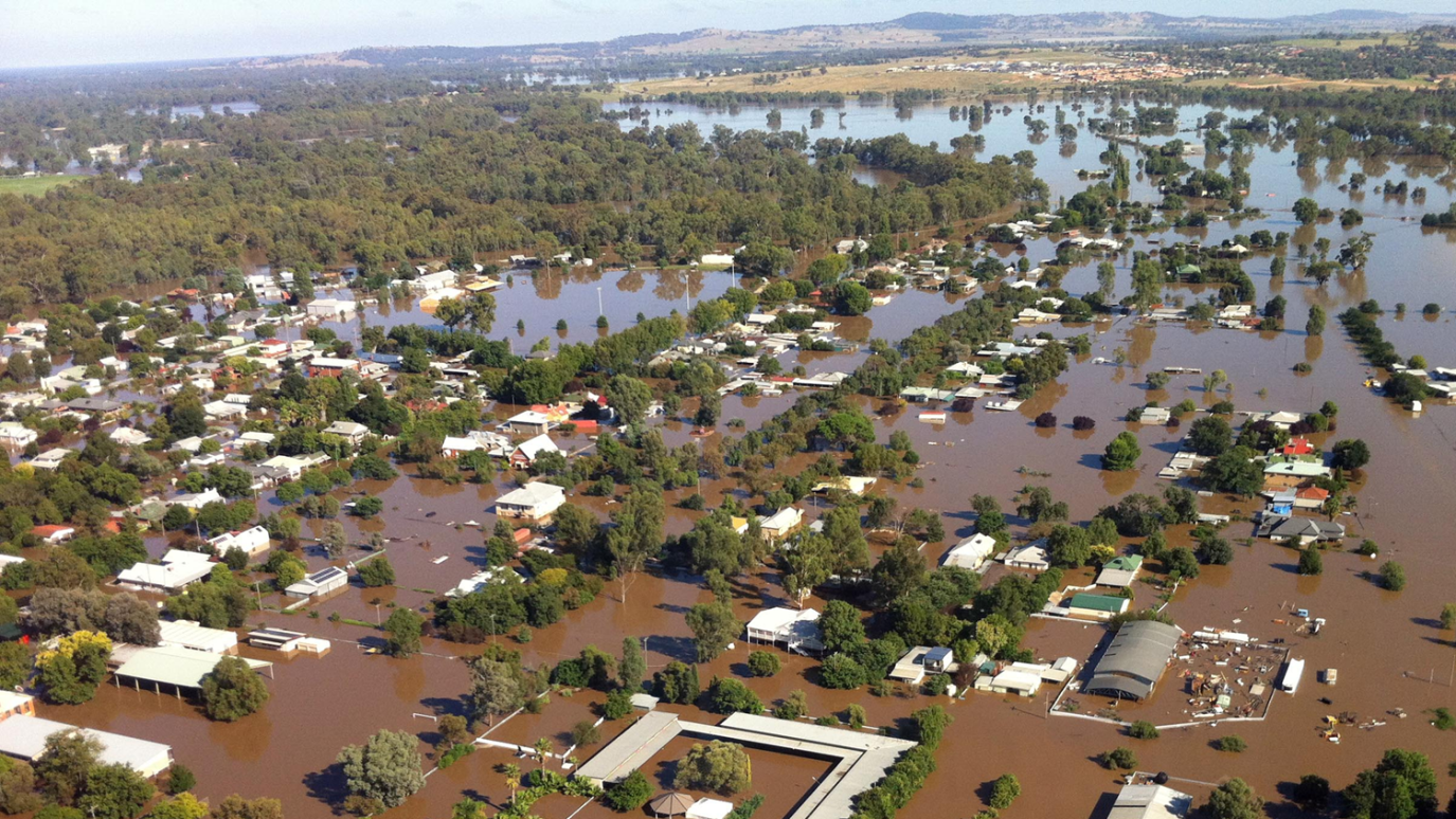
About 7 per cent of residential properties in homes across Australia are exposed to predictable and repetitive flooding, causing an average of $450 million in flood damage each year. Insurers and water authorities want to fully understand the cause of flooding.
Currently it takes water managers a lot of time and effort to collect the required information before, during and after an extreme rainfall and flood event. Water managers have a difficult task and require improved information regarding rainfall and streamflow to manage flood events as they unfold allowing them more time to make good decisions.
Thanks to funding from the European Space Agency a solution is developed that allows water managers and insurance companies to access required information about flood and rain events quickly and easily. The Rain and Flood Report Generator automatically collects the best available rainfall and flood data from crowdsourcing apps, gauges, radars and satellites. The generator smartly translates data into a Word or PDF document containing all required information to support flood analysis.
Users and their needs
The solution targets the insurance and water industry.
Insurance companies are confronted with an increasing number of flood claims. Most policies state that insurance companies will pay for damage caused by excessive rainfall or storm water and not for damage caused by rising river levels. It currently takes a lot of time and money to collect the required data and information to identify this cause. Automation of these processes via the Flood and Rain Report Generator are hugely beneficial for insurance companies, since it:
- Improves data quality and availability;
- Enhances transparency in cause analysis;
- Saves a lot of time and money.
The Flood and Rain Report Generator is also beneficial for water managers:
- To improve flood modelling and flood analysis which could result in better flood prevention measurements
- To improve flood risk communication to empower the community taking the right actions to save lives
- To provide local flood intelligence for emergency services during flood events to reduce social and economic damage
Australia was chosen as pilot area, as numerous disasters occur in Australia, the populated areas are poorly monitored and using satellite data is therefore expected to be very beneficial.
Because of the scalability of the service, the Flood and Rain Report Generator services are extended to other continents with similar challenges, with Germany and South Africa as additional pilot areas.
Service/ system concept
The Flood and Rain Report Generator consists of 4 applications which are available via the HydroNET Water Control Room:
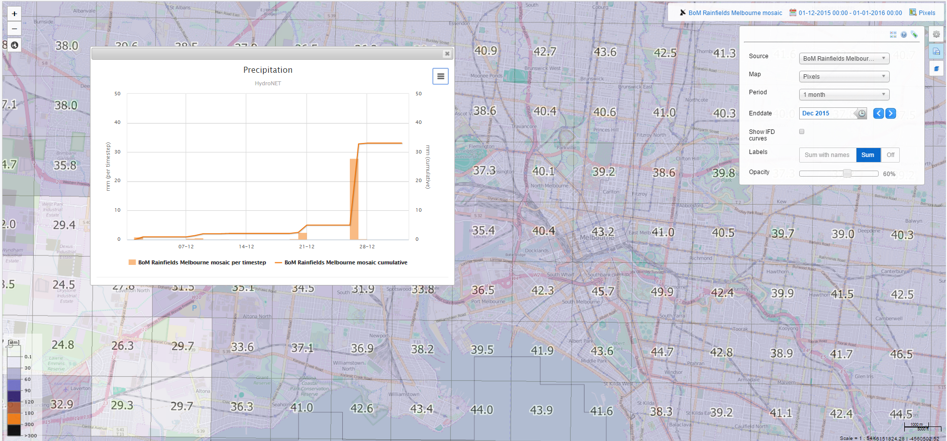
- The RainWatch application automatically collects available weather data sources from satellites, radars and gauges and transfers this information into valuable dashboards which provide easy access to the best available rainfall information for the whole of Australia
- The FloodWatch application provides access to smart strategic and operational flood information from satellites and gauges and disseminated flood warning and flood mapping information to the community and to emergency managers
- The WaterWatchers application is a smartphone app to collect flood information from the crowd during flood or rain events
- The Report Generator and web publisher automatically transfers available flood and rainfall information into tailored reports for a site specific flood event.
The strength of our solution lies in the combination of different data sources: flow gauges, rain gauges, radar data, crowdsourcing information and satellite data. Our solution always uses and provides access to the best available flood and rain information taken into account the available data.
Space Added Value
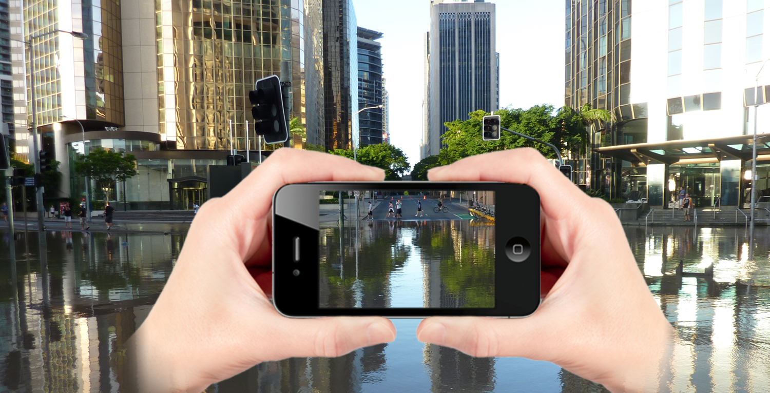
Australia is a sparsely monitored country: only along the coastal strip and in highly populated inland areas, monitoring networks exist, whereas many hazards originate inland or from the sea. For data sparse regions like Australia and Africa, Earth Observation and geo-localisation services can provide important knowledge and information for an improved understanding of flood and rain events. For the Flood and Rain Report Generator we use Earth Observation capabilities to collect weather data before, during and after an event, and we use GNSS capabilities to determine the geo-location of the photos/videos captured via the WaterWatchers crowd-sourcing app.
Current Status
The project started in January 2015. In May 2016 over 20 organisations joined the user requirement workshops. The services has been successfully demonstrated during the storm season from September 2015 to April 2016 and from February 2017 to May 2017 in Australia, South Africa and Germany.
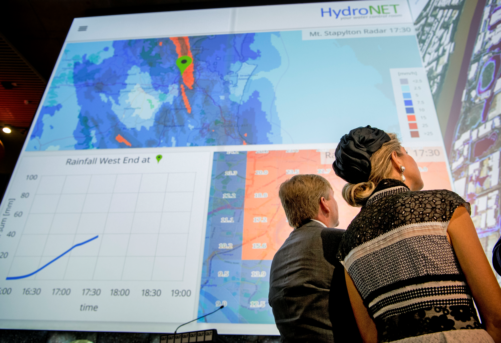
One of the highlights of the project was in November 4th 2016, when the Dutch King Willem Alexander and Queen Maxima officially launched the HydroNET applications developed within the demonstration project. During this royal visit, HydroLogic Systems and Water Technology signed a long-term cooperation agreement to sell the InsureApp applications in Australia.
Also in South Africa and Germany HydroLogic has already established a partner network with South African Weather Service (SAWS, South Africa), and Hydro&Meteo (Germany). With these local partners, a strong value and partner chain has been established in which the tasks and responsibilities are clearly divided to empower water professionals from the insurance industry and water market to make well-informed and transparent decisions.