
Objectives of the service
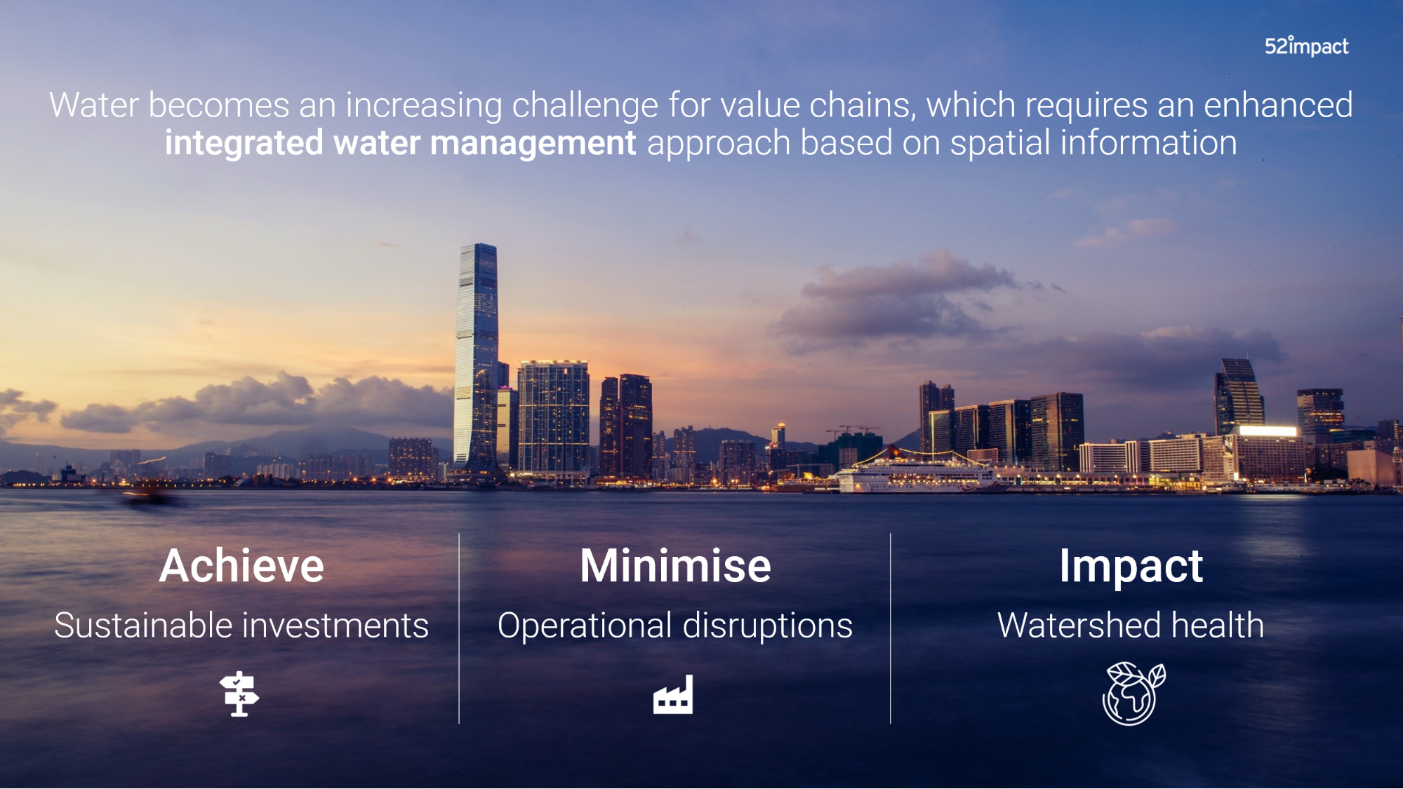
Many regions in the world face huge water challenges due to population growth, changing lifestyle patterns, rapid urbanisation and industrialisation. Together with climate change, this places unprecedented pressure on limited water supplies and lead to water shortages. Consequences of water shortages include declining amounts of drinking water, less water availability for sanitation, crop loss, and supply chain disruptions. Industries struggle to determine how to effectively manage water resources, because there is a lack of high-quality frequently updated information concerning water stress levels, their exposure to water risks, and effective solutions.
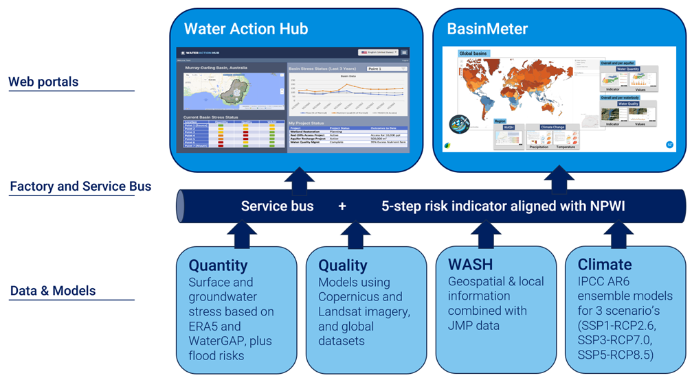
BasinMeter is a platform that supports users to assess current water risks and trends for the basin they are active in. Furthermore, it defines possible actions to reduce their water footprint and water risks to achieve Net Positive Water Impact (NPWI) targets. BasinMeter follows the NPWI in its focus on water stress in its three dimensions: availability, quality, and accessibility, and adds climate change information as well.
Users and their needs
The main customer group consists of companies in the food & beverage industry. They have the following needs:
Customer’s Pains/Problems:
-
Unidentified water risks lead to high costs in relation to stranded assets and unexpected costs in the supply chain.
-
Lack of a standardised and automated method to measure water stress/resilience indicators at regular intervals and various spatial (global to local / major basin to minor basin) scales.
-
Difficult to integrate various data sources and determine and predict risks impact of business decisions on water stress.
-
Time consuming, costly, inconsistent and inefficient ground data collection lead to high costs.
Customer’s Gains/Objectives:
-
Water becomes manageable; risks are identified and mitigated.
-
BasinMeter provides information concerning the whole scope of water including water availability, water quality, access to water, and climate projections.
-
BasinMeter enables cooperation amongst multiple stakeholders in the same watershed by providing all stakeholders access to the same information, which enables collective actions.
-
Regular monitoring of the impact of their resilience actions (with basin level coverage) to achieve NPWI at basin scale (in any basin, anywhere in the world).
-
Better prediction of potential reputational, financial and environmental consequences of proposed actions, programs or policies before they are implemented.
-
Cost-effective, timely and accurate analytics on water availability and quality, distribution and trends.
-
BasinMeter enables the development, implementation, and monitoring of effective water risk mitigation plans including the implementation of nature-based solutions, water efficiency programs with farmers, and soil water retention plans.
Service/ system concept
BasinMeter is provided on two levels:
-
Level 1: for every basin the main water stress level is provided on Hydrosheds level 4. This is done regarding water availability, water quality, and accessibility on a 5-point scale that is aligned with Net Positive Water Impact (NPWI). The output is freely accessed online through dashboards integrated into the Water Action Hub. This information allows companies to have a baseline and an understanding of the shared water challenges for a given basin. Climate models are implemented to predict future basin water gaps. These gaps inform a basin-wide target-setting process and the development of a portfolio of actionable projects, enabling companies to invest in initiatives that scale up their positive impact on water.
-
Level 2: additional site and catchment level insights are needed by organisations to understand their specific water risks and vulnerabilities. Furthermore, organisations need recommendations regarding the actions they can take to reduce their water vulnerabilities and improve watershed health.
52impact satisfies these needs with level 2 BasinMeter monitoring. Specifically, clients that use BasinMeter on level 2 get:
-
Insights concerning their water risks and vulnerabilities in their selected watersheds on Hydrosheds level 6.
-
Recommendations concerning collective actions and water replenishment activities that they can implement to realize their water targets.
-
(Optional) other related topics such as impact measurements of nature-based solutions including impact on water and biodiversity.
Space Added Value
BasinMeter combines remote sensing data with other supplemental attributes to develop a more comprehensive understanding of water stress patterns and to inform effective management and conservation strategies. The main advantages of using satellite Earth observation are:
-
Global coverage: our clients need information of watersheds around the globe.
-
Frequently updated information: many of the existing datasets are only updated every 2 – 5 years. Satellite Earth observation provides updates on a daily/weekly basis.
-
Archived data: identifying historical trends is essential to understand the water stress in watersheds.
-
High spatial resolution: existing data provides information on a rather coarse level (low spatial resolution). With satellite Earth observation we can zoom-in to field level to understand water risks.
Current Status
-
Iterating the service concept with multiple users.
-
Development of automation of systems of BasinMeter.
Prime Contractor(s)
