Objectives of the service
Offshore wind developers, marine planners and research institutions face major challenges in accessing reliable, continuous and spatially representative metocean data. Traditional measurement campaigns are expensive, slow, and often affected by gaps and inconsistencies, limiting their usefulness in project development, regulatory approval and operational optimisation.
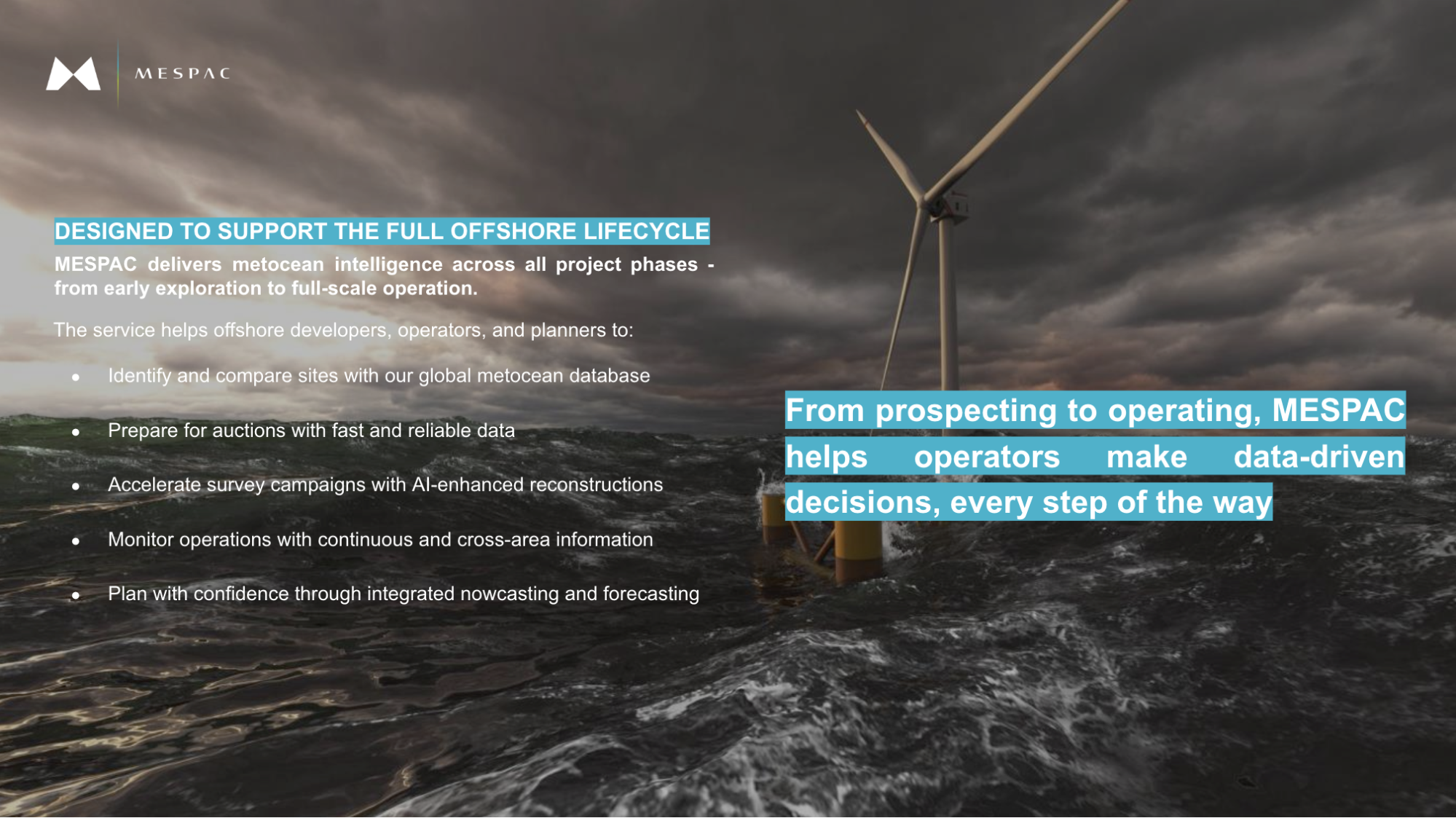
MESPAC addresses these challenges by delivering a cloud-based data and analytics platform that integrates satellite Earth Observation with Artificial Intelligence. The service generates high-resolution, gap-free time series of wind and wave conditions, enabling faster site assessments, improved decision-making, with significant cost and time savings.
This project will complete the development of the service and test it in operational conditions, in collaboration with users active in the offshore wind sector. It will also help define how the service can be used in different contexts, ensuring it meets real needs and is ready to be applied at scale.
Users and their needs
The service targets three main user groups which are offshore wind developers, marine planners and research institutions. All three face major challenges in accessing reliable, continuous and spatially refined metocean data. Traditional measurement campaigns are expensive, slow, and often affected by data-gaps and inconsistencies.
MESPAC addresses these challenges by delivering a cloud-based data and analytics platform that integrates satellite Earth Observation with Artificial Intelligence. The service generates high-resolution, gap-free time series of wind and wave conditions, enabling faster site assessments, improved decision-making, and significant cost and time savings.
This project will complete the development of the service and test it in operational conditions, in collaboration with users active in the offshore wind sector. It will also help define how the service can be used in different contexts, ensuring it meets real needs and is ready to be applied at scaled developers, offshore renewable energy research centres, and public authorities involved in marine spatial planning. These users are primarily based in Europe, with a focus on countries active in offshore wind development around the North Sea and the Mediterranean.
Users involved in the activity include technical teams responsible for site assessment, research groups working on resource characterisation, and institutions supporting planning and permitting processes. Their needs are the following:
-
Reliable access to wind and wave data for site assessment and monitoring.
-
Reduction of time and cost associated with in-situ measurement campaigns.
-
Ability to cover large marine areas with consistent and traceable data.
-
Integration of multiple data sources into a unified system.
-
Tools to support reporting to external stakeholders (e.g. regulators, lenders).
Service/ system concept
The service provides continuous information on wind and wave conditions in offshore areas, combining satellite data and existing field measurements. Users receive time series with hourly resolution, covering both recent and historical periods, with coverage extended across entire wind farm zones—not just single points.
The platform includes three key functions:
-
Support for site assessment through faster, more complete data collection.
-
Automated gap filling and quality checks on user-collected data.
-
Area-wide analysis to assess conditions across full project footprints.
Users can access the service through a secure web platform or via API, depending on their workflow. Data is downloadable or viewable in interactive dashboards.
The system works by collecting satellite data and in-situ measurements from public and user-provided sources. These are processed centrally and organised in a structured database. Advanced data correlation techniques are applied to complete missing values and improve consistency. The final output is a set of harmonised, ready-to-use time series for selected offshore locations.
At a high level, the architecture includes:
-
A data acquisition layer (satellites, sensors)
-
A processing and storage backend
-
A web interface and API for users

Space Added Value
The service relies on two categories of space assets: Earth Observation (EO) data and satellite-based Positioning, Navigation and Timing (PNT) systems.
A wide set of EO satellites—including Sentinel-1, Sentinel-3, CFOSAT, CryoSat-2 and others—is used to extract key marine parameters such as wind speed and direction, wave height, period and direction. By combining radar altimetry, scatterometry and synthetic aperture radar, the system can overcome the limitations of single-instrument data and reduce gaps due to satellite revisit time.
PNT data, primarily from the Galileo constellation, is used to geo-reference in-situ marine sensors and to ensure precise spatial and temporal alignment between field and satellite data, which is critical for validation and performance monitoring.
Compared to conventional metocean survey approaches—based on isolated in-situ campaigns or model-only reconstructions—the use of space assets enables continuous, area-wide data coverage, higher consistency across sites, and the ability to reconstruct historical series with fewer blind spots. Unlike modelling services, the approach is based on real observations, improving confidence in extreme event detection and supporting critical decisions in planning, design and asset management.
Current Status
The Critical Design Review (CDR) has been successfully completed, marking the closure of the design phase. The System & Service Architecture (SSA) has been finalised, defining the main architectural blocks and the underlying software and hardware components required to meet the validated requirements established at the previous milestone.
In parallel, the Business Plan (BP) has been updated, incorporating revised market analyses and reflecting the most recent trends in offshore wind development. The update also integrates new data on the global and regional offshore wind pipeline.
During this phase, MESPAC has also expanded its network of collaborations through participation in a dedicated offshore-wind acceleration programme, engaging directly with a Tier-1 offshore wind developer to gather technical and commercial feedback on the evolving service. This collaboration strengthens the project’s validation path toward commercial readiness.
With the design baseline closed, the project now enters the procurement and development phase, leading to the integration and testing of all system components ahead of the Factory Acceptance Test (FAT) and Site Acceptance Test (SAT) milestones.