Objectives of the service
To develop an offshore wind farm, developers need offshore surveys to know wind, waves, currents and other metocean characteristics of the site to be developed. Still nowadays, offshore surveys can be extremely time consuming, expensive and risky. Furthermore, the quality of the data collected is frequently affected by instrumentation failures and by issues related to the establishment of effective communications with the infrastructure deployed on site.
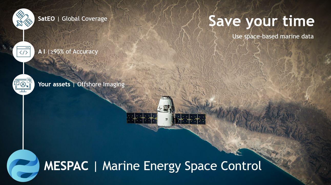
MESPAC integrates existing reliable Satellite Earth Observation data sources with advanced physical models and Artificial Intelligence algorithms to boost the development of new ocean energy applications, without having to perform offshore operations. This is achieved thanks to:
-
The analysis of metocean characteristics of the appointed site with state-of-the-art physical and geophysical models
-
The integration of available data provided by third parties who deployed infrastructure close to the geographic location of the site of interest
-
The adoption of proprietary Artificial Intelligence algorithms to increase the accuracy of continuous datasets
-
The access to an online platform to create and customize interactive dashboards with the use of a robust data analytics search and presentation engine
With MESPAC, offshore wind developers have the ability to continuously monitor their sites of interest without the typical risks and issues encountered during offshore surveys.
Users and their needs
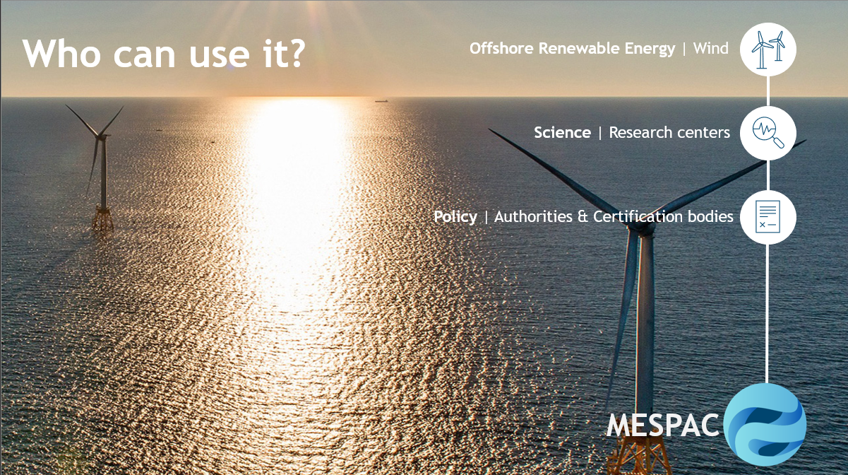
The main appointed users of MESPAC are offshore wind project developers. For the development of new projects, they can use the proposed service to ensure funds from investors and financial institutions which will rely on the ability of MESPAC to provide certified data.
In parallel, offshore wind developers can use MESPAC to support business decision for the design, engineering, operation and safety aspects for new wind farm installations.
Additionally, targeted customer segments are also offshore renewable test sites and research centres as well as policy makers dealing with marine spatial planning and development strategies.
According to feedback gathered from engaging with all the previous segments, it was expressed that all the groups where in the need of a solution which provides the following:
-
Assessment of metocean characteristics to support technical and financial decisions for new offshore wind projects
-
Validation of numerical models based on historic metocean datasets for offshore sites analysis
-
Characterization of offshore sites with the integration of environmental and maritime information
MESPAC users will access survey-like information, completely de-risking the required operations and saving considerable amount of time required by offshore measurement campaigns.
Service/ system concept
Selecting the right area to deploy offshore wind farms and other ocean energy devices is core to maximize energy generation and related expected revenues, while minimizing associated risks. The main metocean parameters considered are:
-
Wind speed and direction
-
Wave height, period and direction
-
Metocean characteristics
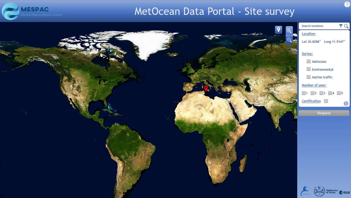
By accessing the MESPAC platform, users can select the sites of interest and access different types of reports and dashboards to visualize the survey results. Once the survey starts, data are collected from Earth Observation Satellite sources and integrated with third-party environmental and maritime information to provide a complete overview of the site. The study aims to demonstrate that MESPAC can complete this process and save from 50% to 80% of the time generally required to perform an offshore survey.
Moreover, the analytics engine provides a re-analysis service of historic datasets with recent survey information. The previous can highlight shifts in average phenomena and/or climate change effects happening at the monitored site.
A certified process for data collection and analysis will ensure quality, reliability and availability of the data.
Space Added Value
The MESPAC service aims to group and collect satellite data from different Earth Observation Satellite constellations.
Infrastructure and meteorological stations near the appointed site are also integrated in the database of MESPAC with data fusion techniques to calibrate and validate the measurements.
All the gathered data are post-processed through the use of proprietary algorithms and models in order to improve the quality of the outputs.
Proprietary buoys data are retrieved from or near the appointed site thanks to SatCOM and/or GSM data connections.
Current Status
The MESPAC team has successfully completed the feasibility study. A thorough user engagement and service requirements consolidation activity, interviewing almost 40 representatives from the three targeted customer segments, has been completed. A list of potential future stakeholders of the proposed service has been appointed for follow-up activities. The mitigation strategy for the risk analysis for the development of the solution has been established and a step-by-step development plan to move the service from a concept up to a commercial level has been provided.
This present feasibility study was the reason for the establishment of a new start-up company (MESPAC Srl, www.mespac.space, info@mespac.spaceinfo@mespac.space). MESPAC Srl has been selected for the ESA BIC Program in Turin (www.esabic-turin.it/community).
The consortium that carried out the feasibility study intends to propose for a follow up Demo Project with the aim to initiate the activity during 2023. The goal is to establish a commercially successful service, which will meet user needs and start generating revenues starting from 2024-2025.