
Objectives of the service
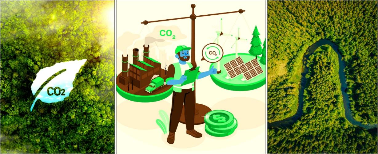
CarbonEagle is a digital MRV platform built to combat deforestation, climate change, and biodiversity loss. Tailored for project developers, environmental investors, and financial institutions, it provides a Measuring, Reporting, and Verification (MRV) system that brings accuracy, transparency, and trust to the forest carbon credit market.
By harnessing nature-based solutions and advanced technology, CarbonEagle makes carbon markets more accessible and reliable. Its investible carbon maps empower users to analyze specific areas, evaluate economic potential, and generate accurate revenue projections. It helps turn climate action into a sustainable investment opportunity.
The platform addresses critical market challenges such as valuation inaccuracies, lack of transparency, and unreliable project assessments by integrating advanced modeling and data-driven insights. This ensures that carbon credits reflect real-world conditions, strengthening investor confidence and market credibility.
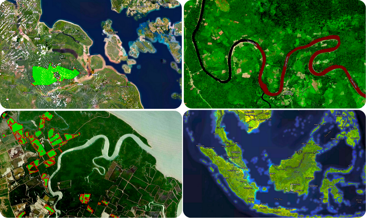
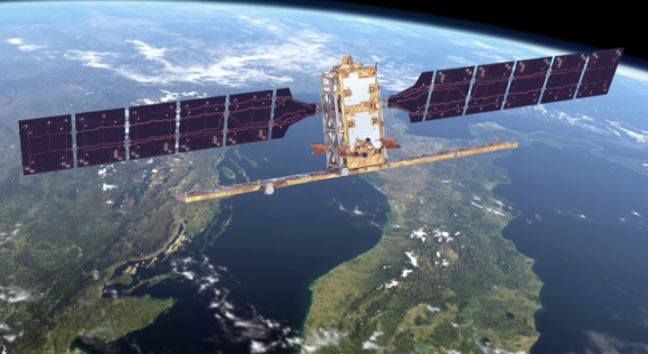
Leveraging satellite intelligence, CarbonEagle integrates Synthetic Aperture Radar (SAR) and optical imagery from Sentinel-1 and Sentinel-2 with machine learning-based Above Ground Biomass (AGB) estimation. This approach enhances carbon credit validation, promotes sustainability, supports ecosystem restoration and helps build resilient communities.
Users and their needs
CarbonEagle is designed for stakeholders involved in forest carbon credit markets, primarily in the context of Reducing Emissions from Deforestation and Forest Degradation (REDD+) initiatives.
The platform serves a diverse range of users, including:
-
Carbon project developers: CarbonEagle equips them with advanced tools to assess forest carbon potential, enabling accurate valuations and trustworthy project assessments.
-
Investors and financial institutions: With a strong emphasis on transparency and data integrity, CarbonEagle offers critical insights to assess risk and identify investment opportunities in nature-based solutions.
-
Governments and regulatory bodies: CarbonEagle supports national and subnational efforts to monitor REDD+ projects, evaluate forest health, and manage carbon markets effectively.
-
Carbon credit buyers and sellers: CarbonEagle streamlines access to credible, data-backed carbon markets, fostering trust and efficiency in transactions.
Service/ system concept
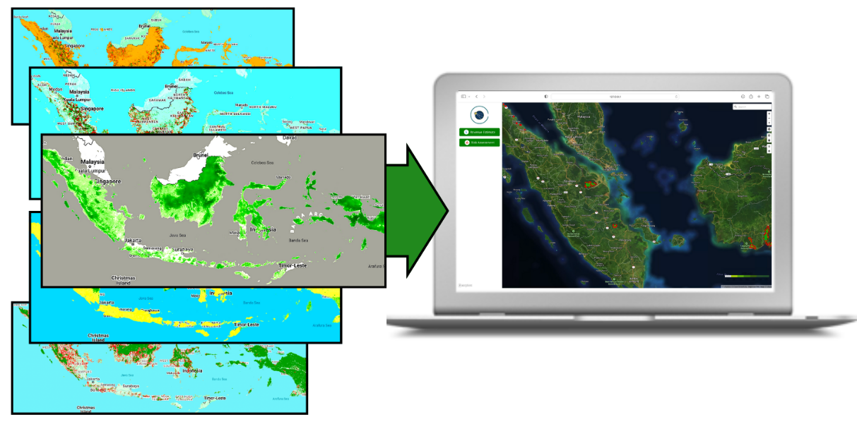
CabonEagle offers a powerful web-based application that enables users to monitor forest-based carbon credit projects with precision and confidence. Built on satellite data and artificial intelligence, the platform delivers data-driven insights through an intuitive and feature-rich interface.
Key features include interactive maps, polygon selection, customizable economic parameters, and precise investible carbon estimates.
The application also boasts user-friendly UI, scalable architecture, and automation capabilities.
Space Added Value
Space assets such as Sentinel-1, Sentinel-2, GEDI LiDAR, Landsat, and ESA CCI Biomass data are used for forest and carbon monitoring by providing high-resolution and scalable datasets.
Sentinel-1’s radar imaging delivers all-weather, day-and-night capabilities, making it useful for monitoring forest cover and detecting changes like deforestation. ESA CCI Biomass data is used for estimating biomass across large regions. GEDI LiDAR provides precise data for estimating above-ground biomass and address limitations such as data saturation. These space assets enable higher-resolution (100m) AGB mapping, enhancing the accuracy of carbon assessments.
Compared to traditional methods, space-based monitoring offers a more cost-effective, scalable, and near-real-time solution. Existing competitors that use satellite data may lack integration with high-accuracy models and advanced machine-learning models. The integration of machine learning and cloud computing further enables automated, consistent, and accurate forest monitoring.
Current Status
The Kick-start activity is completed. It demonstrated the technical viability and market potential of CarbonEagle, a cloud-based, satellite-powered digital MRV platform supporting transparency, scalability, and accountability in the carbon-credit market.
A proof-of-concept (POC) platform was developed for Indonesia, and a full system and service architecture was designed to underpin ongoing product development and scaling.
By bridging the gap between biophysical data and financial valuation, CarbonEagle offers a practical solution for accelerating investment in high-integrity nature-based solutions while supporting informed decision-making in forest carbon markets.
Prime Contractor(s)