
 “What has space got to do with agriculture?” – a commonly-asked question, according to Rita Rinaldo, Head of Applications Projects and Studies Division at ESA, speaking in London this week as part of the World Agri-Tech Innovation Summit. In her speech to conference, Ms Rinaldo went on to outline how geospatial data is already playing a vital role in providing innovative and sustainable solutions for farmers, in a sector increasingly vulnerable to the impacts of climate change and supply chain disruption, and facing the demands of rapidly growing populations.
For ESA’s Business Applications and Space Solutions (BASS) programme, the agriculture sector has been a significant area of development for over ten years. With more than 200M EUR invested to date in almost 250 different projects, space technology in agriculture is already having a real impact on the sector. As part of ESA’s mission to demystify the use of geospatial data and satellite technologies in support of the agriculture sector, the BASS programme launched its new Agriculture Dossier this week, detailing the investment in the sector so far, showcasing successful initiatives and outlining its strategic priorities for the future.
Amongst its many applications, imagery from Earth observation satellites (satEO) is helping assess crop and forest health, monitor water quality and levels, and predict the risk of extreme weather events. Satellite communications (satcom) is particularly beneficial in connecting remote locations, enabling producers and farmers to access market prices and weather forecasts. Satellite navigation systems (satnav) also have an important role to play, enhancing traceability and transparency in the supply chain and - through the use of GPS collars and IoT sensors - helping monitor livestock health, location and behaviour.
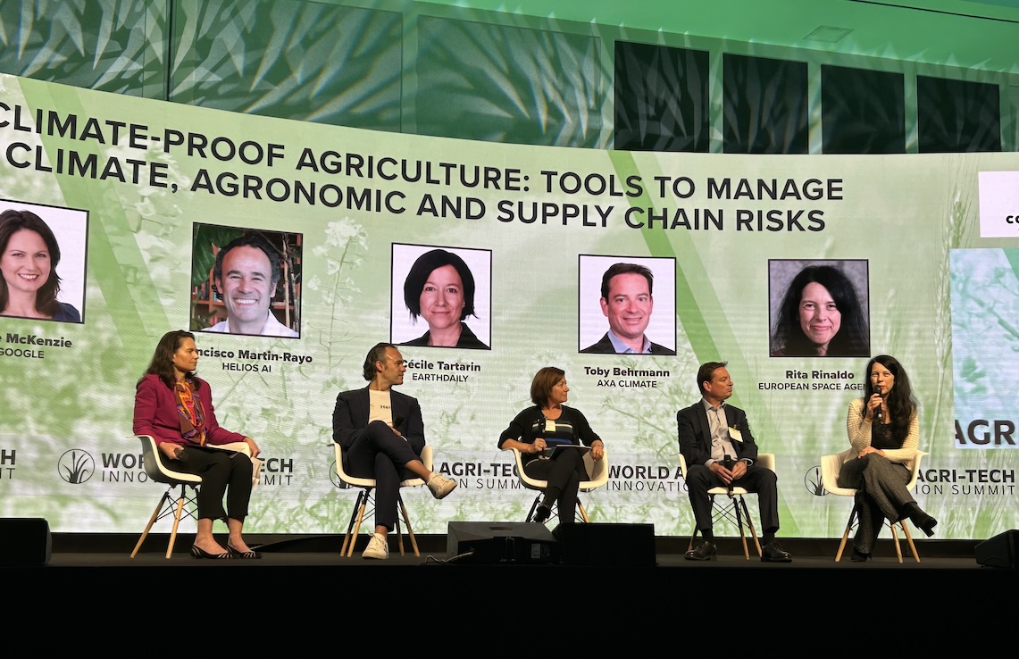
Speaking as part of the "Climate-Proof Agriculture: Tools to Manage Climate, Agronomic and Supply” panel at the London event, Ms Rinaldo explained how two key priorities are emerging in ESA’s discussions with industry and partners. The first concerns the challenges presented by unpredictable and disruptive climate events, in particular changes in precipitation levels and patterns resulting from climate change. These changes are affecting yields and margins for farmers and are having an impact on food price inflation around the world. The second relates to more progressive and incremental shifts resulting from changing climate patterns, which also have an impact on production and supply, but which can be predicted.
In both instances, access to multiple geospatial data points is key. Companies across Europe are working with ESA BASS to develop a range of platforms and systems which use this data to create relevant and usable interfaces for farmers, helping to mitigate these key challenges.
Ms Rinaldo has noticed another change in the way satellite data is being used in the sector. “Historically, we have seen geospatial data used to support precision agriculture, focusing on increasing yields, and reducing water and fertiliser use. Increasingly, these technologies are now being applied to support a more regenerative approach to agriculture, with farmers and growers keen to increase the value of the land over a longer period, focusing on soil health, circularity and sustainable practices.”
With the challenges facing farmers varying significantly from one geographical and production area to another, working in collaboration with specialist partners is key – which is where ESA’s Bioeconomy Task Force comes in. Established in 2024, it supports dialogue among key sector stakeholders to inform priority topics, where dedicated support actions are initiated. In addition, it helps to raise awareness of available space solutions that are not only commercially viable but also environmentally sustainable, mitigating some of the worst effects of climate change on agriculture and ensuring secure food supplies for growing populations in the future.