After three years in development and a successful demonstration project supported by the European Space Agency, SoilEssentials Ltd and Deimos Space UK released KORE, a new cloud-based land management platform at the end of 2017. A new generation of precision farming service, it combines many monitoring means (including satellite) and agronomic tools and yet affordable and simple to use.
Primarily used by agronomists and farming companies, KORE allows the modernisation of practices for effective management of land use, including: yield and crop sensors, disease models and growth models.
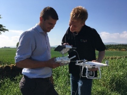
Combining multisensor satellites including ESA’s Sentinel Satellites, UAV imagery, tractor-mounted sensors KORE guarantees the availability of data regardless of weather and cloud conditions.
Customers have commented on the ‘perfect layout’ of the system and how easy-to-use it is once the basic principles are understood.
One KORE customer said “I help manage multiple farms and a simple check in to KORE first thing in the morning keeps me informed of the status of all the crops under my care”.

Jim Wilson, Managing Director of SoilEssentials explains, “Our aim with KORE was to create a unique white box web platform for agronomists to rebrand and tailor to their, and their customers’ own needs. We also wanted to dramatically improve the reliability and usability of remote-sensed imagery and we have achieved that with the seamless integration of multiple providers of satellite imagery, UAV images and tractor mounted sensors”.
Michael Lawrence, Business Development Director of Deimos Space UK Ltd said “Our experience in managing and processing large volumes of EO data has enabled us to combine EO data and UAV data to feed the analytic tools in KORE”.


