
Satellite data is increasingly being used in agriculture for precision farming, enabling crop health monitoring and informing more accurate decisions in a variety of areas including watering, the application of fertilisers and pesticides, and many others.
In Portugal, with its Aquafarm project, Hidromod is targeting another vital aspect of farming: the validation of subsidies claimed through the European Union’s Common Agricultural Policy (CAP), and efficient water management, with support from ESA through a Business Applications Kick-Start study and follow-on Demonstration Project.
Satellite data can play a significant role in helping farmers grow better crops and optimise harvesting. In a country such as Portugal, where a significant proportion of the land is used for agriculture, external competition at cheaper prices hasn’t persuaded buyers to abandon local produce. Nevertheless, CAP subsidies are still vital for farmers. Ensuring that the subsidies are going to the right place is a major challenge for Portugal’s Institute of Finance for Agriculture and Fish (IFAP).
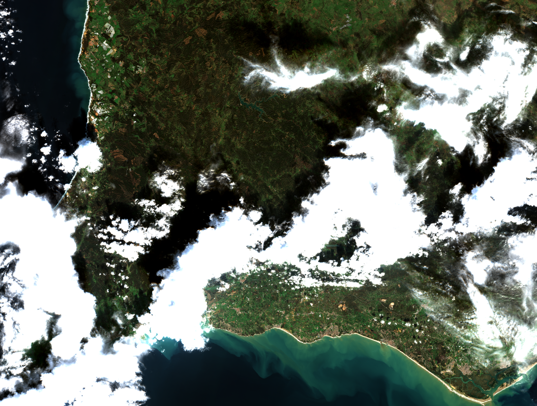
Hidromod is tackling this issue with its Aquafarm project, which uses Sentinel-2 satellite optical data and Landsat 8 data to provide remote crop monitoring. In the context of its Business Applications programme, ESA initially supported Hidromod to develop the service through a Kick-Start activity which was then followed by the Aquafarm 2.0 Demonstration project, due to be completed in 2023. However, the project has been so successful that in June 2021 IFAP already signed a 2-year contract with Hidromod for the service.
According to Rita Rinaldo, head of project and studies implementation at ESA “The Aquafarm 2.0 journey from study to project to commercial service highlights one of ESA Business Applications and Space Solutions’ strengths: to support companies from an early application concept to operating as a viable service”.
Verifying CAP payments
Through the CAP policy, farmers receive direct payments to support them in the way they manage their farms for the benefit of the wider population, for example in work done to protect the environment. CAP payments also provide additional support to regions where conditions are difficult and to help young people take up farming.
There is an increasing emphasis on technological innovation, digitisation and research and development designed to encourage positive environmental changes. Farmers taking this approach can access additional financing because, under the revised CAP policy, the amount they receive will depend not only on the size of the area they farm, but also on the farm’s impact on the environment and/or climate.
In Portugal, IFAP controls the CAP payments. Its mission is to validate and fund the implementation of national and EU measures in agriculture, rural development, fisheries and related sectors. However, it is impossible to physically inspect every farm across the country to check whether the crops declared by farmers are the ones actually being grown.
Not only can this lead to subsidies being wrongly attributed, but if discovered, can result in compulsory refunds of subsidies back to the EU. IFAP therefore wanted to use a system that would help it distinguish between agricultural and non-agricultural land, and then identify the individual ‘parcels’ of agricultural land – around 4 million parcels across Portugal – and the crops being grown on each one.
As explained by vice-president of IFAP, Nuno Moreira, the processing of Copernicus Sentinel satellite images has allowed the monitoring and identification of crops and the validation of individual claims for agriculture funds, with obvious advantages in the quantity and quality of control, as well as knowledge of the agriculture being carried out and support for the definition of agriculture policies.
Providing support to farmers in efficient water management
But Aquafarm 2.0 is used for much more than verifying CAP payments. Aquafarm 2.0 integrates data from satellites with meteorological models and measurements as well as plant growth models to provide results about plants and soil. The platform is connected to in situ data and ‘learns’ using historical data in order to increase the accuracy of its forecasts of crop development and water use. In particular, it detects the crop type and is able to predict when and where water is and will be consumed by plants. These type of predictions help farmers and water managers to ensure that there is a more efficient and sustainable use of water in agriculture.
Aquafarm’s features also make it attractive for farmers, enabling them to maximise production by proactively addressing any identified stress factors in their crops. As part of the Demonstration Project, Hidromod is working with two companies that provide such services to farmers – Wisecrop and EDIA – to address this market.
Pedro Chambel Leitão, Aquafarm project manager, said “What truly impressed me in regards to the collaboration with ESA is that it was not only about selling satellite images. It was addressing the world's agricultural challenges together and adjusting and shaping where the satellite images can and can’t be used in order to achieve Aquafarm’s ambition to support crop and efficient water management.”
Rita Rinaldo added: “Water resources are heavily impacted by climate change and water-related challenges are one of the priorities of the COP27 agenda. Water is at the heart of climate adaptation and resilience. At the same time, water security is a necessary element of food security and soil protection. We are working alongside Hidromod and partners to introduce innovative measures in support of new practices for water management in the agri-food sector, leveraging on integrated space solutions.”