Objectives of the service

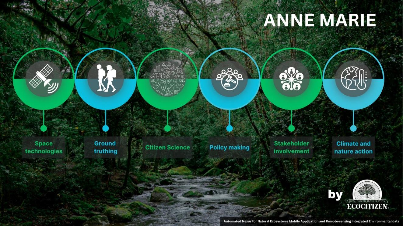
ANNE-MARIE: Automated Nexus for Natural Ecosystems Mobile Application and Remote-sensing Integrated Environmental data.
A service that delivers enhanced environmental monitoring via a mobile application and platform for gathering and displaying a wider set of ecosystem-related data. The first ecosystems in focus are forests and the chosen parameters include information related to the qualities of trees and their relationship and its effect with the environment that surrounds them. The platform aggregates data obtained from existing sources and silos - as well as from the mobile application - allowing visualisation for more accurate insights, verification by comparing multiple data sets, as well as dataset improvement through identification of data gaps. ANNE-MARIE is innovative because it addresses a known gap in lengthy and expensive field surveys by allowing a broader user base to support and strengthen data collection, by asking them to collect relevant data through an application design based on gamification.
This study focused on informing the design of the application as well as the platform as an iterative process, involving groups of end-users in technical co-creation workshops, as well as institutions, and a wider group of stakeholders, promoting engagement, communication and education in three pillars: science, space, and sustainability.
Users and their needs
Countries of targeted users: Luxembourg & Costa Rica
-
Forest practitioners, owners, and investors in both Public and Private sector.
-
More accurate and automated forest surveying and monitoring.
-
Spatially explicit and detailed information on forest composition, nature conservation and assessment of ecosystem services.
-
Translation of data into insights to respond to societal, investor, and market demands.
-
-
Entities subject to sustainability and ESG reporting legal obligations (e.g. EU CSRD, CSDDD, EUDR).
-
Ongoing and periodic access to accurate, audit-ready data on environmental and social risks, and impacts, of entity assets and facility locations, but also of those in the broader and international value chain.
-
-
Carbon, biodiversity, natural asset valuations and credit market actors.
-
Up-to-date data on ecosystem health, status, restoration or regeneration potential, and related projections.
-
Science-based transparency and traceability, more data with more accuracy to underpin market mechanisms.
-
Accurate and timely data to monitor the impacts of investments, effectiveness of conservation efforts, and data-driven, more informed decision-making.
-
-
National statistical and accounting administrations
-
Preparation for updates to the System of National Accounts (SNA) to go “beyond GDP” towards a broader set of macroeconomic indicators including more emphasis on social, health, etc.
-
Availability of more accurate data, with more frequency, on environmental stocks and flows relative to ecosystems and their relationships with the economy.
-
Accurate, timely and cost-efficient datasets which can facilitate evidence-based policy formulation and evaluation.
-
Service/ system concept
ANNE-MARIE brings together data from different sources such as satellite imagery, drone videos, bioacoustics and combines it with data provided by users of the mobile application which is evaluated and checked for its accuracy and pertinence. The application aims to be friendly to different types of users, so that everyone, regardless of their profession, age, gender or other factors can participate in data collection but also understand and make use of the GIS (Geographical Information System) data visualization outputs such as in a map format. ANNE-MARIE intends to be valuable and useful not only for government and business decision-makers, but also for children learning about ecosystems in schools as well as researchers, NGOs, and citizens in society.
ANNE-MARIE will collect and present data on ecosystems in a more useful manner. In the case of forests, it will present information concerning tree species, size, and age, as well as information concerning the status of the surrounding ecosystem such as nearby water quality, presence of fauna, signs of pollution, native, non-native, and urban, biodiversity, etc. The innovative method of data presentation will aid in data verification via comparison of multiple data sets and identification of data gaps, prompting furthermore to complement existing data.
Space Added Value
Satellite imagery provided via the Copernicus Land Monitoring Service and the systematic monitoring of biophysical parameters produced at a global scale every ten days are major assets ANNE-MARIE, as well as complementary data available from other private EO actors.
Current ecosystem monitoring depends on collecting relevant parameters using a combination of remote sensing and expert fieldwork which is expensive and lengthy, as well as difficult to analyse seasonal differences or specific events. Even with the improving quality of satellite data, there is still a need to collect field data below the canopy. Competitors propose technological solutions to this primarily via improved remote sensing data and increased integration of data sets from different sources. ANNE-MARIE also proposes to combine data from space assets and from other sources (LiDAR database of Luxembourg’s national supplier of geographic data, sensors mounted on aircraft and drones, bioacoustics, camera traps) but with the emphasis on the citizen science mobile app to scale up data collection and fill gaps. ANNE-MARIE offers added value not only in the increased accuracy of ecosystem data for current and future needs, but also in a broader multidimensional dataset which responds to demands and wishes of a wider group of stakeholders.
Current Status
The ANNE-MARIE project is advancing well, with progress in service co-creation, technical R&D, and business model. Three stakeholder workshops were held: two in Luxembourg with 63 high school students and one at the United Nations Biodiversity Summit UN CBD COP16 in Colombia, engaging trainee engineers from Costa Rica. These sessions identified user needs, including gamified features, audiovisual elements, real-time data capabilities, and the importance of intuitive UI and robust in-built training modules.
The platform’s architecture integrates GIS layers with gamified citizen science for advanced ecosystem monitoring. Current activities focus on refining the UX/UI design, integrating remote and ground-truthed data, and developing prototypes. Upcoming milestones include beta app deployment in pilot schools, indicator validation with stakeholders in Luxembourg and Costa Rica, and a pilot study involving sensor deployment in a Costa Rican Conservation Area, in collaboration with a public university. This ensures user-centered development and reliable environmental monitoring outcomes.


