Objectives of the service
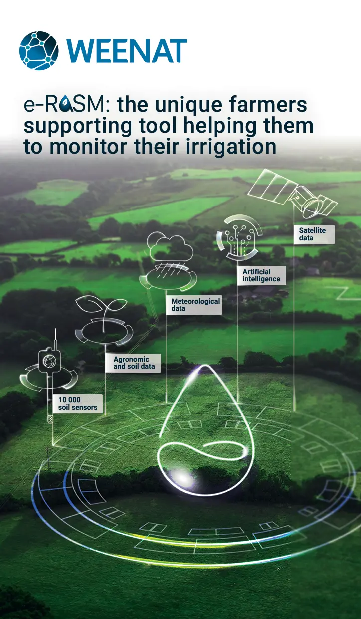
The e-RASM project aims to create an irrigation monitoring solution to farmers. Weenat, a company specialised in agro-meteorology, spatialised weather and irrigation management tools, is using the benefits of satellite remote sensing to create an innovative solution gathering a multitude of data sources into our proprietary Artificial Intelligence soil model in order to build a scalable, simple and affordable soil water content status for all crop and soil types. With e-RASM, farmers are more efficient in their daily irrigation decisions leading to a better usage of the water resource, decreasing operational costs at farm level and workload. In the context of climate change and growing population, e-RASM is helping farmers maintaining their yield under climatic uncertainty while reducing their impact on the environment.
Users and their needs
The e-RASM tool is addressing multiple users in EU: farmers, cooperatives, agro-industrials and public authorities.
Service/ system concept
e-RASM is a decision support tool (DST) providing daily the soil water content of the farmers’ fields and a 7-day forecast to help customers to manage their irrigations. This DST is 100% digital as no soil sensors are required and aims to be available for the main European crops and soil types. The tool is available on the Weenat application or via API.
Space Added Value
Most of the competitors’ solutions for optimizing irrigation are based on: i) satellite/weather data without any soil sensors calibration ; ii) water balance models that are difficult to calibrate. We have about 25k soil sensors deployed in Europe that are used in combination with satellite data and our own spatialised weather observation model to develop a powerful and well-calibrated tool to calculate the soil water content of each plot everywhere in Europe. The contribution of satellite data enables the extension of our services to countries where the networks are less efficient and at a lower cost. In addition, satellite indicators (soil moisture, soil temperature, vegetation indexes) help us to extend our knowledge of the state of water stress in farmers' plots.
Current Status
The Soil Water Content model, giving a daily prediction based on the soil, the previous weather conditions, and the satellite imagery, is available via API.
The product’s name is Soil Vision.

The corresponding features in app are currently being developed.
Available only in pre-production mode, it will be accessible for test among the pilot farms.
Below, the display shows historical values to observe the evolution of the soil water content from the beginning of the year 2026. Users can choose to display the phenological stages of their crops to identifies possible hydric stress at critical stages.