Objectives of the service
With the rise of digital tools that can effectively alter imagery or make up images to a degree where we cannot tell whether it is real or not, having a way to verify the source and integrity of an image will become an increasingly important step in the way we deal with data.
The HeManEO project aims to transform Earth Observation (EO) data into a reliable product for diverse business clients, ensuring trustworthiness and compliance with auditing and legal standards. It targets organizations in big corporations, financial sectors, and risk management, addressing evolving environmental, social, and governance (ESG) regulations. Leveraging in-house algorithms and apps like FloodSENS, the project integrates with the Digital Authentication and Traceability Services engine (DATS) to provide End-to-end authentication, ensuring data security, compliance, immutability, and nonrepudiation, and offering unprecedented value to EO data.
Users and their needs
Target customer segments are companies using analytical data applications around health improvement, risk assessment, disaster prevention, ESG measurement & reporting. They benefit from authentication of data and sources either as they require authentication by regulation, or to enhance public perception and trust in contributing to the achievement of e.g., the United Nations (UN) SDGs.
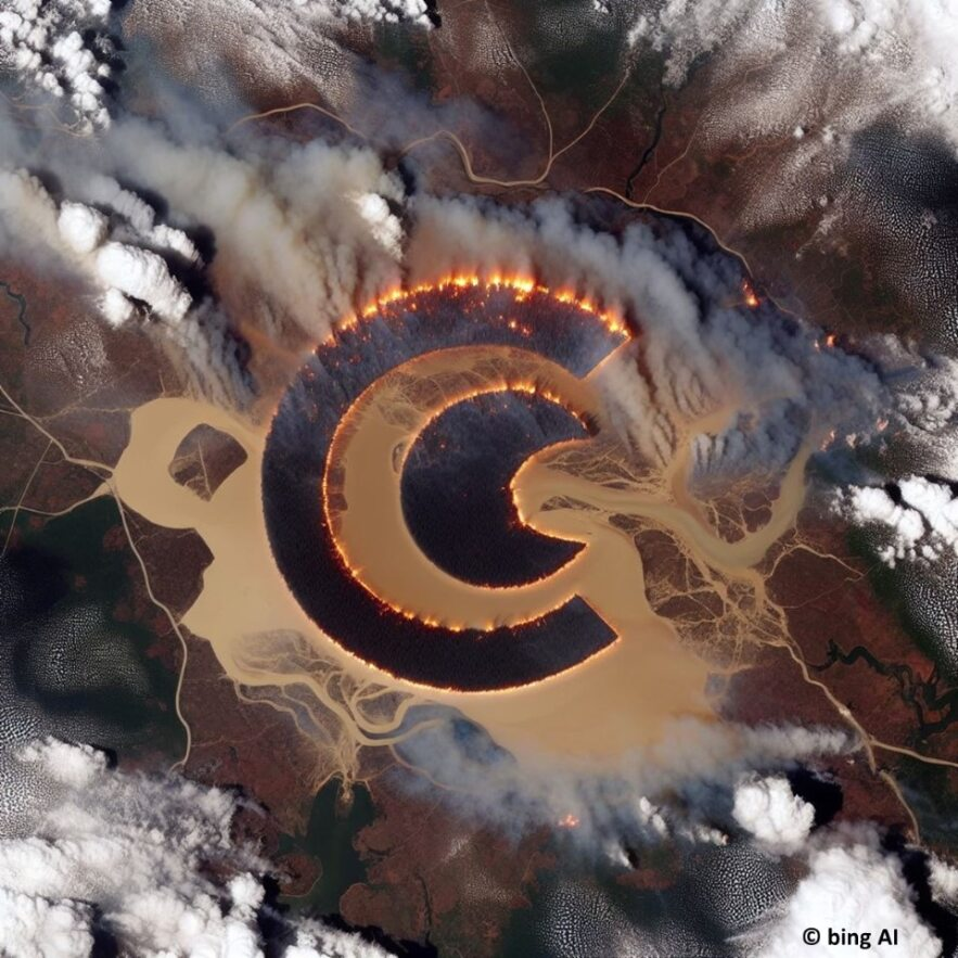
One such example is the re-insurance sector. Our partner WTW (UK) is already using EO as innovation accelerator in some of their portfolio solutions, for example in the case of floods and wildfires. However, they often find EO-apps are hard to trust, especially when based on free and low-resolution data, and therefore difficult to be regulatory compliant. Instead, they would like to use authenticated, trustworthy applications from EO, where authentication is both technically as well as legally compliant.
Service/ system concept

The HeManEO architecture comprises three interconnected technical blocks. Block 1, managed by RSS-Hydro, extracts flood and fire data from Sentinel mission EO data via ML algorithms on a cloud platform, producing GIS map layers. These layers are integrated into Block 2's Digital Authentication and Traceability System (DATS), generating JSON or XML files. Block 3 integrates theses files into a legal frameworks and ESG compliance. The final output is a GIS map product with authenticated data and process history, aligning with legal frameworks and ESG requirements, enhancing customer value. Existing EO apps by RSS-Hydro will be streamlined and integrated into HeManEO, tested against customer KPIs, and linked to DATS, legal, and ESG compliance frameworks.
Space Added Value
The Space technology and assets used for HeManEO are listed below:
-
S-2: Provides flood maps for climate change hazard prediction in an existing app (FloodSENS)
Our EO app, FloodSENS is still in the commercial development phase using the feedback of customers-to-be, where the HeManEO-developed authentication workflow will implement a very significant value-added feature that will substantially in further differentiating and valuing our products and distinguishing them from currently available solutions in the market.
Current Status
We have finished the main development phase in collaboration with our partners and stakeholders, and are now entering a commercialisation stage where we will start the roll-out of the solution offering together our other products.
Prime Contractor(s)