
Objectives of the service
HeraSpace IUU supports the identification of potential Illegal, Unreported and Unregulated fishing activities.
By combining Copernicus satellite data and multi-mission Copernicus Marine Environmental Monitoring System (CMEMS) data products with vessel positioning data, regulatory data and actual fishing data, the identification of illegal and unregulated fishing activities can be drastically improved.
Unsustainable fishing, both legal and illegal, is the largest current threat to ocean biodiversity. HeraSpace IUU supports existing and proposed management practices by backtracking the origin of the fish and checking veracity of declared catch labelling.
Users and their needs
The users/customers segments targeted are:
• National, and EU Fishing Control Agencies
• Fishing Trade Unions
• NGO's
• Fishing Processors
• Regional Management Fisheries Organizations
• Fisheries Monitoring Centers
All of them are important as users, in fact HeraSpace IUU will potentially target the entire value chain of the fishing industry.
These customers are willing to pay for a reliable service that checks the labelling of the seafood, backtracking the realistic origin, dates, fish species and characteristics declared by the producer in the labelling of the catch.
It is needed to mention the importance of the involvement and the commitment of leading fishing research centers in the development of HeraSpace IUU.
Service/ system concept
HeraSpace IUU service is based on the concepts of scalability, modularity and reusability of related existing standards, following the principles;
- Ease of addition for new components.
- Decoupled
- Scalable
- Polyglot
- Open for modification
- Cloud first approach
- Microservices
- Strive for more serverless
- Cost efficient
- High availability
The core technologies identified are Marine Copernicus data, Fisheries Language Universal Exchange (FLUX)., the Blockchain Algorithm (Algorand) and machine learning algorithms hosted in a serverless Cloud (AWS).
The system concept comprises two main core modules:
- Module Fishing Activities
- Module Vessel Positioning
Module Fishing Activities
The Fishing Activities module provides the HeraSpace IUU service with the fishing indicators that are key to build correlations with marine physical indicators like water temperature in order to allow the system to perform a checking against the fishing activities reported by the fishing vessel.
Module Vessel Positioning
The system needs apart of the fishing activities information, vessel positioning data coordinates, these ones should be sent up every 4 hours from the vessel to a Land-based Fishing Monitoring Center, the variables transmitted within the VMS message are the vessel id and name, date and time, longitude and latitude, speed and coordinates of the vessel and if any transhipment was done (it means when a vessel unload catch into another vessel in open waters).
Space Added Value
HeraSpace IUU main Earth Observation data is the Copernicus Marine Environmental Monitoring System that provides us regional and global marine data, physical satellite indicators like temperature, ocean colour, altimetry or currents. Such data are necessary to build correlations with biological indicators of the fish species with the final aim to determine the likelihood that the declared information in the catch labelling match the realistic back tracked conditions for fish presence.
Current Status
HeraSpace IUU has been concluded and a MVP has been developed, interested and tested with the support of key players.
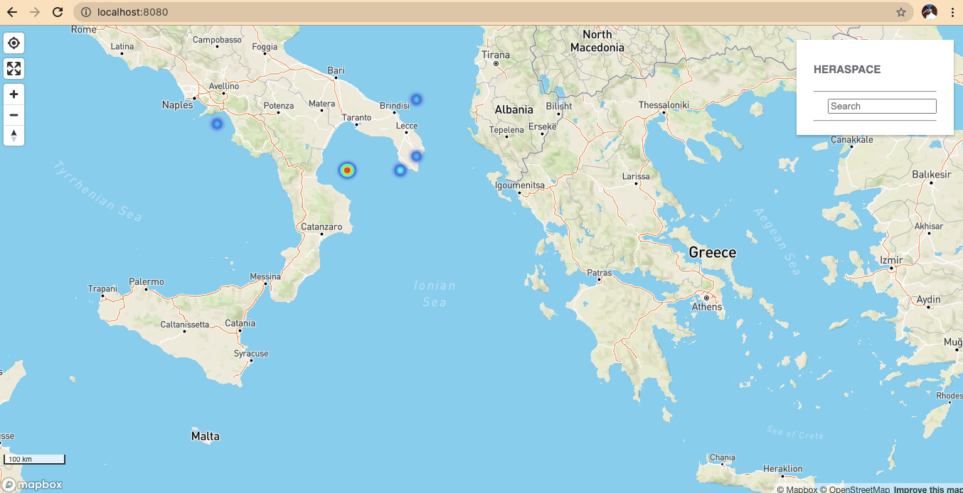
HeraSpace IUU user Interface map
The team is working on the development of a prototype and it is discussing the further steps with the partners.