Objectives of the service
Our objective is to provide farmers with the resources to better manage their irrigation practices, in terms of volume, location and frequency. We want farmers to use less water, more efficiently and see even greater yields and crop quality.
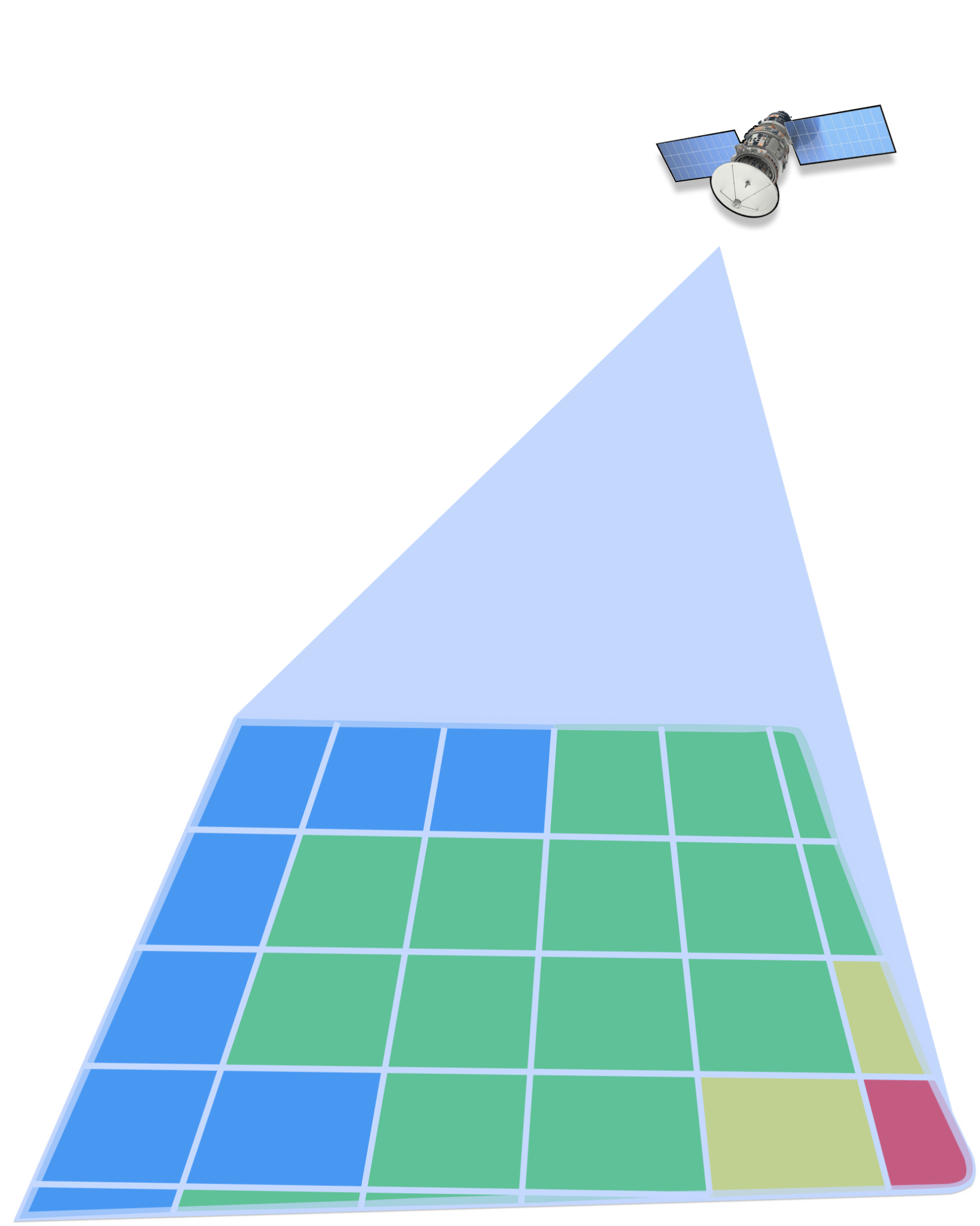
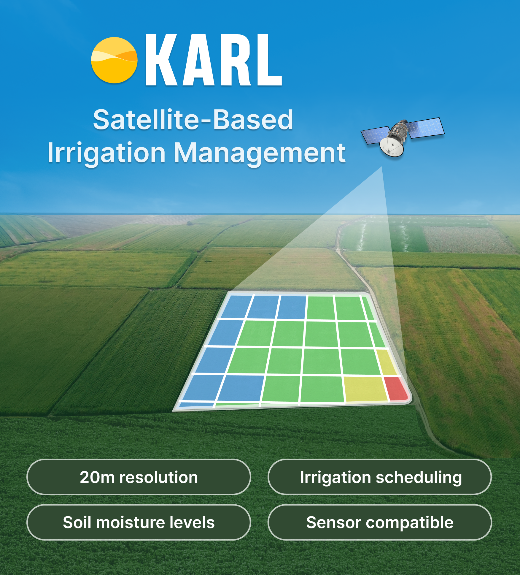
KARL’s Scheduler feature is an online web platform that allows farmers to track daily estimates of the soil moisture levels on their field at a 20m resolution. We are also partnering with soil sensor companies in order to calibrate our data with on-field soil moisture values. The goal is to provide farmers a complete view of their irrigation needs with as few sensors as possible, reducing the upfront costs of implementing a smart irrigation farming strategy on their farm. Our data can then be used to generate Variable Rate Irrigation maps which can be used to optimally program irrigation machinery, ensuring irrigations are performed at the right time, in the right location and with the least amount of water required to ensure a healthy crop.
Users and their needs
Our users are farmers who irrigate their fields, and their needs are straightforward. They want to know, When, Where and How Much to irrigate. Most farmers who irrigate are still not using soil sensors to determine and track soil moisture levels on their farm. Their irrigation timing and volume is primarily determined by their experience and knowledge of their farm. While this approach does work, it often leads to the inefficient use of a growingly scarce resource, water.
The major challenge in implementing a new agricultural technology is user adoption, even if the benefits are clear. Farmers are often comfortable with their current irrigation practices, requiring any new tool to be easily compatible with their current habits. Our solution to this is partnering with soil sensor companies, in order to provide satellite-based soil moisture estimates calibrated with the farmers on field values. This allows us to directly target farmers already actively managing their farm’s irrigation needs. We also intend on developing Variable Rate Irrigation maps that are compatible with existing irrigation machinery, allowing farmers to benefit from KARL’s irrigation recommendations without needing to do a deep dive into the data we are providing.
Service/ system concept
KARL Scheduler provides farmers with the recommended irrigation timing and volume for every 20m of their farm. We provide daily evapotranspiration volumes (how much water is being evaporated from their fields), along with derived soil moisture levels, and irrigation recommendations based on their specific soil type and crop.
Through our data provider, DHI, we obtain evapotranspiration rates for a farmer's field. These values, along with precipitation and irrigation levels, allow us to track the water balance for the field, and allows us to derive both soil moisture estimates, along with irrigation recommendations.
Given some of the limitations in a strictly satellite based approach to tracking soil moisture, we are working on calibrating these estimates with on-field data, and generating Variable Rate Irrigation maps that can directly feed into the irrigational management software controlling their irrigation machinery. This implementation would allow for a seamless implementation of our solution, without even requiring farmers to interpret the information themselves.
Space Added Value
We obtain daily evapotranspiration estimates from DHI, who use both Sentinel 2 and Sentinel 3 satellites. Harnessing the power of Sentinel 3’s revisit frequency, with the resolution provided by sentinel 2, under cloud free conditions, daily updated evapotranspiration (ET) values can be obtained at a 20m resolution. With daily ET estimates, the water balance of the soil can be tracked through the season, allowing for an accurate estimate of both soil moisture values, and irrigation needs for regions of the field. This is a different approach to the radar based method, which isn’t limited by cloud coverage, however only estimates soil moisture in the surface layer of the soil.
The primary method currently used to accurately track soil moisture on fields is with the use of soil sensors. While this method is the most accurate in estimating the moisture level in one specific location, the farmer is left to infer the conditions on the rest of their field. Many farmers also limit their use to only a few sensors on their entire farm, as it is costly to purchase and maintain hardware on a farm.
Current Status
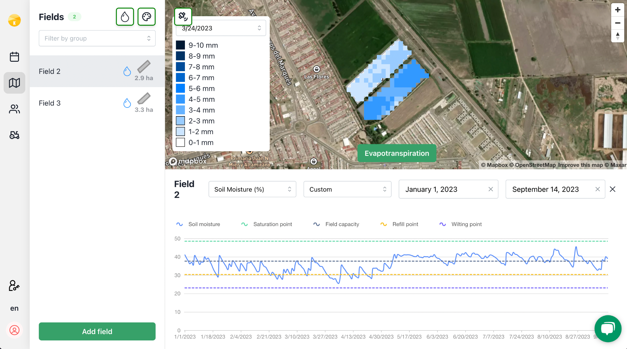
We have completed the implementation of the evapotranspiration and soil moisture maps derived from DHI in our online app for farmers. Farmers can now track these levels for every 20m of their field, with a field level irrigation recommendation based on these values.
We have also developed a model to validate a farmers historical irrigation schedule, showing them how efficient their irrigation practices have been in the past, both in terms of water use efficiency and the effect on their yield.
Our current focus is in working with several soil moisture sensor companies in order to calibrate our soil moisture recommendations to ground truth data. This ensures that the issues related to a satellite based approach to irrigation management, i.e cloud coverage and estimation error, can be mitigated, allowing for reliable estimates that can cover an entire farm, as opposed to simply the areas where a soil moisture probe is placed.
Once calibrated with on-field sensors, we will be able to reliably derive Variable Rate Irrigation maps to be seamlessly integrated into the controllers operating standard irrigation machinery.
We recently exhibited our new feature at Agritechnica with the Danish Pavilion hosted by the Danish Export Association. The incredibly positive response was both an encouraging validation and significant development in terms of new partnerships, primarily with soil sensor companies and irrigation management software.