Objectives of the service
Space-enabled Productivity & Wellbeing leveraging satellites, wearables and AI

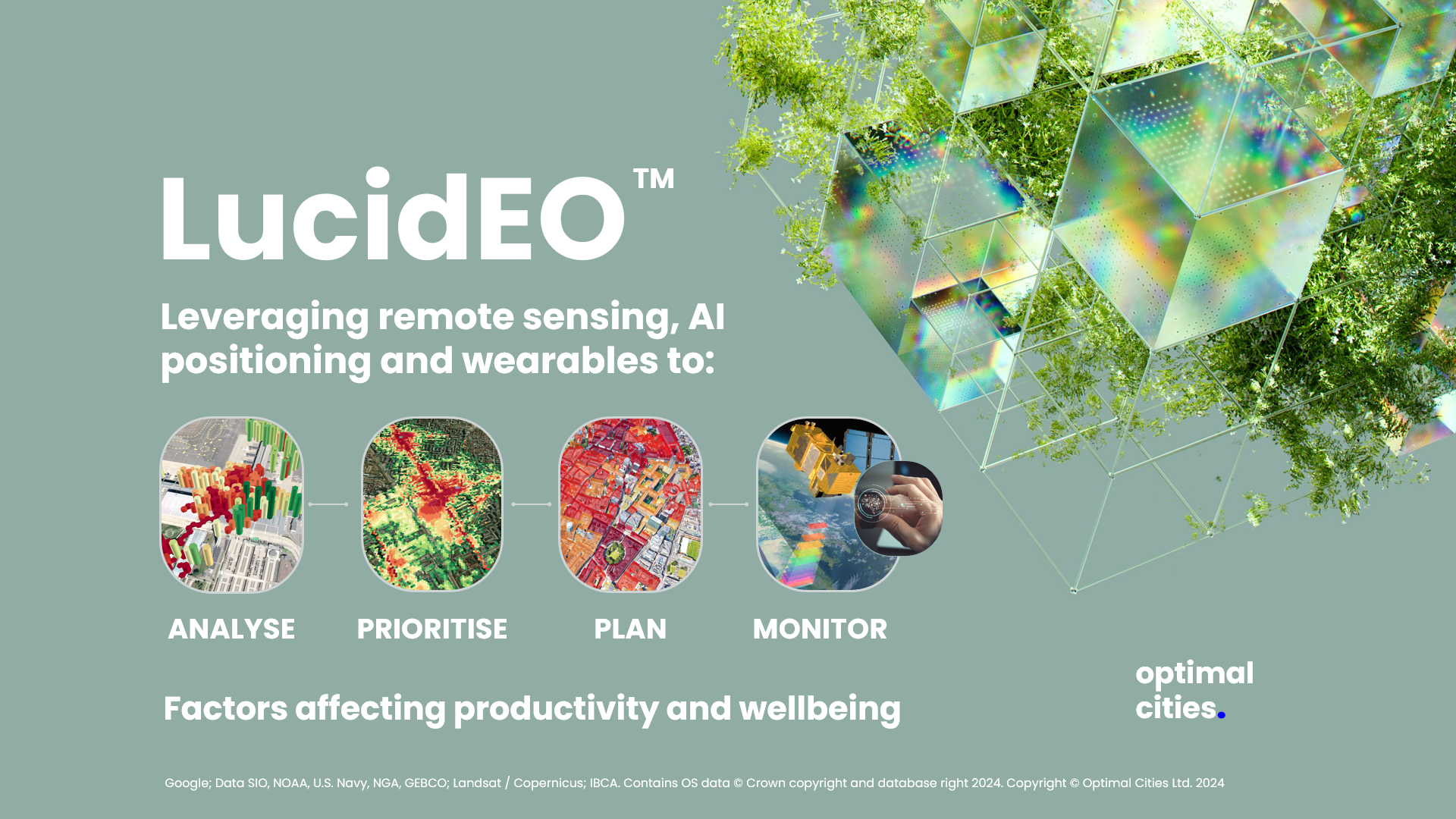
LucidEO aims to humanise urban planning and support geospatial decisions that harmonise human activity, mental and physical health in relation to the workplaces and outside natural and built environments where work is undertaken. LucidEO is a mapping companion responding to the question “is work productivity influenced by environmental factors, human factors or something else?”
This Kick Start had the objectives on establishing the economic and technical viability for:
-
Having a decision support system module optimising work places and urban environments to improve the mental and physical health;
-
Hosting calibrations on the Optimal Cities platform for healthy city policy making, healthy real estate development, healthcare facility management;
-
Integrating various flows of meaningful analytics from satellites, spatial accessibility analysis and sensors.
Users and their needs
The user communities involved in this activity were executives, urban planners and designers, public health specialists, planning authorities, volunteers, Royal Marine veterans, people with disabilities.
Targeted users: Globally, with a focus on UK, EU, Nordics, North America, ASEAN countries, Australia & New Zealand, MENA.
We identified a significant need for trackable evidence to:
-
justify business and urban planning decisions,
-
sense environmental stressors affecting the general or user-defined populations,
-
decide on and monitor spatial interventions to improve productivity and wellbeing.
A recurrent challenge was designing the service and the experience in a way that is compliant with the GDPR and other regulations as well as intuitive for the user, especially when using wearables.
Service/ system concept
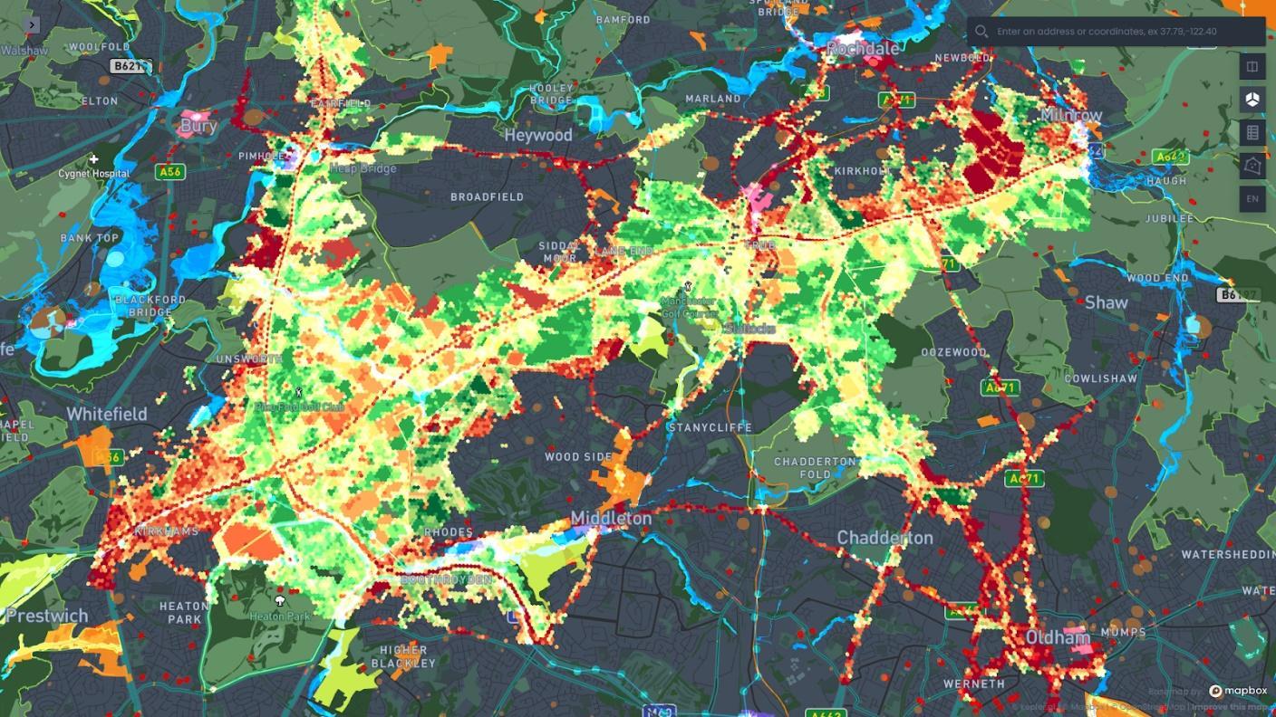
The user is provided with interactive mapping of meaningful geospatial indices relevant to their decision making.
-
For individual users they see when and where their productivity is likely to be affected, and the potential factors associated with indicators predicting stress.
-
For companies, they see when and where environmental stressors are located in and around their buildings / portfolio of managed real estate assets and where their teams are likely to be affected by environmental factors.
-
For local authorities and NGOs, they see when and where environmental stressors associated with health and productivity are located for a large area.
Space Added Value
We leverage Satellite Navigation to localise and collect wearable data, Satellite Earth Observation (multispectral and Synthetic Aperture Radar) to quantify environmental conditions, pollution, health risks and factors influencing performance and wellbeing, and combine the power of the space assets with Optimal Cities’ proprietary GeoAI, GIS modelling and actionable interfacing of geointelligence.
Current Status

During the project, we:
-
Engaged with perspective customer segments and users in order to reach product-market-fit in line with needs to improve productivity and wellbeing from small groups to entire cities and regions,
-
Derisked the technology by defining and testing various architecture configurations, including developing proprietary API, interactive mapping and geospatial analysis tools,
-
Leveraged market research, interviews, presentations and workshops involving over 300 participants to understand what is the added value of our service to our customer segments and sub-segments and assess the costs and economic feasibility of the service,


