
Objectives of the service
Nowadays, users heavily rely on declarative and unreliable data when it comes to crops biomass, whether for a carbon farming project (rewarding climate-friendly practices through carbon credits) or for scope 3 insets.
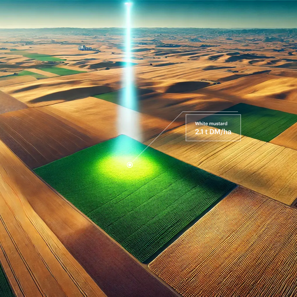
The main lever for improving soil carbon sequestration is to increase the amount of biomass returned by plant cover crops. However, no cost-effective solution was available to quantify this biomass; it is now the case with MyEasyBiomass.
The MyEasyBiomass service aims at bringing more precise data from satellite remote sensing combined with a modelling approach, allowing to have reliable information for a field as well as for a specific wider area (ie: department, district, county…). On top of that, with satellite imagery, the program feeds images to the system regularly, allowing more precise data to be used.
Users and their needs
If you are developing a RegenAg or a Carbon Farming programme, MyEasyBiomass will support you so that you can:
-
Scaling up cover crop biomass measurement
-
Focus on digital data and avoid declarative data in your regenerative or carbon farming project
-
Make your RegenAg indicators more reliable
-
Enable the generation of more reliable tCO2e avoided or removed (carbon credits or supply chain premiums)
-
Reduce penalties under a carbon farming programme for field crops and generate more carbon credits
-
Stand out from the crowd by being able to justify the leverage of increased biomass returned by cover crops.
Countries: Europe
Service/ system concept
With SAFYE-CO2 model available in the MyEasyFarm web application, you can :
-
Quantify the biomass of cover crops before destruction
-
Quantify additional carbon storage thanks to satellite remote sensing
-
Estimating cover crop biomass at any stage, even during cloudy periods
The product is also provided to external services through APIs for a streamline integration. You can access all MyEasyBiomass indicators by directly querying our APIs and integrating these data into your tools.
Space Added Value
The space asset used by MyEasyBiomass is Satellite Earth Observation and in particular: Sentinel-2 optical images to estimate biophysical products (dynamic LAI time series) to calibrate the phenological parameters (e.g. start and end dates of vegetation cycles) and photosynthetic light use efficiency of the SAFYE-CO2 agrometeorological model used to compute at a daily time step the above ground biomass and CO2 fluxes for various crops.
Current Status
As of November 2024, MyEasyFarm has concluded all project activities in partnership with the pilot users. MyEasyBiomass is now a MRV service that can be delivered as part of Regenerative Agriculture projects.
Prime Contractor(s)

Subcontractor(s)