Objectives of the service

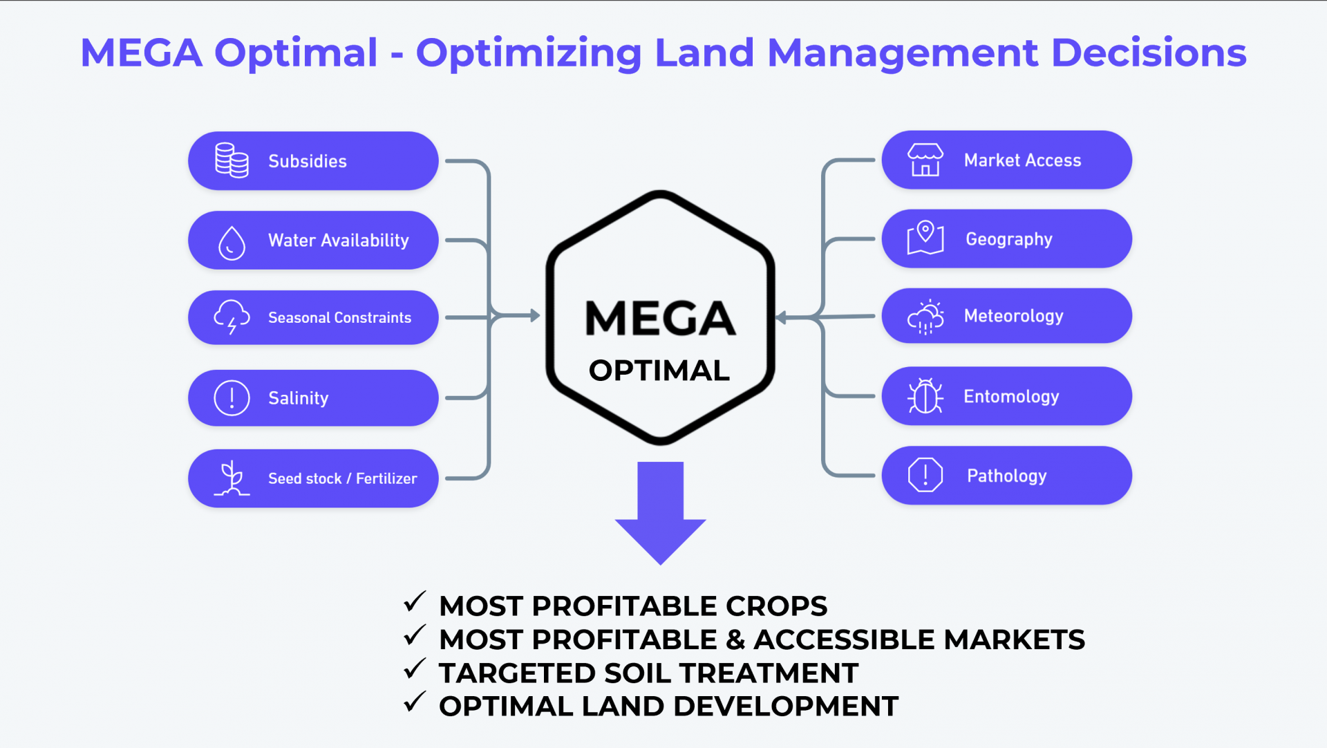
MEGA Optimal uses satellite imagery, market dynamics and artificial intelligence models to advise users what are the most profitable choices for their land and where are the best places to sell their crops.
Users and their needs
Our team engaged with over 60 people from eight countries (United Kingdom, Canada, Denmark, Norway, United Arab Emirates, Romania, Brazil, Azerbaijan) - including farmers, agronomists, local authorities, engineers, mayors, providers of agricultural services and equipment, landscape planners, urban planners, public-private partnerships leaders, ministers, geneticists and members of the Parliament – in order to determine what the farmers, landowners, specialists and local authorities need to make land development and management more profitable and ecologically-regenerative.
The main user needs were related to:
- having access to reliable information about the soil qualities on their land (especially salinity, pH, moisture, expected yield per crop),
- understanding natural and economic risk factors, access to infrastructure and where it is located, crop price per market and accessibility to marketplaces,
- having the data mapped together with clear insights presented in an intuitive and actionable way for non-technical people.
Service/ system concept
The user adds their land on an interactive map by drawing it or recording the boundary using GPS. Once saved, they receive the following optimal recommendations for the most profitable crops and priority areas of treatment and growth:
- Plot profile: illustrating maps and scores of Moisture, Salinity, Plot Health Indices and Vegetation Cover;
- Top profitable crops;
- Priority areas for soil treatment: for recommended or preferred crop;
- Top profitable markets and their location.
Space Added Value
We are using Sentinel satellite data to determine the plot profile in terms of soil conditions and parameters, as well as vegetation health and treatment requirements. By combining satellite data provided through API with AI modelling, we provide faster, frequent and reliable advice on what are the most profitable crops and where they can be sold.
Current Status
Our team engaged with a wide a variety of potential end-users and customers keen to use the solution for crop selection, monitoring, targeted treatment and improvement of profitability.
We have personally collected in-situ data in arid areas in Romania using high precision sensors to explore correlations of salinity values between different depths as well as correlations with satellite imagery bands.
In order to identify the most accessible markets, we have developed GeoAI models in Romania, Spain and the UK that are faster, cheaper and more meaningful for the user when deciding where to sell their crop, compared to the traditional geospatial routing aproaches.
We developed and tested over 10 interactive web apps to develop an intuitive and actionable service that can be understood by anyone – by integrating cloudless satellite imagery, plot health indices and content management systems to draw the land securely and record attributes relevant for the crop and market selection.


