Objectives of the service

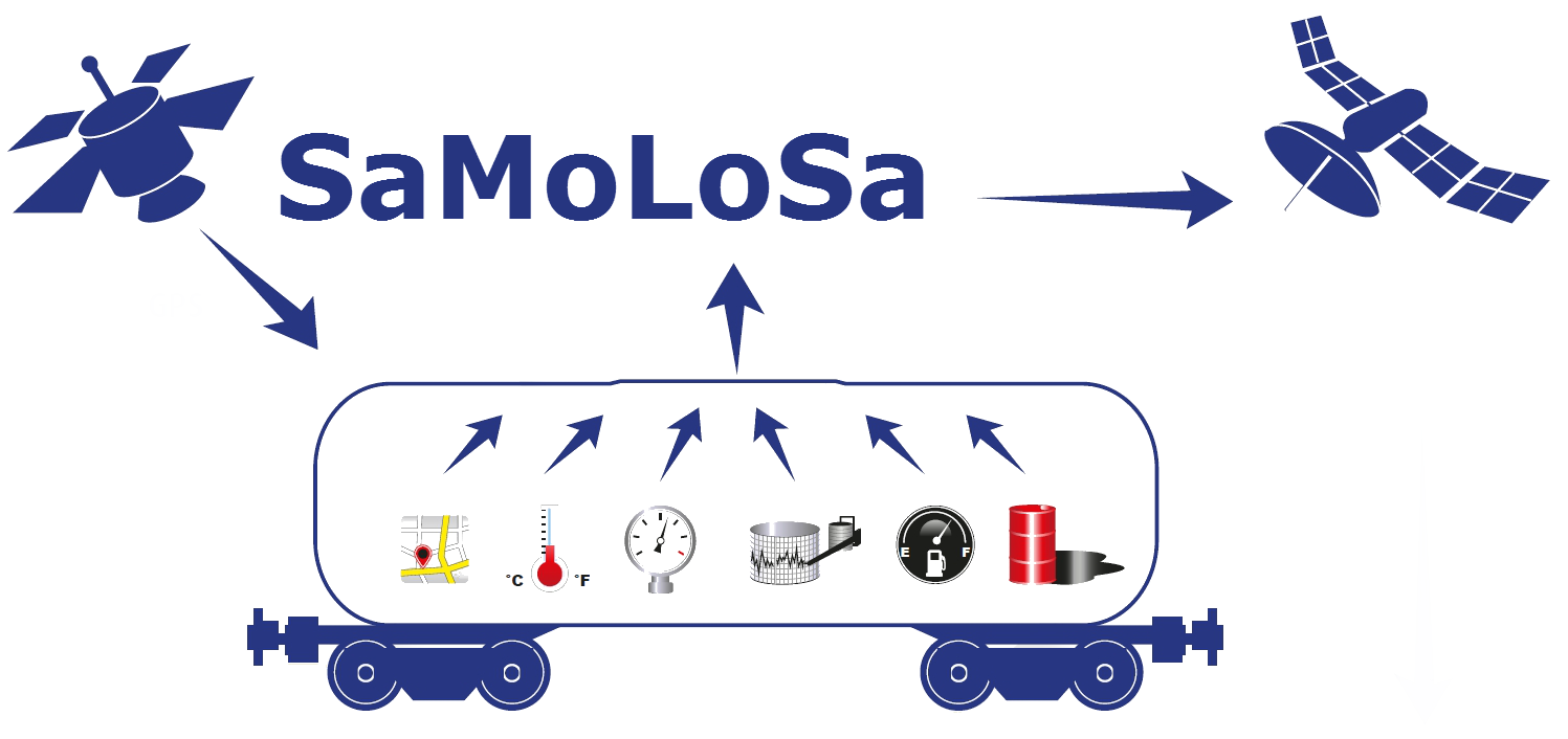
The SaMoLoSa project aims at demonstrating a monitoring service for critical parameters during transports carrying hazardous goods in unpowered transport assets such as rail tank cars and intermodal tank containers. After identifying stakeholder needs, the monitoring device is configured for the required parameters and a software platform is developed to provide an answer to these specific needs.
As the overall goal of the project is the reduction of risk, an automated risk analysis tool is also developed to assess the risk per trajectory.
To be able to perform this risk analysis a digitized EU railmap is developed, enabling trajectory optimisation allowing to identify the route of the least risk when transporting hazardous goods.
Another technological objective within the SaMoLoSa project lies in investigating the possibility to combine the Ovinto Sat Monitoring technology with the SAT AIS technology so that intermodal (tank) containers can continued to be monitored even when they would be stacked inside a vessel of ship.
Next to all of the above, the SaMoLoSa project aims to offer a new commercial model towards the different stakeholders, minimizing the ‘entry barrier’ and costs regarding these monitoring services while maximizing their return and profit for all implied stakeholders.
Users and their needs
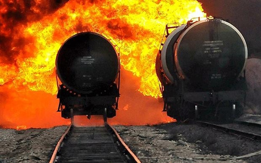
The transport of dangerous goods is mostly executed via rail or boat to reduce the risk of incidents on the road.
These transport assets don’t have a proprietary power source causing major problems to:
- determine the location of the transport assets
- register critical data such as mileage, temperature, pressure, shocks, leakages...
- get notified when critical parameters change during transport
End users and other stakeholders in the transport of dangerous goods via unpowered transport assets (emergency services, logistic operators...) want to be kept informed about the overall status during the transport and they want to be alarmed when specific critical parameters exceed predefined limits (e.g. temperature, pressure, shocks....), in ‘real time’, worldwide.
- The (petro-)chemical & gas industry as hazardous & dangerous goods transporter, for optimisation of security, know the whereabouts of their hazardous transports as well their condition
- Their respective logistics departments , in order to reduce operating costs.
- The leasing companies as a basis for invoicing.
- Producers of tank containers & tank rail cars who could supply their products with integrated monitoring devices.
- Professional interest organizations (Cefic, ITCO, Essenscia, …) who play a role in regulating the sector
- Insurance companies
- Government in close cooperation with the civil service, fire brigade, SAR, …
- Satellite communication providers
End users represented in the project are based in Belgium, the Netherlands, Germany and France.
Service/ system concept
To be able to provide this service, we need to measure and register these vital parameters on the unpowered asset, interpret the data and communicate these values and alarms from all over the world to customers and users all over the world.
So in short the Ovinto Sat Monitoring Service provides:
- Monitoring equipment, connected to the necessary measurement sensors, on the unpowered transport assets,
- Monitoring, registering and the communication of all relevant data,
- The interpretation of all data according to the wishes of the customer and present these data in the format desired by the customer, provided as Data as a Service
Space Added Value
Unpowered assets such as train wagons are hard to monitor in real time using GSM technology due to its relatively high power consumption, the lack of global coverage as well as not being adapted for use in very explosive surroundings. Satellite technology is able to solve this, and Ovinto battery optimization allows for a unit working long enough to be useful for the users.
GNSS is a cheap, universal way to locate assets everywhere on the globe.
Current Status
Unpowered assets such as train wagons are hard to monitor in real time using GSM technology due to its relatively high power consumption, the lack of global coverage as well as not being adapted for use in very explosive surroundings. Satellite technology is able to solve this, and Ovinto battery optimization allows for a unit working long enough to be useful for the users.
GNSS is a cheap, universal way to locate assets everywhere on the globe
Prime Contractor(s)
Subcontractor(s)


