Objectives of the service
Understanding the amount of water trapped in the snow-pack is still a big unknown for even the leading players in the industry. Many of the leading organizations use snow measurements and models however the estimation errors can still be quite large as it is difficult to get good snow storage estimations especially during years that differ a lot to the normal.
We want to demonstrate a new method for estimating snow storage over hydropower basins and larger areas by the use of radar satellite measurements in combination with the interferometry technique. The method can provide a spatial resolution of 50m and updates on a bi-weekly basis up to snow storage max.
The method has the potential to minimize the use of more traditional snow measurements, aid existing model estimations and provide a more accurate understanding of the amount of water trapped in the snow prior to start of the melting period for hydropower basins and larger regions.
Users and their needs
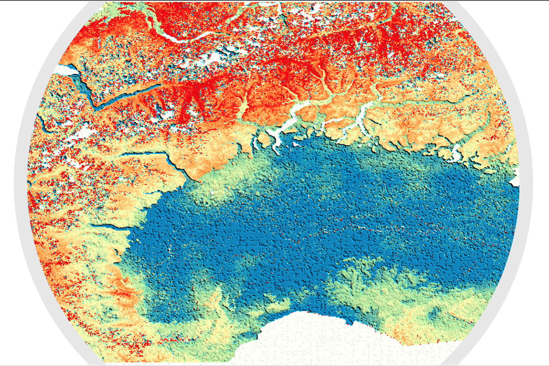
Targeted user communities are meteorologist, hydrologist or hydropower production planners as well as power market analysts. The needs is to get an accurate overview of water trapped in the snow-pack during the snow season. The focus of feasibility study is the Italian Alps.
Service/ system concept
The service concept is to provide bi-weekly updates of snow storage or Snow Water Equivalent (SWE) throughout the accumulation period. The output product is a grid covering the geographical area of interest. Each grid cell contains information on accumulated SWE since start of measurements. Resolution of each grid cell is 50m x 50m.
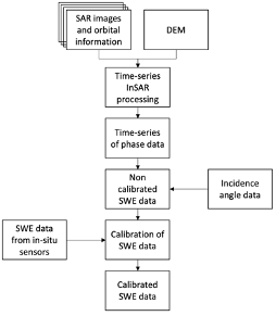
The system measures the change in phase between two or more satellite radar measurements. The change in phase is directly proportional to changes in SWE. As the system is relative in space (and time) measurements needs to be calibrated to absolute SWE values by use of for instance ground SWE measurements. The output is a grid product containing SWE information for each grid cell.
Space Added Value
For this project we are applying interferometric acquisitions of L-band radar data provided by the ALOS-2 satellite. L-band measurements have a longer wavelength compared to more widely used C-band and X-band measurements. This makes L-band measurements more robust for snow applications. In addition, L-band measurements penetrate vegetation compared to C-band and X-band which enables the method to also work in vegetated areas.
Current Status
The method has been tested over multiple years in Southern Norway and is currently being tested in the Italian alps. The method shows good alignment with time-series SWE measurements from in-situ SWE stations and with snow storage estimations provided by hydro producers.
The next step is to demonstrate an operational service covering multiple snow seasons and providing several updates throughout the snow season and up to snow max. It is needed to further perform extensive validations covering different regions and different snow conditions in collaboration with hydro producers and public organizations having access to good snow measurements.