Objectives of the service
VisioTerra business idea’s is to propose a new service called VtDaws (Detection and Warning Service). This service uses an automated software system based on already proven components used in concrete projects. Firstly, the system is able to acquire EO data (especially from the Sentinel constellation of satellites but also from Copernicus Services and other satellites), process these data and mix them with complementary added-value data (meteorology, climate, Land Use/Land Cover, Digital Elevation Models, biogeophysical data). Using this amount of data, VtDaws system detects changes or anomalies in order to send warnings to the users. VtDaws basically transforms data into information to be easily shared amongst intermediate and/or end-users as well as through public management authorities. VtDaws system also includes a community sourcing application to enrich algorithms based on machine learning and increase involvement of the users. VtDaws is developed on a SaaS business model to deliver the value proposition: a near real time monitoring system for client resources.
The Kick-Start activity has demonstrated the technical feasibility and the economic viability of VtDaws, especially on the following markets: Agriculture, Forestry, Oil&Gas, Water management and Insurance sector.
Users and their needs
The market study was focused on Agriculture (farmers, cooperatives, agrofood companies), Forestry (public and private), Oil&Gas (production companies, environmental NGOs), Water Management (water agencies, public bodies) and Insurance Sector (insurance companies, experts):
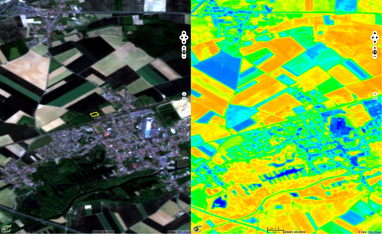
- For Agriculture, VtDaws enables the crop monitoring from the sowing to the harvest, especially with information on fertilization needs and warning on hydric stress to optimize the irrigation.
- For Forestry, VtDaws helps the forest owners and/or managers (deforestation warnings, planting, pruning, cleaning, logging…) and can assess the impact of events such as fires, storms, hurricane or invasive species.
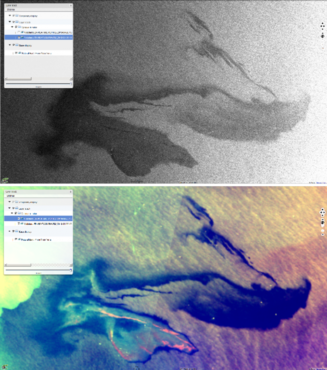
- For Oil&Gas, VtDaws is usefull both to the industrial facilities (e.g. detection of oil leaks from an offshore platform) and public bodies in charge of environmental issues (e.g. early response to oil spills).
- VtDaws also brings relevant information to the Water Management sector, such as monitoring of the water level in lakes or the coastal erosion, but also warnings when pollutions or algae blooms are automatically detected in water bodies.
- The Insurance sector is transverse and uses VtDaws for assessing the impact of events (e.g. drought, storms, flooding). The development of parametric insurance also needs the contribution of satellites data mixed with other data to calculate relevant indices.


The market study has involved European and African users/clients
Service/ system concept
VtDaws is designed to be an automated SaaS with the minimum of interaction with the end-users. As soon as the user has been registered with a valid subscription, he can define his area of interest, his main concerns related to his business and how to be warned (text, email). The system access the data as soon as they are available, process them, detects changes, analyses them with AI algorithms and send notifications to the user if anomalies are detected on his area of interest. Using a mobile app available on smartphones and tablets, the user can go on site and add information (comments, photos, videos) on the detected changes. This added information can be easily shared among the users community and used to improve the algorithms.

VtDaws general concept
Many features of VtDaws have already been developed in the VtWeb platform and the FLEGT Watch project (see videos below).
Space Added Value
VtDaws uses all the assets of the satellite data:
- No more frontiers: satellites give access to any interesting locations all over the world;
- Free access to Sentinel data;
- High spatial and temporal resolutions useful for the detection of many relevant changes concerning the addressed markets;
- Traceability and reliability of data.
Current Status
The Market study and the Business Plan are completed. The technical feasibility has been demonstrated in the FLEGT Watch project, an automated change detection software for a pan-African programme led by the European Commission to monitor illegal logging in 8 countries in West and Central Africa. VisioTerra intends to start a Demonstration Project to develop the operational service for all the market sectors.


