Objectives of the service
Due to the impacts of climate change, ensuring water information through proper and ongoing qualification, quantification, management, and forecasting accessible for all is no longer just necessary but also strategic. WaterSIM tools can be deployed "as quickly as possible" to continuously survey the blue water (physical state) to support operational management as well as tactical and strategic planning anywhere on the world.
Within our Proof Of Concept involving first pilot users, we have built innovative indicators to monitor and control water state, water use, water stress and risk exposures. These indicators are adapted to the spatial and temporal resolutions of interest and are based on water level, water surface and water volume derived from Earth observations.
Users and their needs
Customers and users are various, sharing the same water value and acting on water resilience:
-
National and Cross-border Integrated Watershed Management Organizations. To increase their monitoring networks and knowledge on rivers and lakes by combing all possible observation sources, and to get early warning for potential hazards and risk impacts
-
Fire & Rescue Services. To use all available water data (from national networks and space-based observations) to monitor water bodies (rivers, lakes and reservoirs) and produce innovative indicators & interactive pilot-dashboard to improve the impact assessment of riverine floods.
-
Dams Operators. To deploy specific in situ captors and use satellite observations to monitor regularly and precisely the water storage and plan operations
-
Advocacy Groups – Water Stewardship. To develop Best Management Practices and use common basin mechanism to avoid or reduce operational impact and to replenish, restore or regenerate operational footprints.
-
Engineers/Consultancies / NGOs. To use this new generation of monitoring and web-dissemination tools for any of your water-related contracts
Service/ system concept
With WaterSIM, customers and users can select different monitoring solution adapted to their regions and information services to fit their needs:
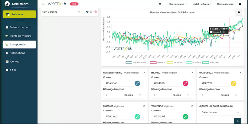
- For optimum monitoring of rivers which capitalizes on national infrastructure in place and complementary in situ and space-based water data to precisely monitor the water level of rivers in real time
- To survey the river systems and early warn for potential risk an incoming flood along rivers, drought or failures in water availability, pollution risk upon monitoring tools deployed
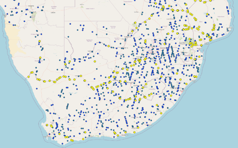
- For a rapid mapping of water bodies include innovative water stress and risk impact indicators & pilot-dashboard to support decision-making, available for an ongoing surveillance or activated by a previous alert
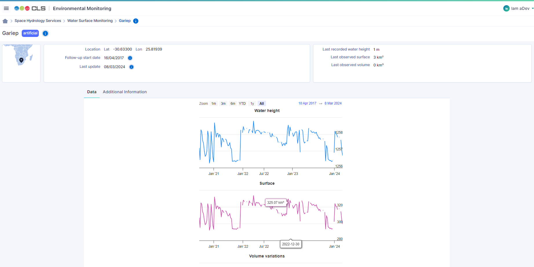
- For daily management of water storage in lakes and reservoirs be it water level, water surface, water volume as well as water inputs, water abstraction and use to support command area and anticipate operations
- To rely on the know-how and expertise of WaterSIM’s partners and alliances to get more. Our main strength is our ability to process and use all types of data and sensors to collect them in a timely manner and produce insightful information and derived water indicator (e.g. for performance of hydrological and/or water hydraulic systems).
By providing real-time information on water resources from rivers and lakes, reservoirs, canals, irrigation tanks, rainfall, and soil moisture, WaterSIM helps to build a reliable and authoritative system for all water resources related information. Combined with visibility into water demand or risk impact, WaterSIM helps the key decision makers for effective planning and management of water resources for their state/region/water users. The portfolio of services, from data collection to environmental intelligence is adapted to on different budget and infrastructure capacity (small, medium, high).
Space Added Value
WaterSIM solution integrates the latest satellite-based technologies to build a reliable and operational system for all water resources related information, that is:
- Earth Observation satellites:
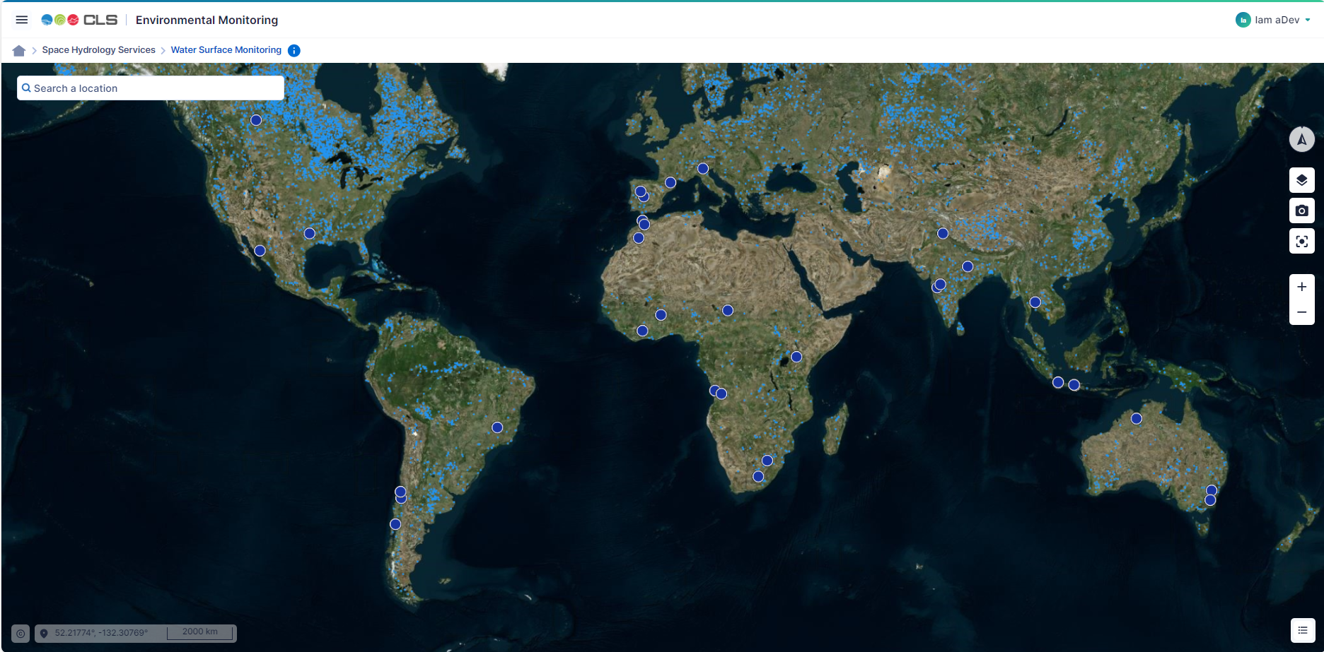
To regularly monitor rivers, lakes and reservoirs (wherever on Earth, weekly to monthly data)
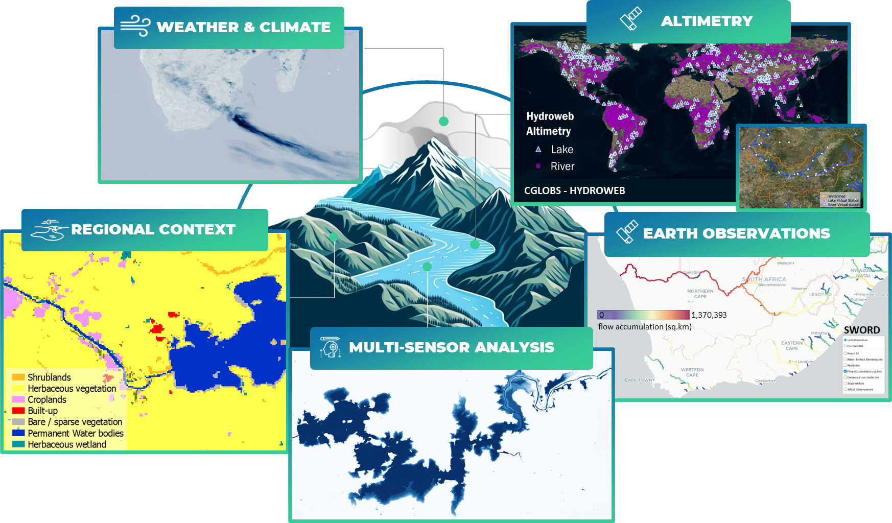
- Use of Radar Altimetry (Sentinel 3 a & 3b, Sentinel 6, Jason series) for water height and storage change of lakes and reservoirs
- Use of optical imagery (Sentinel 2, Landsat series) and Synthetic Aperture Radar (Sentinel 1) for surface and volume of reservoirs, flood extent
The use of commercial earth observation satellites is possible together with public satellites to enhance the temporal and spatial resolution if found insufficient.
-
Satellite communication and navigation
To acquire real time water data, precise and hyperlocal
-
Use of ARGOS / Kinéis (IoT baseline communication protocol) to connect micro-stations and collect data from the micro-stations network
-
Use of Global Navigation Satellite System to get continuous and referenced timing (and positioning) of micro-stations, and deduce rainfall estimates
- Space-based earth-observation added value products
To derive innovative information
-
Use of global Digital Elevation Models (such as Copernicus Digital Elevation Model) to produce volume and volume variations
-
Use of global land cover data (such as ESA worldcover 2021, Copernicus Globland) for impact assessment of floods
The value of space systems together with the existence of historical data and sustainability of space programs is crucial to support tactical and strategic planning. The fusion of multisource and nature of data improve operational management and prevention
Current Status
Thanks to the work achieved during the feasibility study, the partners have designed a solution that mobilize CLS and vortex-Io technologies to conduct a flood demonstrator with our user community who have expressed an interest:
-
To get information where it does not exist (use of satellite observations and new in situ vorteX-io micro-stations connected by satellite IOT)
-
To get innovative spatial indicators to improve and secure operational management
-
To offer new tools supporting tactical management of water resources.
The homogenous access to the information combined with the visibility into risk impact or water demand support effective planning and risk-based management of water resources for states/regions/water users.
If this activity resonates for you, you want to see what we can do and work it out, please contact us.
