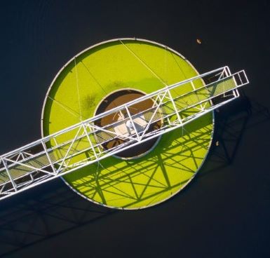
The fourth thematic area under the “Space for Infrastructure” thematic Call for Proposals is water management infrastructure.
Water is key to sustaining life on Earth its distribution is a fundamental part of modern society. Water management refers to the physical structures and networks that are used both for the distribution of water and for waste management (i.e. sewage). Waste management refers to the collection and treatment of sewage, which improves living standards and also increases hygiene levels by almost eliminating the presence of waterborne diseases. With water security coming under threat in many countries, water infrastructure operators are increasing their investment to secure their future water supply. Use cases that may be addressed through this call include (but are not limited to):
- the estimation of future water usage, where, by predicting future demand, water authorities will be able to better plan the future infrastructure production needs, which will also improve the efficiency of water usage increasing the efficiencies in water treatments including for example waste water infrastructure monitoring
- facilitating preventative infrastructure maintenance to increase the grid capacity and allow for a more efficient system
- supporting better-informed water policy creation and information policy decisions
- monitoring water grid security and threats to infrastructure.
Value of Space
Satellite technology and data have a significant role to play in the development of potential services:
Satellite Communications (SatCom) enables the provision of ubiquitous connectivity to enhance the communication links, connectivity of IoT devices and support for remote locations. In addition, satellite communications can provide real-time, long-range communications with infrastructure monitoring systems (i.e. UAVs/robots/remote assets). Example applications include but are not limited to:
- enabling real-time monitoring of water usage and alerting agencies to spikes in demand
- promotion of digital twin technologies
- provision of warnings to both supplier and consumer to reduce water usage
- provision of ubiquitous connectivity when the terrestrial network is not available. (i.e. in disaster situations)
- provision of real-time data to grid managers by providing real-time communications and IoT, clearly showing where leaks are occurring
- real-time, long range communications with drones/UAVs used for monitoring
- promotion of integration of digital technologies and SatCom for grid security, monitoring security and water reserve levels
Global Navigation Satellite Systems (GNSS) can be used to enable geo-referencing of in-situ data, as well as navigation and tracking (PNT) of vehicles, people and goods. GNSS-based technologies can be used for time-stamping reference system information, ensuring the traceability of the data. For example, GNSS allows the tracking and navigation of uncrewed vehicles and can facilitate the automation of infrastructure maintenance through robotics or UAVs. Example applications include but are not limited to:
- navigation of autonomous infrastructure maintenance vehicles. E.g. Drones/robots
- geo-fencing assets of water/waste assets
- maintenance data validation, ensuring data traceability
- provision of advanced GIS for spatial information management, including utilisation of SatEO data to monitor risk
Satellite Earth Observation (satEO) (including next-generation nano satellite and CubeSat networks) can be used in multiple ways including:
- monitoring of the natural and environmental parameters, including pollution levels
- monitoring of installed infrastructure (dams, reservoirs, pipes, etc…)
- monitoring of agricultural lands ensuring resilience against flood and drought
- identification of patterns and trends that may be linked to infrastructure safety risks, and insights into how to best address them
- indicating small and large ground movements and how that will affect underground water infrastructure
- providing imagery-enabling services such as mapping, risk detection, and situational awareness for policy enforcement issues
What we are looking for
We look for teams who have identified an attractive market opportunity with real potential to engage customers. Motivation, business experience and domain expertise are all important features. We want to hear about your ideas that involve the utilisation of either space technology or space data.
In particular we are looking for those opportunities which are going to become market disruptors to the water and waste infrastructure market(s) and which offer a high level of innovation.
About the Opportunity
As part of this call for proposals, ESA will support Feasibility Studies and Demonstration Projects under this ‘Announcement of Opportunities’:
• Feasibility Studies allow successful teams to analyse, design and plan their intended service
• Demonstration Projects allow successful teams to put their intended service into practice. Teams will test their service in the market by running a pilot with significant users and, by the end of the project, the service should be operational.
How to Apply
1. Register your team on esa star Registration (https://esastar-emr.sso.esa.int) today! If your team is made up of more than one company or organisation, each entity will need to register.
2. Scroll down to the ‘Downloads’ section of this webpage to download all the official documents. Official documents include a document explaining the scope of this opportunity and the past two webinars hosted by ESA.
3. Download the Activity Pitch Questionnaire template and submit your pitch as instructed in the Activity Pitch Questionnaire guidelines, through the form online.
4. ESA will evaluate your pitch. Teams whose pitches are positively evaluated will be invited to prepare an Outline Proposal and then a Full Proposal. Teams must obtain a Letter of Authorisation from their respective National Delegation before submitting a Full Proposal. Contact details of all National Delegates can be found here: National Delegation(s).


