How can satellites be utilised to collect water depth data?
Who are TCarta?
To fully understand why we support TCarta and their vision, you need to know a little bit about who they are.
So, what do they do?
TCarta are a geographical information systems company, constantly working to improve geospatial data availability. They provide map data in places where it’s not currently available.
The company began with providing seafloor mapping data for marine applications. But, more recently, they offer onshore and offshore geospatial solutions. Therefore, it’s little wonder they’re a leading provider of Earth observation analysis services.
For TCarta, data is central to innovation.
The Measurement of Water Depth
While TCarta work in a number of different sectors, one of their key areas of focus is bathymetry.
Bathymetry is depth mapping of water, in oceans, seas or lakes. Unsurprisingly, this can be an extremely difficult task. However, it’s a necessary one.
How can collecting this data be made more efficient?

The Bathymetry Data Portal
The latest development and application of technology for TCarta is the creation of the Bathymetry Data Portal, which focuses on the coastal marine environment for the global market.
The portal collects all the bathymetry information in one place, allowing it to be easily obtained by those who need it.
Having all this information accessible in one portal is somewhat of a revolution, as it’s the first time this data has been available in this way.
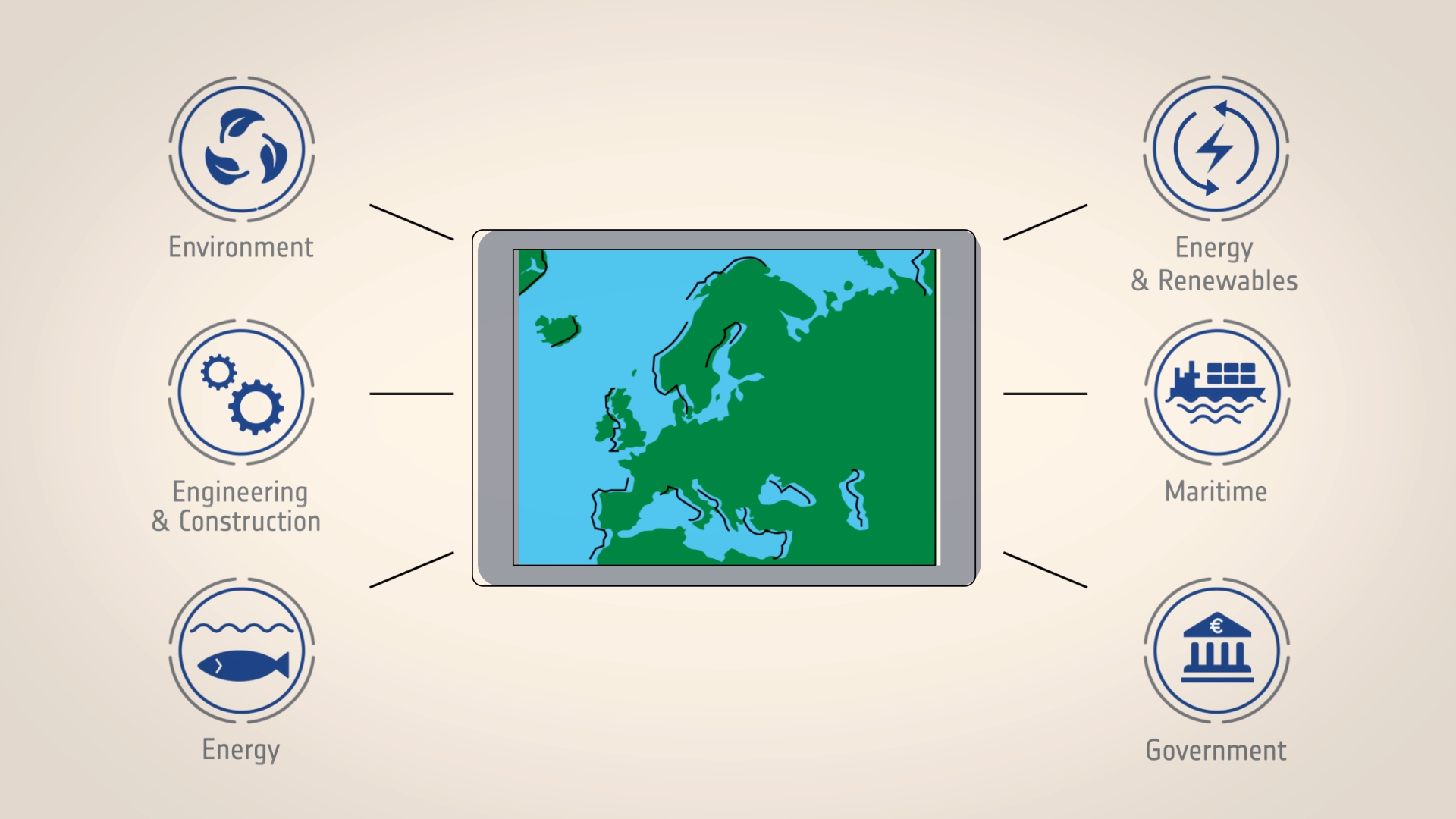
This instant access is ground-breaking, and the data can be used across a wide spectrum of sectors:
- Energy and renewables
- Environment
- Engineering and construction
- Maritime
- Energy
- Government
These different sectors utilise this data in a number of ways. For example, tsunami modelling benefits from the more accurate and detailed data about shallow water areas.
How Does this Relate to Space?
So, what does any of this have to do with space?
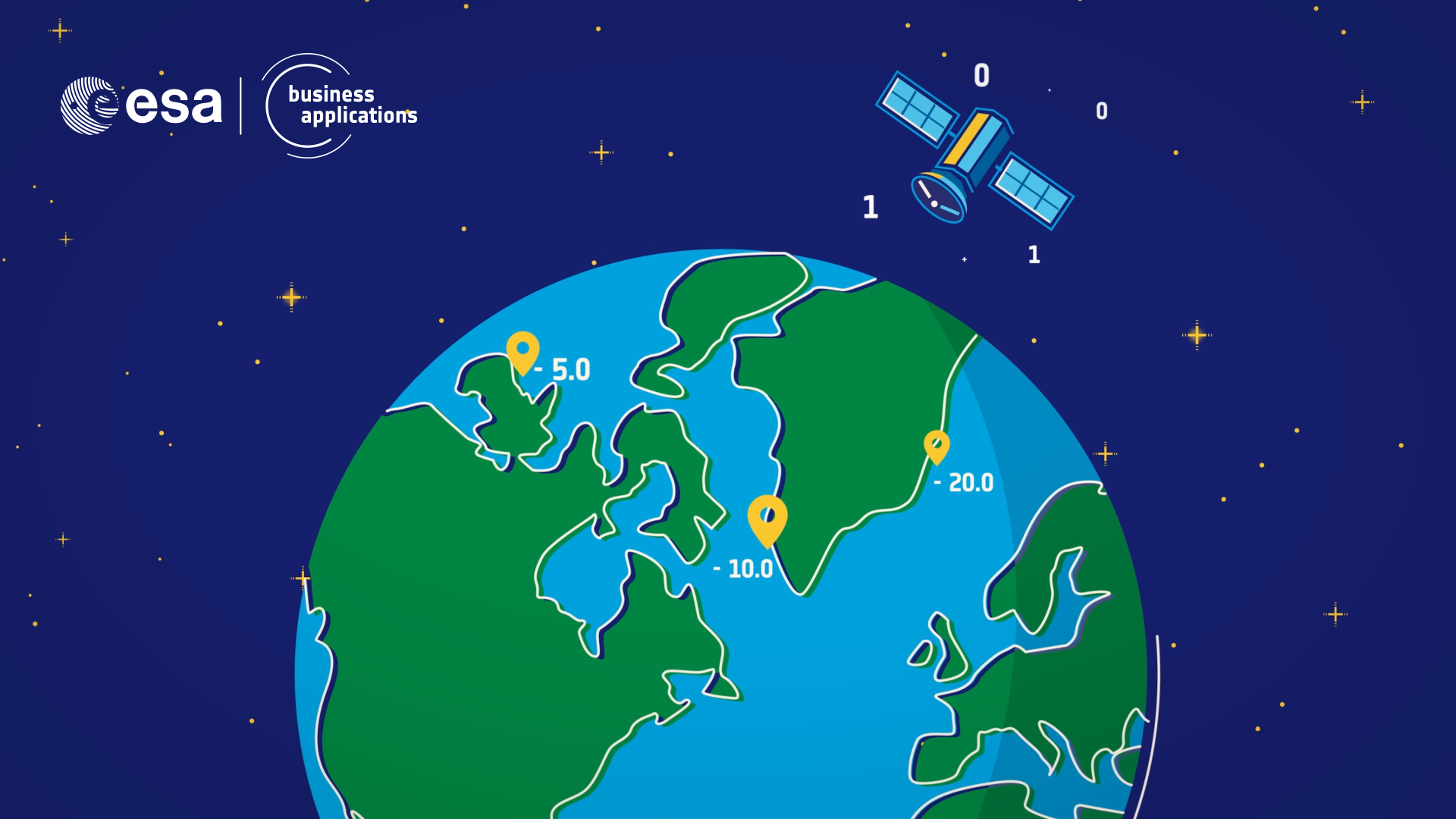
You may assume collecting deep sea data requires a boat. However, satellite technology has made remote connection possible.
In terms of distance, you can’t get much further apart than the bottom of the sea floor and space. So, to some, it’s surprising that the data is derived this way.
But, distance isn’t a concern. Data is collected by taking a multispectral satellite image. This measures reflected energy within several specific sections of the electromagnetic spectrum.
Overcoming Challenges
Despite advancements in technology, global coverage remains a challenge.
However, TCarta have found a solution for this. Instead of trying to cover the globe, they only choose areas of highest value, which are suitable for producing this type of data.

How Have ESA-BA Helped?
The European Space Agency Business Applications have played a pivotal role in the creation of the Bathymetry Data Portal.
To create a sustainable business, you need support and funding. This is exactly what ESA-BA has provided, offering:
- Co-equity funding
- Technical and commercial guidance
- Network and partners
- Brand credibility
All of these factors combined have provided the necessary ingredients to make the Bathymetry Data Portal accessible to all.
How Can ESA-BA Help You?
We have worked with a number of innovative and ground-breaking businesses, and have many success stories as a result. TCarta is just one of these!
Our globally recognised innovation programme offers funding, support and credibility to your company.
This is available to any business which intends to use space to develop commercial services. From satellite navigation to space weather, we work with a broad spectrum of innovative ideas.
You can find out more about our funding opportunities here. Alternatively, subscribe to our YouTube channel to stay up to date with the latest technologies bringing us closer to the stars.


