
Objectives of the service
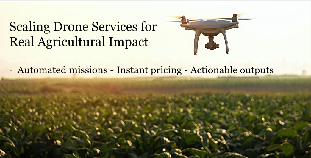
AgriFly addresses a fundamental scale problem in drone services: pilots collect excellent data, but customers need finished, actionable products. The service digitalises the full value chain—from order and instant per-hectare pricing to automated mission planning, pilot dispatch, secure data upload, analytics, and delivery—so farmers and advisors receive ready-to-use outputs (e.g., precision spray maps, drainage layouts, forest inventories) without handling raw data.
Project objectives are to (i) standardise data collection and quality, (ii) integrate analytics partners via APIs, (iii) embed ordering and delivery in channels used by farmers (e.g., SEGES), and (iv) validate commercial viability at national scale, targeting ~100,000 ha annually through a seasonal portfolio of services.
Users and their needs
Primary users are farmers and agricultural advisors who require reliable, actionable outputs, transparent pricing, integration with existing tools, and year-round relevance. Service users include certified drone pilots who need a steady flow of pre-planned missions and simple admin, and analytics providers who need standardised inputs and API integration to scale. Digital platform partners (e.g., SEGES) act as crucial channels for discovery and delivery. Target countries initially include Denmark, with EU expansion planned. Key needs validated via interviews, workshops and field tests: simple ordering, transparent pricing, standardised quality, integration, automated workflows, and stable job flow for pilots.
Service/ system concept
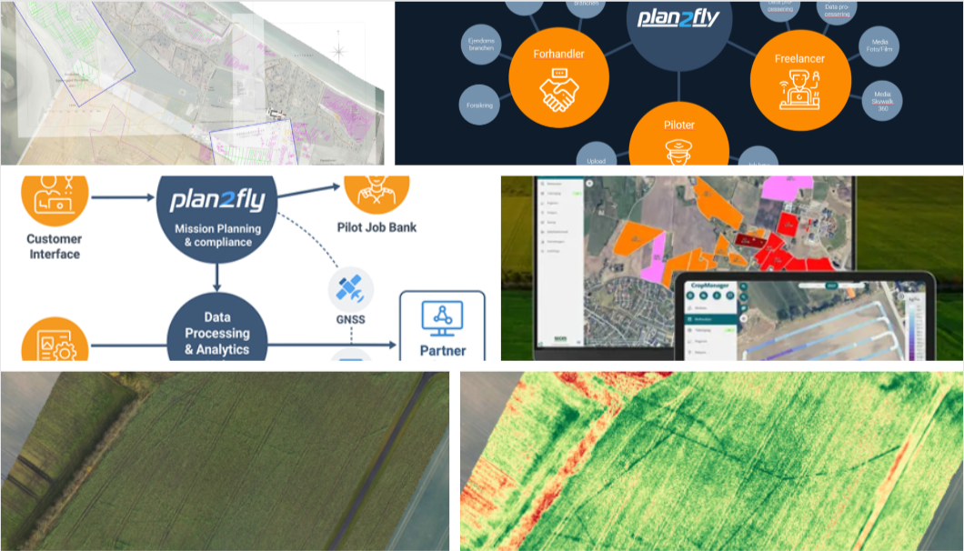
AgriFly is built on the Plan2Fly core (“mini-UTM”) for compliant planning and GNSS/RTK navigation. Customers draw a field polygon and select a service; the system generates an optimal flight plan (KML/KMZ), assigns a suitable pilot via a job-bank, and enforces standard capture parameters. Pilots upload data to a cloud hub where integrated partners process imagery into final products. Outputs are delivered in common formats (e.g., ISOXML, shapefiles) and can be surfaced inside partner platforms. The microservice architecture allows new services to be added without changing the core.
Space Added Value
GNSS (Galileo/RTK) provides centimetre-level positioning for flight execution and georeferencing, enabling precision outputs like spray maps and drainage layouts. Earth Observation offers baseline context (e.g., vegetation indices) to optimise where drones fly. SatCom is used where terrestrial networks are constrained, ensuring mission coordination and data transfer continuity. The combination increases accuracy, repeatability and scale compared to non-space alternatives, and is the key enabler for automated, cross-regional service delivery.
Current Status
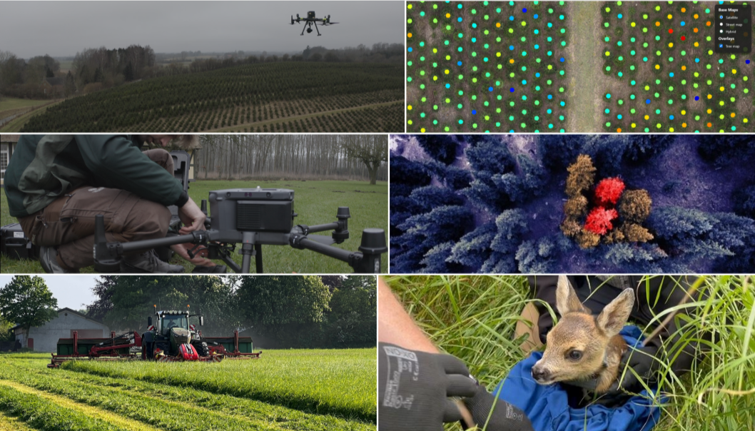
The Kick-Start feasibility has been completed with positive results. The team validated end-to-end automation (order → plan → fly → process → deliver), confirmed centimetre-level accuracy via GNSS/RTK, and ran field tests across priority use-cases (weed mapping, drainage, forestry, fawn detection). Letters of Intent and collaboration with key partners (Velas, SDU Drone Center, Akson Robotics, Technological Institute as knowledge partner) are in place. The team intends to submit a follow-on Business Applications demonstration to productise integrations, harden operations, and prepare for commercial scale.