Objectives of the service

Minimizing the urban heat island effect offers a major opportunity to reduce carbon emissions from the construction industry. With the impact of climate change, cooling warming cities with current technology could produce up to 60 percent higher carbon emissions than heating by 2050. Urban heat island intensity in Europe varies between 1-16°C, with higher intensity in the summer and in cities with warmer climates. In Budapest, for example, a heat island can increase temperatures by up to 6°C. This has a significant impact on the heating and cooling demand of buildings, and it increases the consumption associated with cooling to a greater extent.
Paulinyi & Partners looks to solve this problem with HeatScape Resolve, a service developed as part of the joint project with ESA. The project sets out to provide designers with a problem map, help in analysis of plans to mitigate urban heat island effects and aid in tracking results. This service, covered by the project, can be complementary to the energy simulation models used to improve the energy efficiency of buildings and city districts and increase the value of real estate investments.
Users and their needs
The target groups for HeatScape Resolve include municipalities and real estate developers. Municipalities, typically with limited digitalization and resources, need simple, understandable solutions that aid in sustainability planning, improving liveability, and reducing urban heat islands without requiring specialized expertise or infrastructure. They prioritize easy-to-use decision support tools for green space creation, energy efficiency, and regulatory compliance. Real estate developers require evidence-based sustainability measures to meet market demand for environmentally friendly projects. They focus on achieving ESG ratings, improving energy efficiency, and enhancing property value through innovative solutions like HSR that mitigate urban heat island effects and support long-term climate resilience.
Municipality gains:
-
analysis of current situation and quantifiable comparison of different options
-
quantifiable comparison of the effects of tree plantation vs. shade sails
-
optimal positioning plan for plant containers
-
optimal positioning plan for shade sails
-
optimal positioning plan for mist gates
-
effect analysis of reviving the desolate fountains
Real-estate developer gains:
-
buildings’ energy efficiency improve by 3%
-
cooling & ventilation CAPEX drop by 1%
-
cooling & ventilation OPEX drop by 5%
-
ESG Environmental benchmark score raise by 5% for offices, based on BREEAM
Service/ system concept
HeatScape Resolve offers a problem map, conducts risk analyses on building and urban plans to mitigate UHI impacts, and monitors the outcomes. It meets the needs of clients by helping reduce UHI effects on urban microclimates, thereby increasing the value of investments. This is achieved by mitigating climate change impacts on energy consumption in the buildings and districts designed, while also setting benchmarks for ESG sustainability scoring in real-estate investments.
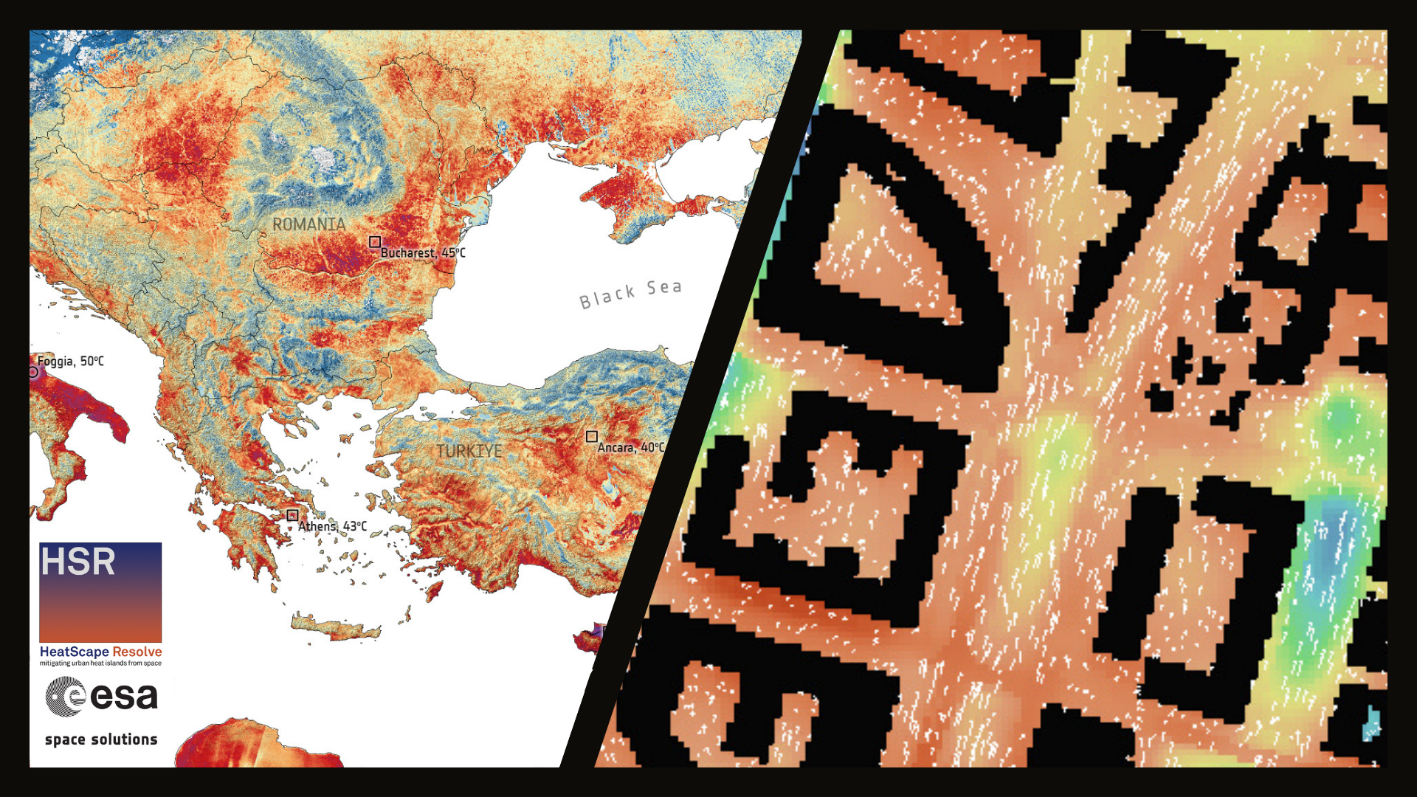
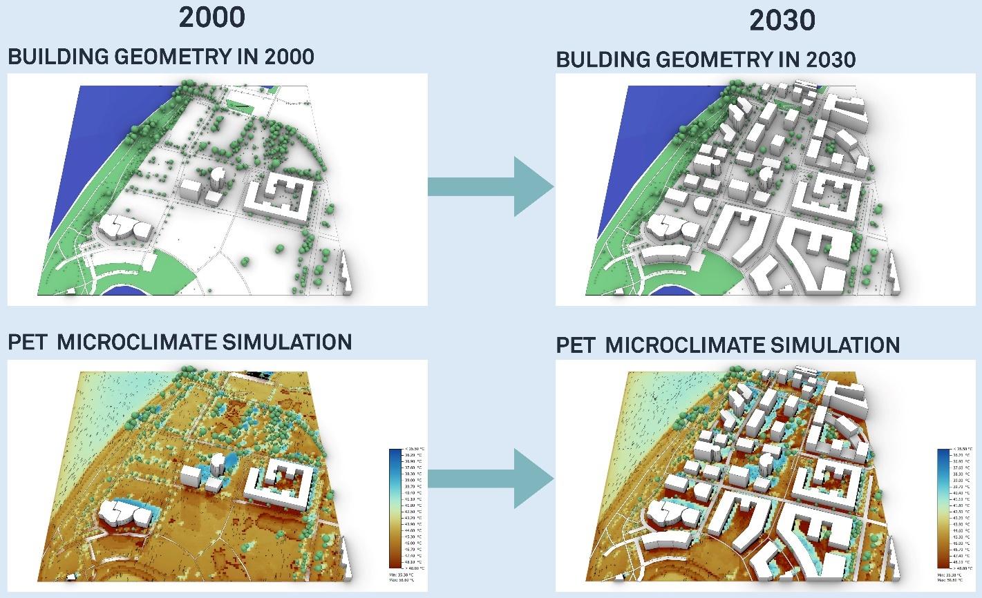
The targeted assets include urban areas, such as entire mixed-use urban districts. The service uses satellite imagery to analyse UHI effects at the building block level, with a resolution between 100 x 100 meters and 300 x 300 meters, and examines urban microclimates at a 3-meter resolution. EO data is incorporated to enhance the precision of UHI simulations. P&P analyses current conditions and proposed urban plans, and by testing multiple scenarios, it provides feedback on how the placement of buildings and green spaces will influence the area’s climate. The cooling demand and CO2 emission of the buildings is also evaluated.

Space Added Value
Earth observation data, particularly from Sentinel-2 and Landsat satellites, is used to enhance the Urban Heat Island simulation model by accurately assessing land cover, albedo, and latent heat proportions. Albedo was calculated using multispectral data, revealing low values for water surfaces and high values for white-roofed buildings. Latent heat flux was analysed for vegetated areas, with forests and grasslands showing similar latent heat proportions. Land cover was classified into five categories—water, roads, buildings, grassland, and woodland—using image segmentation and NDVI.
Current Status

Market analysis, technical feasibility assessment, business plan and proof of concept chapters were undertaken and are finished. Two service offers are developed, one for each target group. Multiple possible demonstration projects are under negotiation and preparation.


