

Objectives of the service
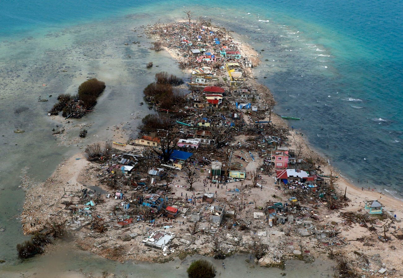
Understanding how Critical Infrastructure (e.g. protection to coastal and urban areas, tourism development, transportation network) is impacted by climate change impacts – sea level rise, extreme water levels and erosion – is essential to prepare for, and strive to reduce, the magnitude of damage and loss from multiple climate risks and exploit beneficial opportunities for building climate resilience.
MoSCI-ECOSPACE supports public coastal authorities, utilities, contractors, engineering consultants, International Financial Institutions and insurance brokers with an updated and easily accessible (online) mapping of climate vulnerabilities and risks in an area of interest (from asset level to country and regional levels) to prioritise risk reduction/management strategies.
Users and their needs
Assessing the condition of coastal ecosystems and structures through conventional monitoring methods is time-consuming and costly. In addition, time intervals between data collection and analysis are long. Furthermore, the use of multisource datasets may cause a lack of consistency in data analysis and quality control. On the whole, this is not only preventing authorities from acting diligently in adapting to actual or expected climate and its effects, but also presenting significant risk in the utilities and construction industries, as well as the financial sector.
The countries of the targeted users are Belgium and West African countries.
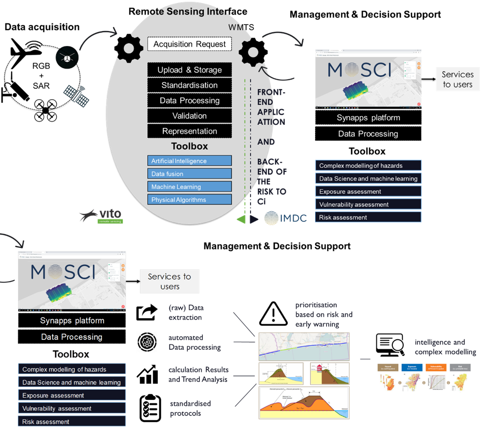
Service/ system concept
MoSCI-ECOSPACE translates user needs into specific product benefits and value to customers by:
-
integrating earth and airborne observation datasets – spanning over a range of spatial and temporal resolutions – into a centralised web-based tool;
-
using standardised protocols for data storing, extracting, processing and (raw) data quality controlling; and
-
translating datasets into meaningful information for overseeing and managing risks to critical infrastructure in coastal and riverine settlements.
Space Added Value
MoSCI-ECOSPACE combines several space assets and couples the derived products with other products that are already used by customers. The first space assets are Sentinel. The second space asset is Galileo which combined with drones provides crucial information for the correct positioning of the drone data and the derived topography information. All these data can provide information on e.g. the stability of CI and can be combined with datasets obtained from airborne-based acquisitions (LIDAR and drone). Finally, land cover maps are derived from Sentinel-2 and then used to derive exposure information along coastal and riverine settlements for damage and risk assessments. Integrating the space assets allows faster assessments of the condition of ecosystems and protection structures and, consequently, to act faster and better in case of damage or destruction.
Current Status
A fully operational service is ready service for commercialisation.