Objectives of the service

Marine litter is one of the most important environmental challenges that humanity faces today, as it affects all the oceans and seas to a greater or lesser extent, regardless of where the waste comes from. According to the World Economic Forum, with the current trajectory, plastic could outweigh fish in the oceans by 2050. Damages to marine life are tragic, while marine litter also threaten public health, maritime safety and economics of coastal regions.
The services studied rely on a central solution aiming at tracking ML in the coastal area to support reduction actions both upstream (source reduction) and downstream (collect operations at sea and on beaches). The solution proposed combines innovative technologies including Earth Observation from space to improve knowledge about marine litter and provide decision-aid to optimize reduction operations. To support the financial viability of this solution, its inclusion is studied in an integrated circular economy channel. The value chain covers the whole operation cycle from the collect of marine litter to its revalorization, with a maximization of the involvement of local stakeholders, starting with the fishing community.
Users and their needs
- The service is primarily intended to public administrations, NGOs or other stakeholder committed to marine litter collect campaigns at sea or along the shoreline : the service provides a supervision system that may be used by coordinators of marine litter collect operations to drive and monitor their missions.
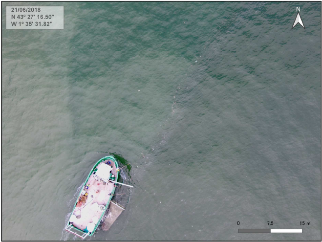
- It is also intended to be used by teams on the field to optimize their collect work, who represents a second category of end-users. Pilots of collect vessels, especially fishermen involved depollution, can use the service to target areas at sea where most of the litter will accumulate and thus maximize the amount of collected waste.
- A third type of end-users are waste services companies, who can use the service to optimize their litter collect operations on beaches or at sea, following the same principle than collect teams operated by public administration.
- Finally, the tool developed may be also useful for the scientific community as well as for environmental associations, through the information it will gather about the dynamics of FML.
The application area is worldwide because of the present ubiquity of marine litter, with users targeted in every country open to the sea.
Service/ system concept

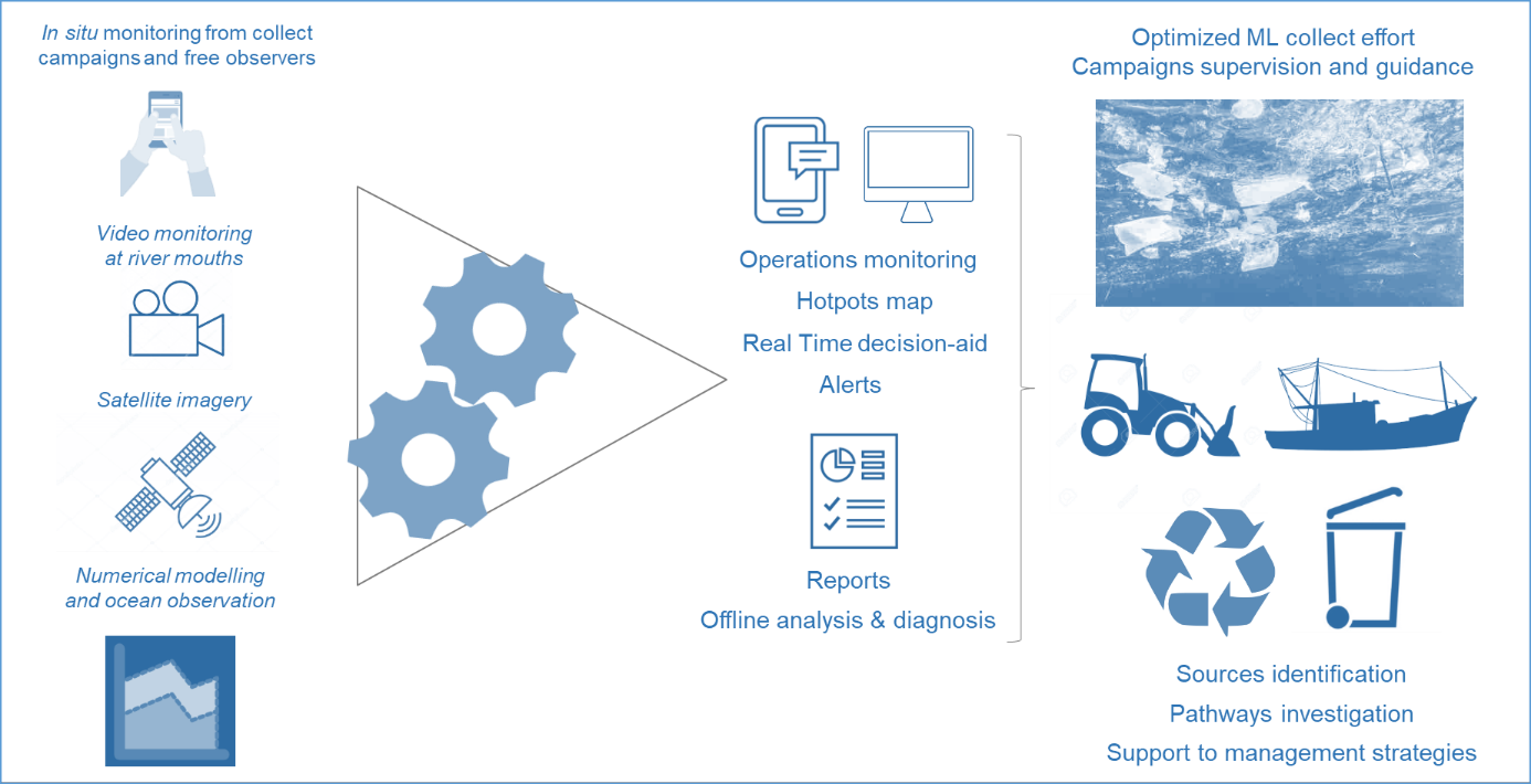
The marine litter tracking solution will combine 5 main innovative technological components:
- Component #1: Detailed monitoring of the collect effort at sea by a facilitated and standardized reporting tool, adapted to both active and passive fishing/cleaning, as well as to spotting by free observers
- Component #2: Continuous detection and evaluation of ML outflows at river mouths from ground measurements by videometry
- Component #3: Detection of ML accumulations at sea from satellite remote sensing
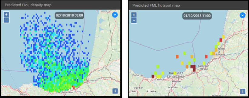
- Component #4: Prediction of ML transport in estuaries and at sea based on operational metocean-based models and observation systems
- Component #5: Tailored information system (User Interface) providing real time decision-aid indicators produced to support collect operations.
To support the financial viability of this solution, the above decision-aid system is further included in an integrated circular economy channel developed by our consortium. The value chain covers the whole operation cycle from the collect of ML to its revalorization, with a maximization of the involvement of local stakeholders, starting with the fishing community. Main components of the economic chain are the marine litter collect, reception at port, transportation, recycling, regeneration, commercialization, and valorisation.
Space Added Value
The main space assets foreseen in the frame of this project are Earth Observation products, and more precisely, high-resolution optical satellite imagery from the MSI sensor onboard Sentinel-2 and the OLI sensor onboard Landsat-8. Other sensors classically used in ocean-color applications might also be used in the frame of the project, such as OLCI onboard Sentinel-3, MODIS, or VIIRS. The use of these products will allow to increase knowledge about marine litter by detecting litter accumulation areas at sea. It will be combined with other monitoring and modelling tools to offer a unpreceded solution to track marine litter in the ocean.
Satellite Navigation and possibly Communication assets will also be mobilized as part of the proposed service, as part of the geo-localisation for the collect facilities at sea and along the shoreline, and the interactions with collect teams on the field.
Current Status

We have met 7 major organisations and experts in the fight against marine litter, who expressed the current needs in their action. These enlightening exchanges are currently being integrated in the user requirements definition in order to support the improvement of our service design.


