“Space is already transforming lives in our urban areas” was the clear message ESA delivered on day two of the Smart Cities World Cities Climate Action Summit. The event, which was held in the UK capital this week, looked at the challenges our rapidly evolving cities are facing as a result of climate change. Representatives from ESA’s Business Applications and Space Solutions (BASS) programme spoke about the influence of space technology on our daily lives and how it is helping to mitigate against the worst effects of climate change.
Urban areas account for at least 70% of global carbon emissions and they continue to grow. According to the World Bank, 75% of the EU population reside in cities, with this predicted to increase to 80% by 2050. This growth results in increased air and noise pollution and greater consumption of water, energy, and materials. Growing populations require sufficient housing and this leads to the challenge of ensuring new developments are sustainable in their use of resources and incorporate strategies to tackle waste management, road congestion, land scarcity, biodiversity, and habitat loss.
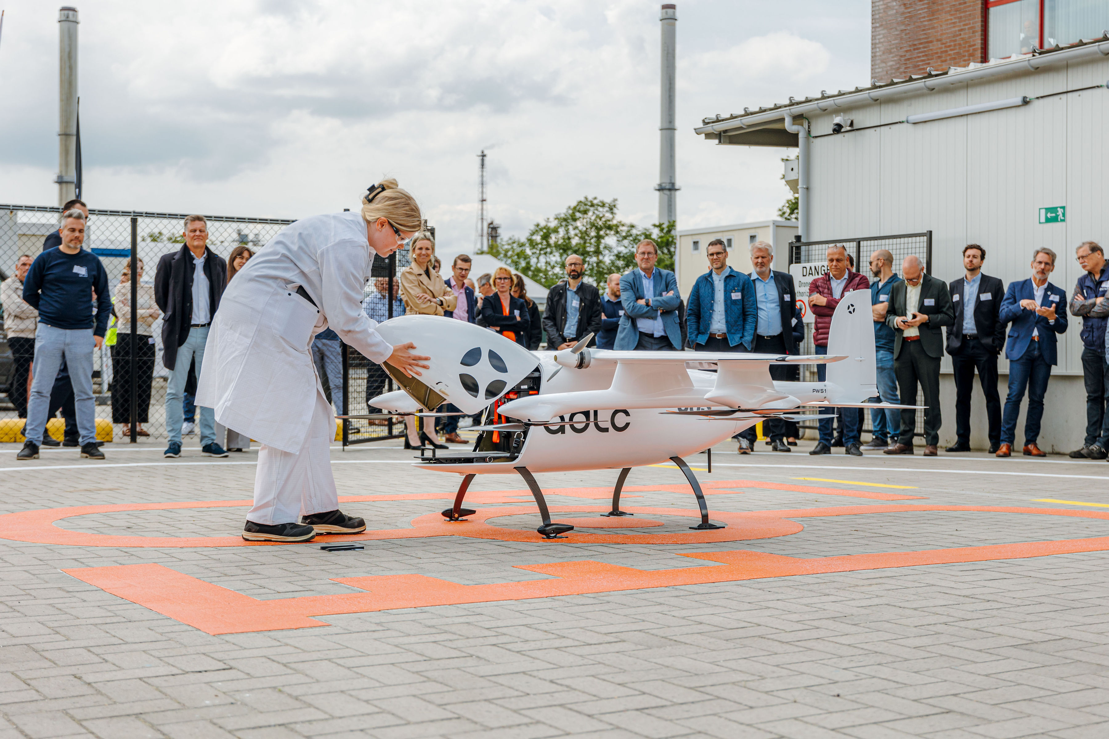
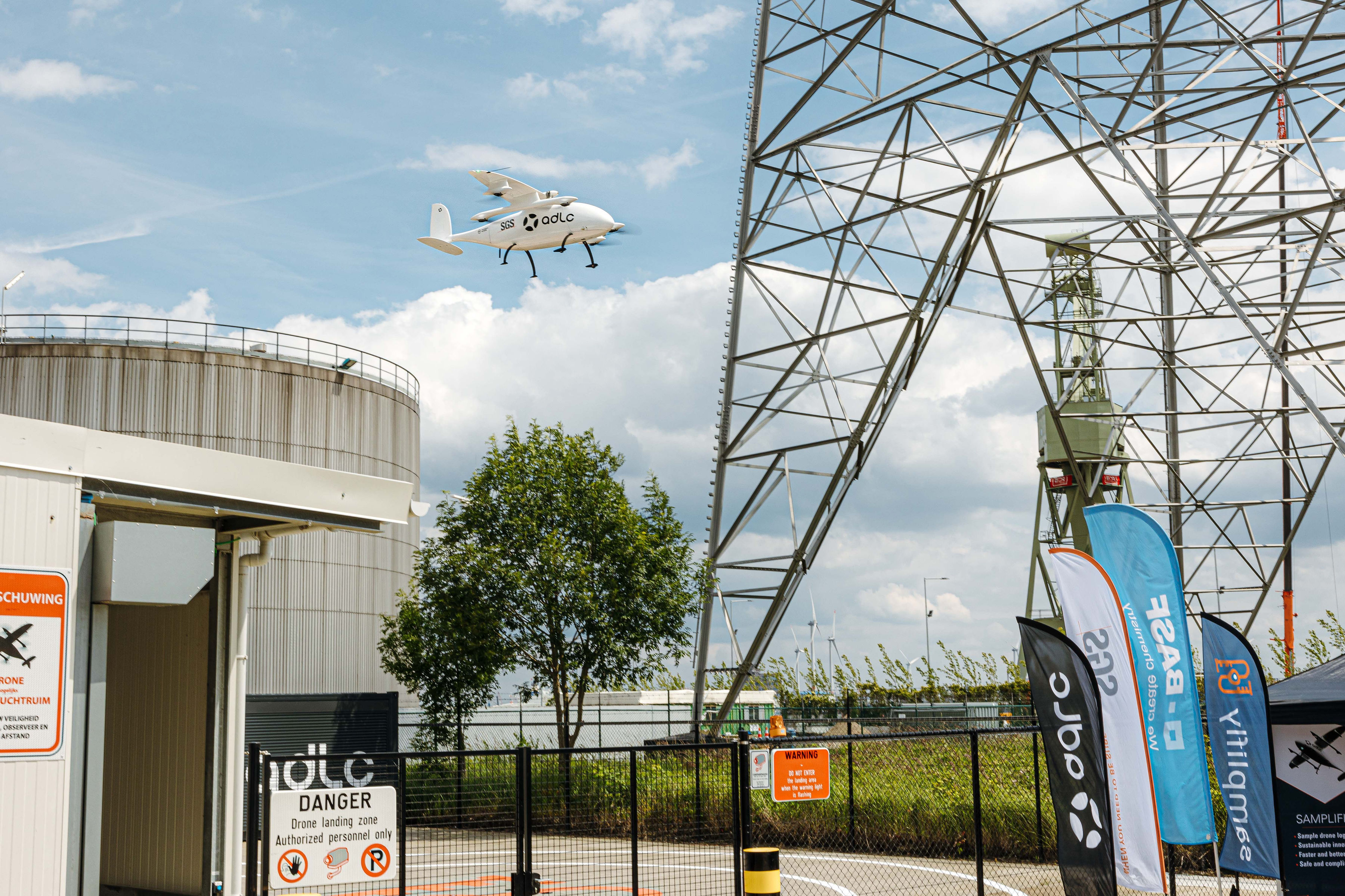
For many, the influence of space on everyday life goes largely unnoticed, but it continues to play an ever more vital role. From services helping urban planners to protect delicate ecosystems, to award-winning traffic management systems, tools to enhance education and health provision and monitoring systems using space-based data to improve the air that we breathe, ESA’s BASS programme is delivering a multitude of operational solutions which not only help to meet the challenges of urban areas but also enrich the lives of their citizens. Many green energy solutions also rely on space technology across the whole energy cycle, from generation to decommissioning, and a number of projects are underway to protect our rivers and oceans.
“With an emphasis on environmental impact reduction and the green economy to create and maintain healthier, more sustainable places to live and work, the BASS programme has already invested more than 15m EURO to support the green and smart cities agenda” said Nick Appleyard, Head of Applications and Solutions at ESA. “We are pleased to be here in London today to showcase our work and forge new collaborations with both cities and businesses.”
As part of its commitment to leveraging space-based technologies to support sustainable urban development, ESA launched its Space for Smart and Green Cities Task Force in Rome, Italy in September 2023. The Task Force spearheads calls for the development of smart and green cities to meet the global challenges of rapid urbanisation. It brings together cities, municipalities, industry, public sector and emerging businesses to generate solutions for highly populated areas including access to green space, intelligent transport, law enforcement, emergency response, cultural heritage and structural monitoring. The focus of the Task Force is to promote solutions and services using space data and assets which create positive impacts in cities, impacts which are environmental, societal, and economic.
The Advisory Board for the Task Force held their first meeting in November 2024 followed by the first Working Group meeting in December. As well as participating in a panel discussion alongside one of the Advisory Board members at COP28 in Dubai, UAE, ESA BASS also organised a joint Smart Cities event in the City of Potsdam with DLR and the ESA German Ambassadors. This week’s event clearly demonstrated the importance of forging alliances to generate innovative solutions to the problems facing our cities and support urban resilience against environmental risks and eco-friendly developments aligned with the United Nations Sustainable Development Goals. Further joint initiatives with cities are planned throughout 2024.
"Today's event emphasises the need for smarter, more sustainable, connected and liveable cities and the important role space technology has to play in achieving it. Collaboration, cooperation and innovation are essential to finding solutions to the challenges faced by cities and bringing diverse stakeholders together under our Task Force is vital as we work towards our shared goal of developing greener and environmentally-conscious ways of living” said Rita Rinaldo, Head of Applications, Projects and Studies Division at ESA.
More than 23 municipalities and networks of towns and cities from both European and non-European countries have already joined the Space for Smart Cities Task Force. Discussions are now underway with more cities across Europe and beyond as the growing need for coordinated and novel solutions to urban problems becomes ever more apparent.
Find out more about how ESA BASS is supporting smart and green cities
Find out more about the Space for Smart and Green Cities Task Force
Sign up for our Smart Cities updates
Visit our stand at the Smart City Expo in Barcelona in November
Posted to Hero article section
No