Objectives of the service

Linking Drones already offer a groundbreaking drone delivery solution that combines proprietary drone technology with a user-friendly mobile application. This solution is designed to meet the logistical needs of businesses across various sectors, providing rapid, reliable, and eco-friendly delivery options, especially in remote or hard-to-access areas.
The inefficiencies in traditional delivery methods present a significant opportunity for our drone delivery solutions. By addressing the challenges of cost, time, and environmental impact associated with conventional logistics, the company aims to set a new standard in the delivery industry, particularly focusing on sectors where speed and reliability are crucial.
Knowing that one size does not fit all when it comes to delivery drones, the project team’s aim is to improve delivery methods and optimise delivery routes, in particular by enabling the easy-to-use mobile application to be used with a much wider range of drones beyond the proprietary offering, Linking One.
Users and their needs
Target customers include healthcare providers, industrial and agricultural businesses, infrastructure companies, and logistics services. These sectors stand to benefit immensely from our drone delivery solutions, especially in scenarios requiring quick and reliable transportation of goods.
Strong contacts have been established with companies around the world, including a healthcare delivery demonstration in the Philippines, and open-pit mines in South America.
Service/ system concept
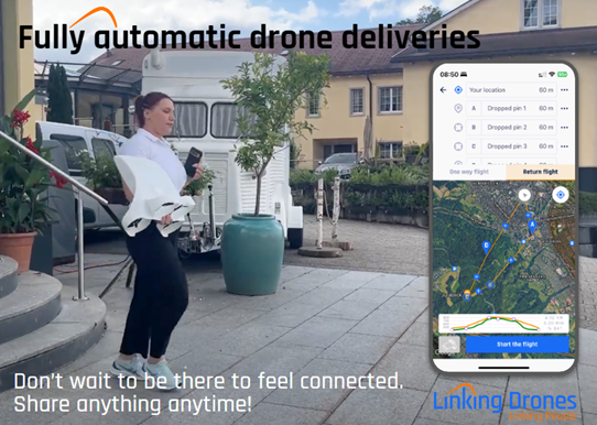
Linking Drones provides the means to make drone delivery accessible to all, via an easy-to-use mobile phone application, and automatic GPS navigation flight.

This project enables customers to operate our Linking One drone in areas of low cell signal, by providing offline satellite imagery maps, provide clearer data of the drone’s flight via telemetry, and having the choice of using the same app with third party drones, including those from DJI as well as any Mavlink-compatible device.
The app connects to the drone either directly via bluetooth or via a USB connection to upload the route plan, before the safety checklist must be completed to enable launch.
Space Added Value
The service offered by Linking Drones harnesses the power of space technology, including GNSS for precise navigation, Earth Observation data for optimising delivery routes, and space weather data to enhance operational safety. This integration of space assets into our delivery solutions ensures unparalleled accuracy, efficiency, and safety, setting the company apart from conventional delivery methods.
Current Status
The project team has established direct partnerships with interested organisations, and through a series of interviews, used their inputs to consolidate the requirements and direction of Linking Drones.
On the technical side, the project team has demonstrated the feasibility of offline maps and telemetry via an initial integration within our existing app, and validated that a connection can be made to Mavlink-based drones using the phone’s USB port, and to DJI drones using the DJI Software Development Kit.


