


Can space help avoid a global water emergency?
May, 14 / 2026

The quest for happy cities – does the answer lie in space?
April, 1 / 2026
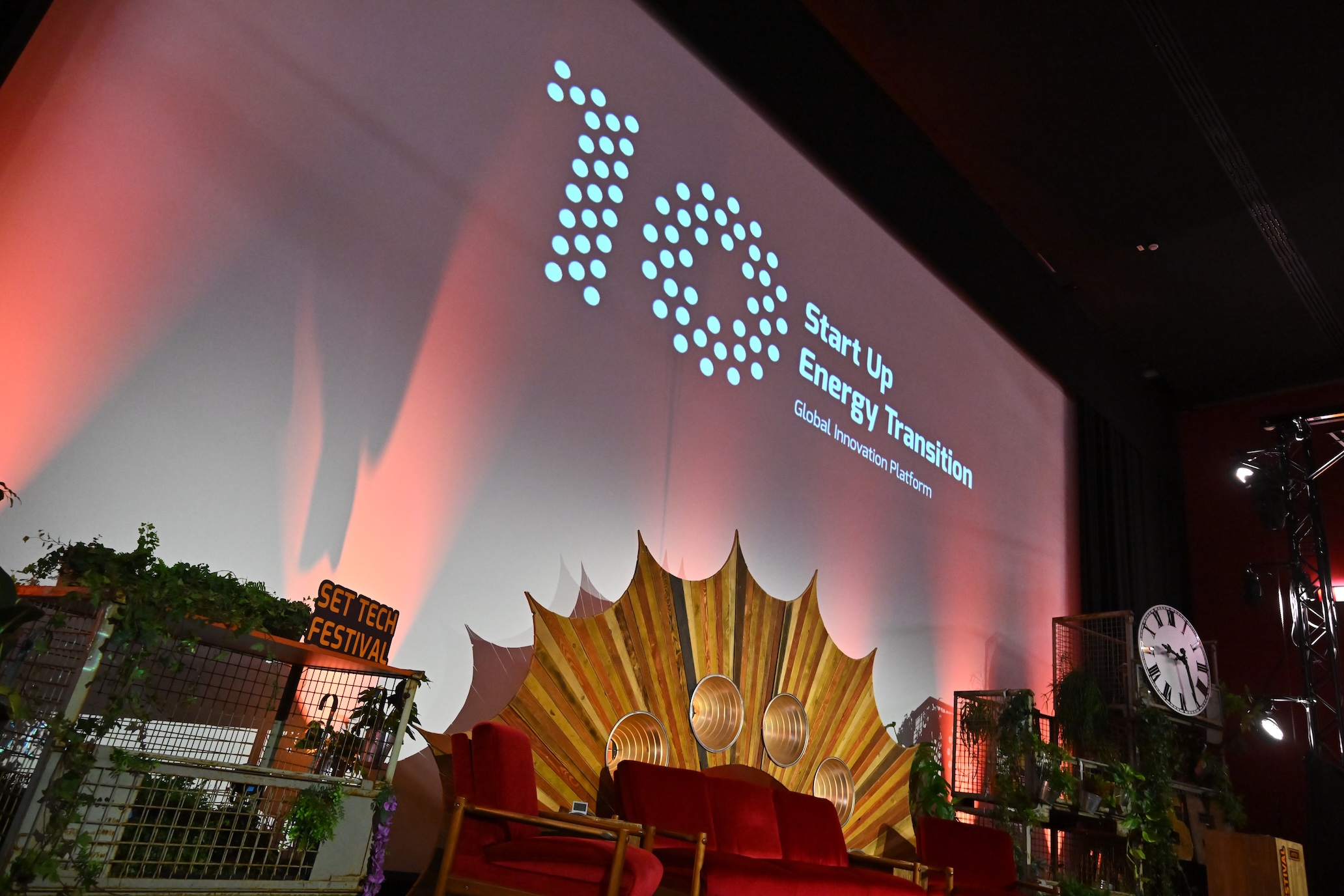
Connecting space to the energy transition at SET Tech Festival
March, 18 / 2026


Bringing cultural heritage to life with space technology
February, 16 / 2026


Space for SMART Airports Workshop
February, 9 / 2026