
Meet Britain’s Willy Wonka powered by Space
Small-scale creators are vital to the UK's economy and some of Britain’s Willy Wonkas are concocting their recipes in London.
At Entocycle, black soldier flies are bred on spent grain from local breweries to turn them into a high-protein meal for salmon – a possible replacement for the far more land-intensive soya beans.
People might be surprised to learn that Entocycle is "powered by space", as it uses assets like robotic automation, big data analysis, life support systems and scheduling protocols that have all been derived from the space industry.
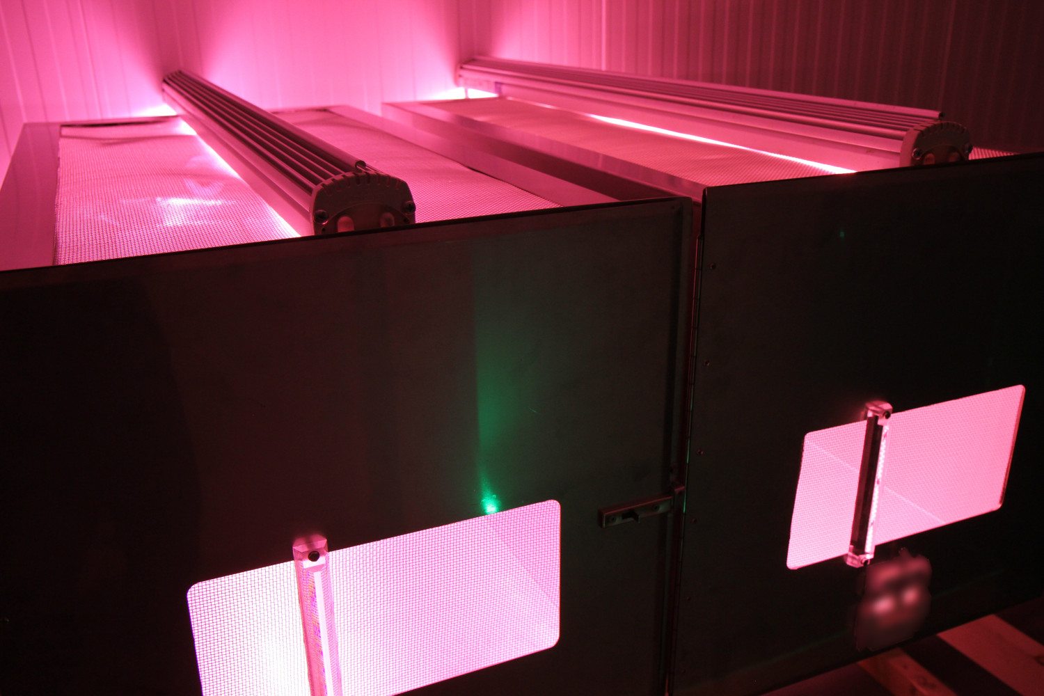
Entocycle is seeking to transform the $150 billion animal feed industry with an innovative technology that converts waste treatment costs into new revenue streams.
Community reference
Alba Orbital
Oxford Street 71
G5 9EP
United Kingdom

ESA & 5Groningen Opportunity
November, 10 / 2021
Digital Greenwich
Mitre Passage 6
SE10 0ER
United Kingdom

Blue SIROS
September, 4 / 2018
Defence Centre for Operational Oceanography
Lautrupbjerg 1
2750 Ballerup
Denmark
DTU Management Engineering
Produktionstorvet
2800 Kongens Lyngby
Denmark