Booker Tate Limited
Church Road
OX9 3FA
United Kingdom

Church Road
OX9 3FA
United Kingdom
Lange Gasse 16
1080 Wien
Austria
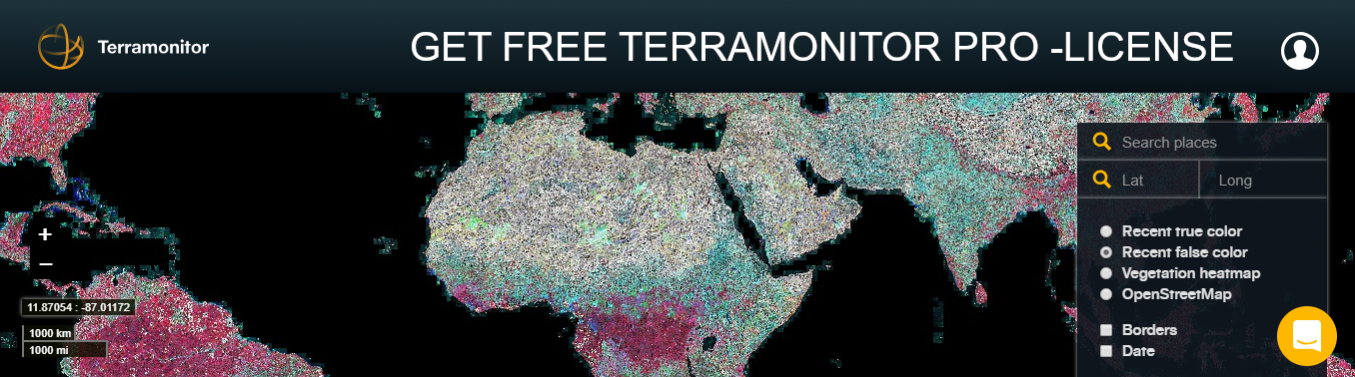
Terramonitor and ESA Business Applications are excited to offer the chance to receive a free license for Terramonitor Pro - enriched satellite-based maps.
Our goal is to provide accessible maps with minimal setup, and perform daunting preprocessing required by satellite data automatically.
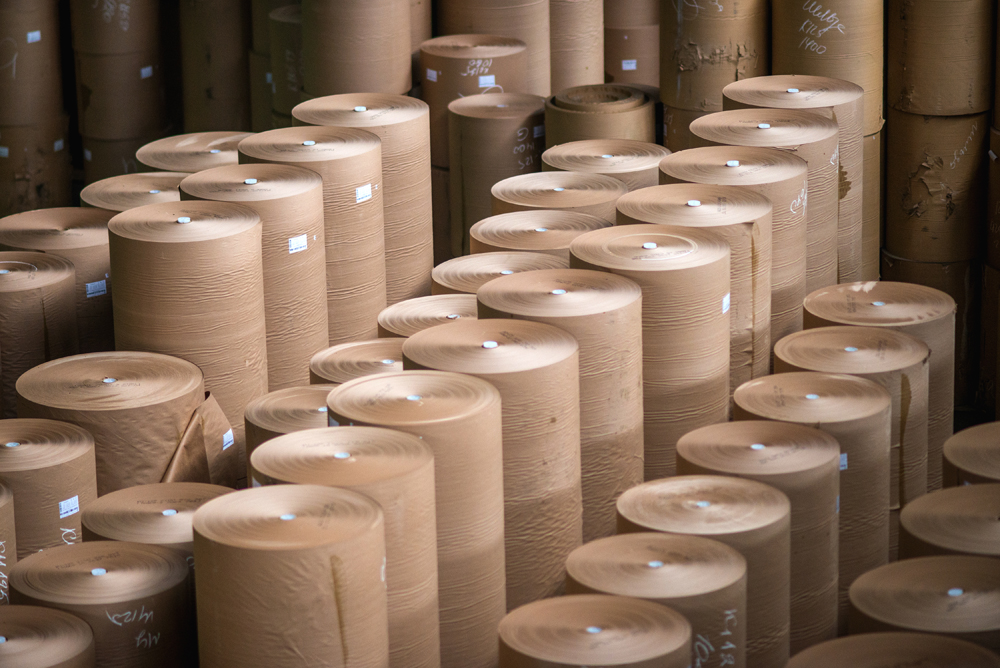
The pulp and paper industry is a sector which could benefit from the application of space-based data and technology. ESA-BA are currently running a kick-start opportunity for businesses looking to add value to the industry through applied space technology. Find out more about the opportunity and topics of relevance below.
Via Aniello Falcone 304
80127 Napoli
Italy