Travel Hands
United Kingdom

United Kingdom
Responding to this need, EDInsights developed an effective method using Earth Observation data to measure snow storage. Its accuracy and functionality have now been tested and fine-tuned with PowerEdge, a two-year pilot project with several hydropower producers in Norway, with the support of ESA’s Business Applications and Space Solutions (BASS) programme and the Norwegian Space Agency.
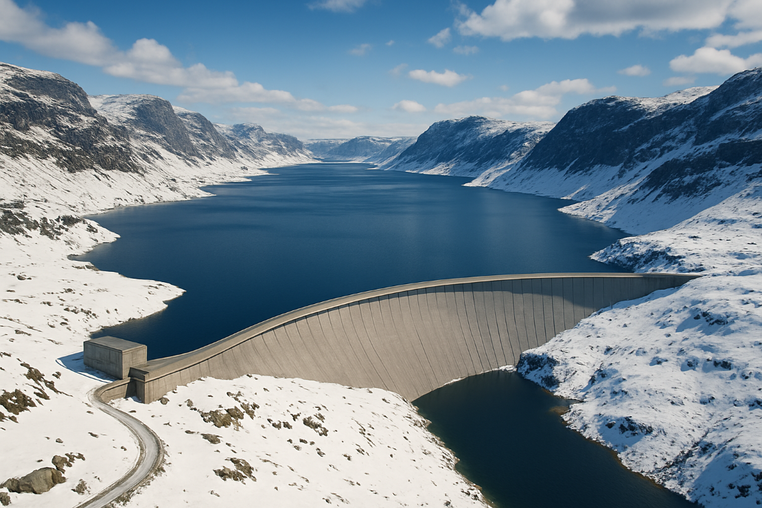
Electricity generation through hydropower is a highly valuable renewable energy source, thanks to its relatively low impact on the environment and its on-demand production capability.
In Nordic countries, a significant proportion of the water resource in hydropower basins is stored as snow through the winter. This creates a challenge for hydropower producers, as measuring snow storage is technically very difficult and expensive, as well as often not very accurate. Yet, as this snow is the supply of water available for future energy production, it is crucial to be able to measure SWE as effectively as possible to help manage risks of flooding and drought, and for power price forecasting and analysis.
By using satellite L-band radar measurements, PowerEdge showed that it is possible to retrieve physical measurements of the snow storage in an entire hydropower basin, at a specific point in time. No physical presence in the basin is needed and updates can be made multiple times a year.
The results and experiences from the PowerEdge project also confirmed that there is a need and a market for accurate snow storage measurements due to not only the challenges with physical snow measurements, but also those involving modelling of SWE using temperature and precipitation data.
“The ESA BASS programme has provided substantial value not only for our company but the entire hydropower industry in Norway and Sweden,” said EDInsights CEO Frano Cetinic. “It has helped us to operationally demonstrate that we can by use of space data efficiently provide snow storage data for 30+ basins. The ESA BASS programme has also enabled collaboration and knowledge sharing between hydropower producers.”
"PowerEdge exemplifies the significant value of utilising space assets to address complex challenges within the hydro energy sector" said Davide Coppola, Head of Space Applications Initiatives at the European Space Agency. “This project demonstrates the effective use of satellite data to enhance the efficiency and accuracy of hydropower producers' planning processes”.
“Utilising clean renewable energy is a priority for Norway, and we are excited to have supported the development of space-based services such as PowerEdge from EDInsights AS through the ESA BASS programme”, states Rune Sandbakken, Head of Satellite Communications at Norwegian Space Agency. “Innovative solutions are necessary to secure reliable access to clean energy moving forward, as well as managing risks of flooding and drought, with increasing challenges due to climate changes. PowerEdge is a clear example of the value satellite data and information brings to society, and how it helps us solve important issues, be it in Norway or other countries.”
The satellite SWE product has now been successfully commercialised to more hydropower producers, with a five-fold increase in the hydropower basins covered in the 2024/5 snow season and across the mountainous regions in Northern Sweden and Southern Norway.
With support from ESA, CollectiveCrunch has now developed a new tool to help protect biodiversity in forests more effectively. Today, the company’s ground-breaking offering is breaking 1 million EUR in revenue, and is expanding its operations from Finland to Sweden, the Baltics, Spain and the United States.
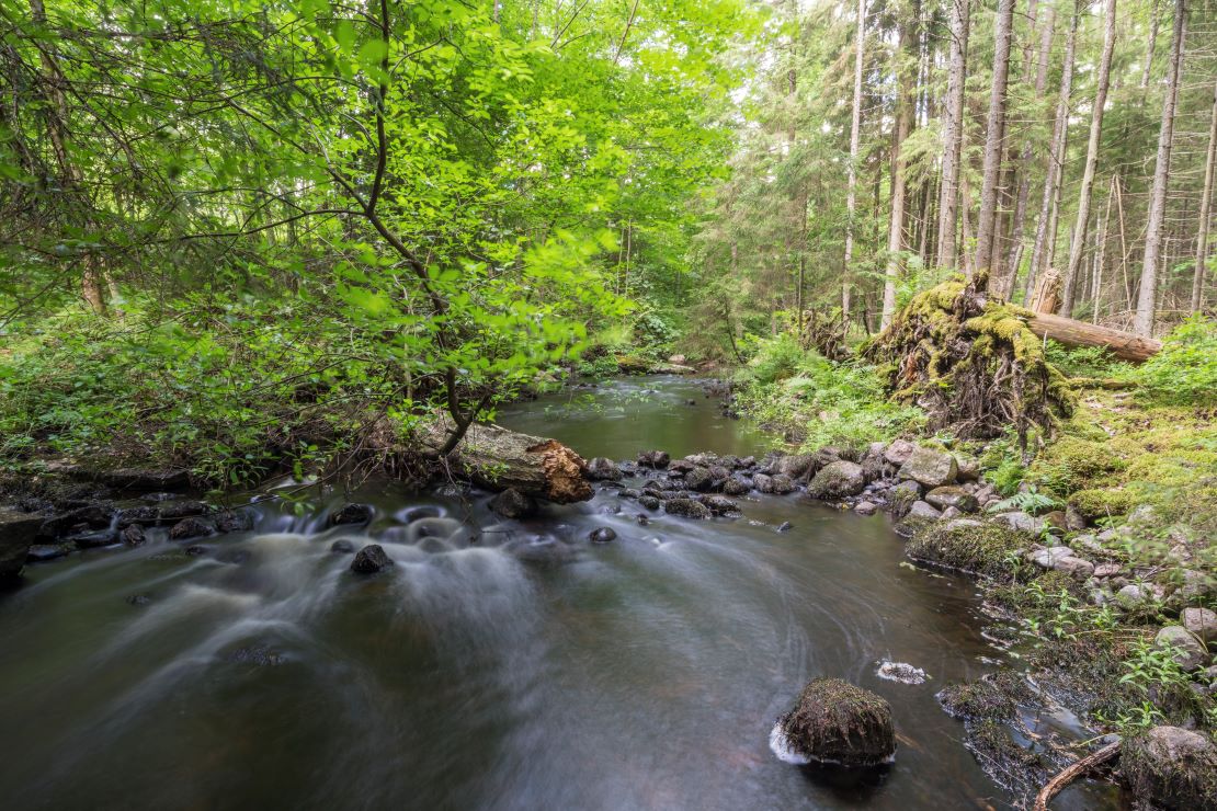
Measuring and protecting biodiversity in commercial forests has changed rapidly in recent years from being a nice-to-have to a must-have, led by a strong regulatory drive in Europe. CollectiveCrunch’s Kickstart initiative with ESA BASS uses 18 biodiversity indicators, combining Sentinel-2 satellite imagery with other data to assist forest managers in planning logging while identifying areas needing protection.
These indicators identify areas with higher biodiversity hot spots, including:
“Putting all these indicators together helps build a picture of where to log and operate to sustain cash flows from forests without spoiling areas of greatest biodiversity” said CollectiveCrunch CEO Juha Koponen. “There is an increasing regulatory drive, in addition to voluntary schemes such as FSC (Forest Stewardship Council) certification, which requires the conservation of a certain percentage of forests. Our practical tool helps forest managers spot the right areas to protect fast and correctly. These are vast areas, and the only way to really do this is with satellite technology and ESA’s support. With our Kickstart activity with ESA we have seen a lot of interest from forestry companies from several countries already – there is nothing like this available to them yet.”
CollectiveCrunch is going from strength to strength, with a revenue of approximately 950.000 EUR in 2024, and some 1.05 million EUR already achieved in orders in 2025 reflecting strong demand from international clients such as Spain’s ENCE, and Finland’s Metsä Group, StoraEnso and Metsähallitus. To support expansion, the company is also working to bring its solution to North America, which offers a great business opportunity for remote sensing-based forestry data products.
“Originally starting in 2019, this is a great example of the long-term support we provide to European businesses, leveraging transformative space-based solutions to address challenges here on Earth,” said Liz Barrow, Business Applications and Partnerships Officer at ESA. "It's great to see CollectiveCrunch succeed in developing innovative forestry solutions. Their work not only hits commercial goals but also helps create a more sustainable and resilient future by improving forest management and conservation."
Find out how ESA is supporting the bioeconomy
Sign up to our Bioeconomy Bulletin
Italy
France