Objectives of the service
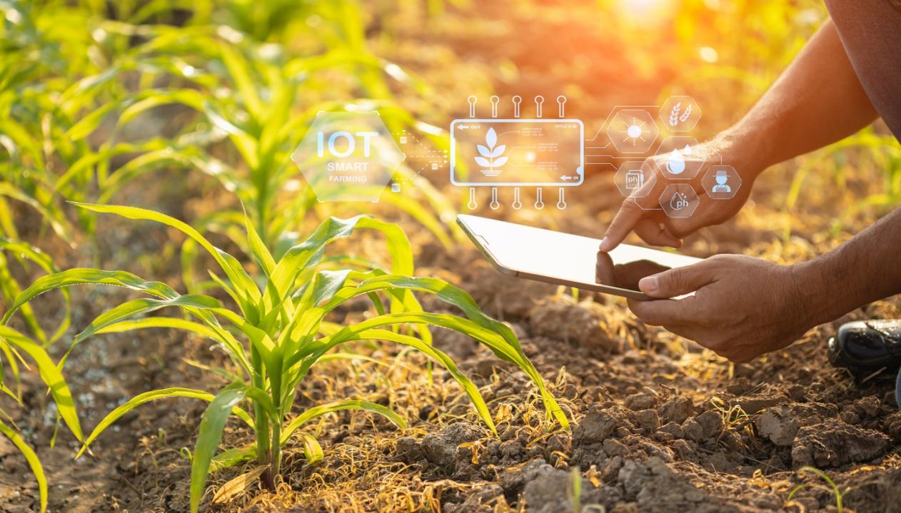
The service demonstrated in this project aims to provide farmers with continuous advice to optimize their irrigation practices, helping them adapt more effectively to water stress and changing climate conditions.
Our Irrigsat solution places knowledge at the core of farmers’ decisions on when and where to irrigate. Its fully automated insights enable farmers to monitor crop conditions, assess irrigation performance, reduce crop damage and yield loss, and save water while improving overall crop growth.
Users and their needs
Irrigated agriculture—already under pressure from rising demand and climate change—must now operate with increasingly scarce and regulated water resources. Farmers seeking to optimize their irrigation and save water, cooperatives supporting production, and agro industrial companies wishing to maintain operations near their existing facilities are all facing the same questions: How can we adapt? How should irrigation be managed? How can water reserves be planned and allocated? How can daily operations and tactical decisions be supported to schedule fields and crops for irrigation while reducing water use and maximizing crop performance?
To address these challenges, they need to be able to:
- Continuously monitor the water status of their agricultural plots, with up‑to‑date consumption data throughout the growing season
- Receive irrigation recommendations tailored to the specificity of each plot
- Analyze and demonstrate efforts to reduce water use, whether for internal assessment or external reporting
- Manage irrigation at scale, across multiple fields or production areas
Service/ system concept
Powered by satellites & Artificial Intelligence, Irrigsat combines satellite earth observations, soil moisture probes connected by satellite IOT, agronomic data and weather data in our referenced water model, to provide an ultra-accurate view of crop water demand at field level, and communicate automated water indicators to monitor satisfactorily irrigation.


Space Added Value
The tools leverage the latest satellite‑based technologies to deliver reliable information anywhere on Earth and generate innovative, actionable insights:
Satellite communication and navigation
Current water models lack accuracy due to the absence of precise, hyperlocal soil data (e.g., moisture and temperature at various depths). The availability of affordable probes is the first key element of our innovation. Timely data collection is ensured worldwide through the universal KINEIS satellite IoT communication protocol, provided via Argos Services and powered by CLS. Probes are used to continuously calibrate the model against ground‑truth measurements.
Earth observation satellites
The Leaf Area Index (LAI) derived from the Sentinel 2 optical imagery is the second key element of our innovation. This dimensionless indicator characterizes the vegetation growth and vigour, making it particularly suited to agricultural applications. It is freely available worldwide through the Copernicus Land Service.
Weather satellites
Accurate weather data—particularly precipitation and temperature—is essential for planning and adapting agricultural practices. This information is provided by standard meteorological services, with the option to integrate high resolution satellite based weather products when relevant. Weather satellites feed the numerical models that generate these forecasts. The choice of weather service depends on the country and the contractual framework in place.
Current Status
The project is now entering the pilot trial phase with farmers across Europe and South Africa, covering a wide range of crops and agronomic conditions. If you—whether a farmer, a cooperative, or a local authority—are interested in taking part in the demonstration, please contact your trusted partners, CLS and Abelio..
CLS is an international company that has been pioneering Earth observation and environmental monitoring solutions since 1986. Its mission is to design and deploy innovative technologies that help understand and protect our planet, while supporting the sustainable management of natural resources
Abelio is an AgTech company based in Toulouse, France, providing high value added agricultural consulting services aligned with strong CSR principles. Its goal is to support more economical and ecological production methods, simplify farm monitoring, optimize input use, and ultimately improve yields.

Prime Contractor(s)
Subcontractor(s)