



Objectives of the service
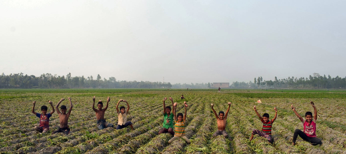
Fungal disease outbreaks in potatoes and tomatoes, are causing severe crop losses worldwide. Both potatoes and tomatoes are high-value cash crops that are essential to the livelihood of farmers in many regions in the world. Late blight (Phytophthora Infestans) is the largest cause of crop losses, where each year 5% on average of all potato production is destroyed worldwide with up to €10 billion of damages. AEODAS provides a solution in the form of a an actionable disease alert service that is based on satellite earth observation and weather data. Users receive alerts on when, where and what to spray which enable timely and accurate application of fungicide to prevent late blight.
Users and their needs
AEODAS targets industry players that can mitigate risks and increase their business by buying the service and offering it to their farmers throughout Asia. A decrease of late blight damage results in lower claim payouts for crop insurance providers, lower default rates for micro-credit lenders, an increase in crop quantity and quality for crop processors and a better service provision for crop protection providers. Bayer crop protection (India), ACA crop insurance (Indonesia) and Credit Union micro-finance (Indonesia) are involved in the project by providing logistical support and access to farmers for demonstrating AEODAS in the field.
Service/ system concept
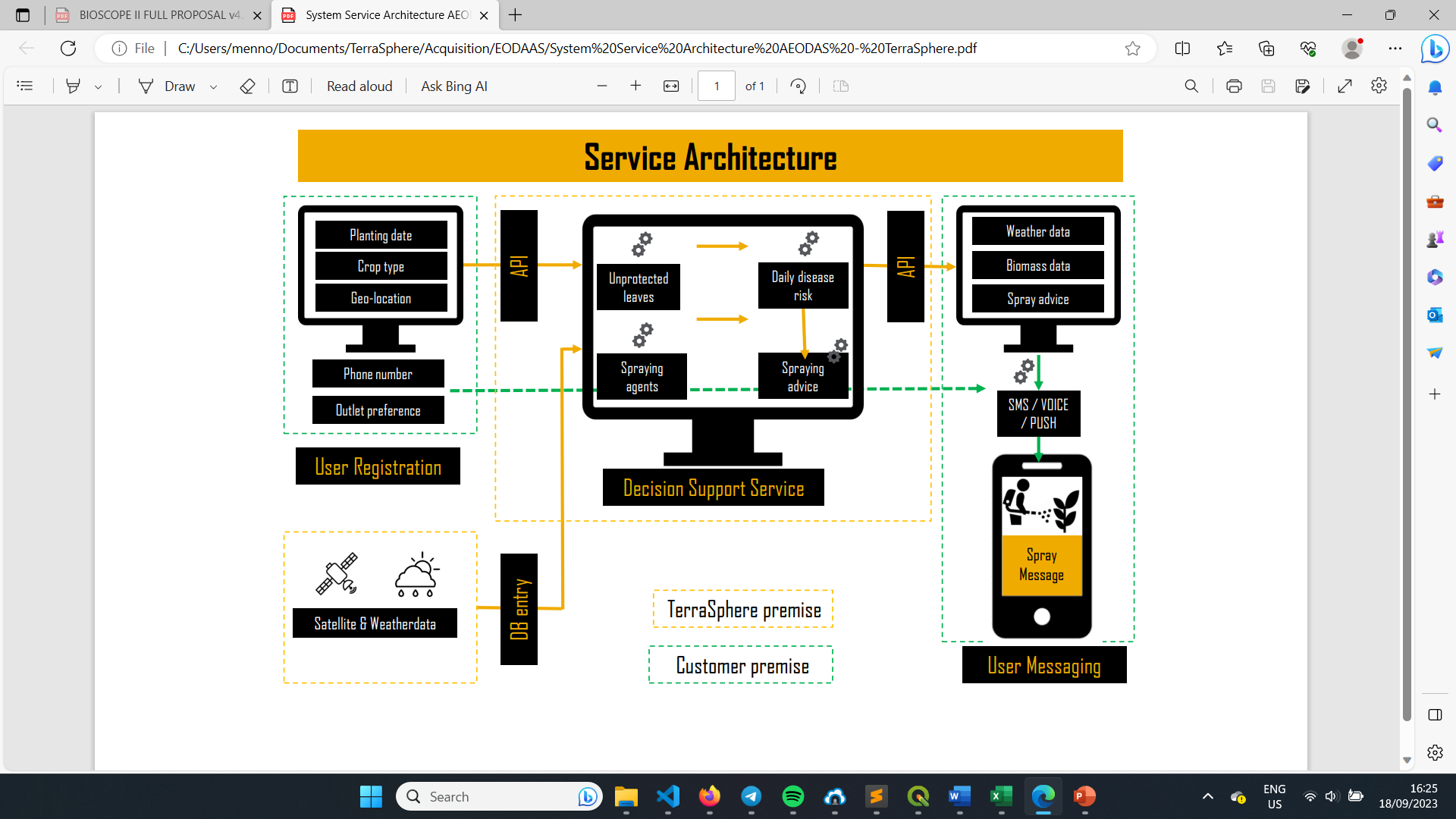
AEODAS integrates satellite observations, weather data and disease risk modelling to deliver field-specific disease risk assessments and crop management recommendations. Users are registered through an onboarding where characteristics and field location are submitted through our platform or a client App like FarmRise from Bayer. The decision support module further requires satellite imagery and weather data. Weather information is automatically retrieved from external providers and stored in a database for disease risk modelling. Satellite imagery is processed to derive accurate Leaf Area Index (LAI) values, providing a reliable proxy for crop biomass increase. The weather data, LAI, and pathogen-specific information are combined to calculate disease risk and determine whether treatment is required. If necessary, the system recommends the appropriate control agent and dosage. Results are delivered through a dashboard to customers, after which they are distributed via SMS and WhatsApp messages to farmers. The solution runs on fully scalable cloud infrastructure, allowing for industrial-scale deployment over multiple countries and crops.
Space Added Value
Satellite earth observation data is a major input that feeds into the disease risk model and drives the spray advice. The green above-ground biomass is monitored during the growing season and the unprotected leaf area calculated. Weather data parameters and forecasts are also essential to the calculation of disease risk, as the fungal disease outbreak risk is largely correlated with certain values of temperature, wind, and relative humidity. These are derived partly from satellite sensors. The use of satellite data makes AEODAS unique in its offering and better suited for localised and detailed disease risk alerts than more general services available on the market.
Current Status
Based on inputs from customers and discussions with users over the past few months in Indonesia and India, the system design and service architecture has been finalised. The service elements are now about to be tested in laboratory settings based on a test plan. When all tests are passed successfully, operational trials will follow later this year. AEODAS is preparing trials in at least two different locations in Indonesia and India together with our launching customers on a number of potato and tomato fields. For this, AEODAS-treated fields will be compared with control-fields in terms of late blight damage and crop yield differences.
Prime Contractor(s)
