Objectives of the service
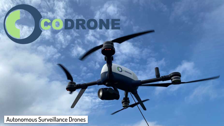
Critical infrastructure operators need reliable ways to monitor large, sensitive, and often hard-to-access sites without increasing operational risk, staffing demands, or regulatory complexity. Manual patrols and fixed cameras can leave coverage gaps, while conventional drones are limited by battery endurance, radio communication constraints, and operational approval requirements.
GAINS provides a persistent autonomous drone service for infrastructure monitoring. The service combines Galileo High Accuracy Service for precise positioning, a tethered safety system for continuous power and constrained flight, and visual and thermal payloads for live situational awareness and documentation. This enables operators to detect incidents, inspect assets, and collect operational evidence from an aerial perspective while reducing the need for manual inspections in exposed areas.
CODRONE provides the system as a managed service, including installation, operation, maintenance, data handling, and support for regulatory compliance. The project demonstrates the service with users across transport, energy, telecom, and emergency response environments.
Users and their needs
The targeted users are critical infrastructure operators in Denmark, with later expansion to similar users across Europe. The project involves users from transport, energy, telecom, and emergency management, including railway, airport, utility, telecom, and public authority environments.
Their main needs are:
- Continuous monitoring of large or sensitive operational areas.
- Faster detection of trespassing, vandalism, faults, and abnormal events.
- Visual and thermal situational awareness during incidents.
- Reliable aerial inspection without frequent battery changes.
- Safe drone operation in restricted or safety-critical environments.
- Documentation that supports compliance, reporting, and decision-making.
The main challenge is that each user environment has different operational constraints. Airports and railways require strict safety procedures and coordination with existing operations. Utility sites require reliable inspection of physical assets and thermal anomalies. Telecom sites may be remote and have limited connectivity. Emergency response users require rapid deployment and robust live data.
GAINS addresses these needs by demonstrating a tethered autonomous drone service that can be adapted to each site while maintaining a common service model, safety approach, and data workflow.
Service/ system concept
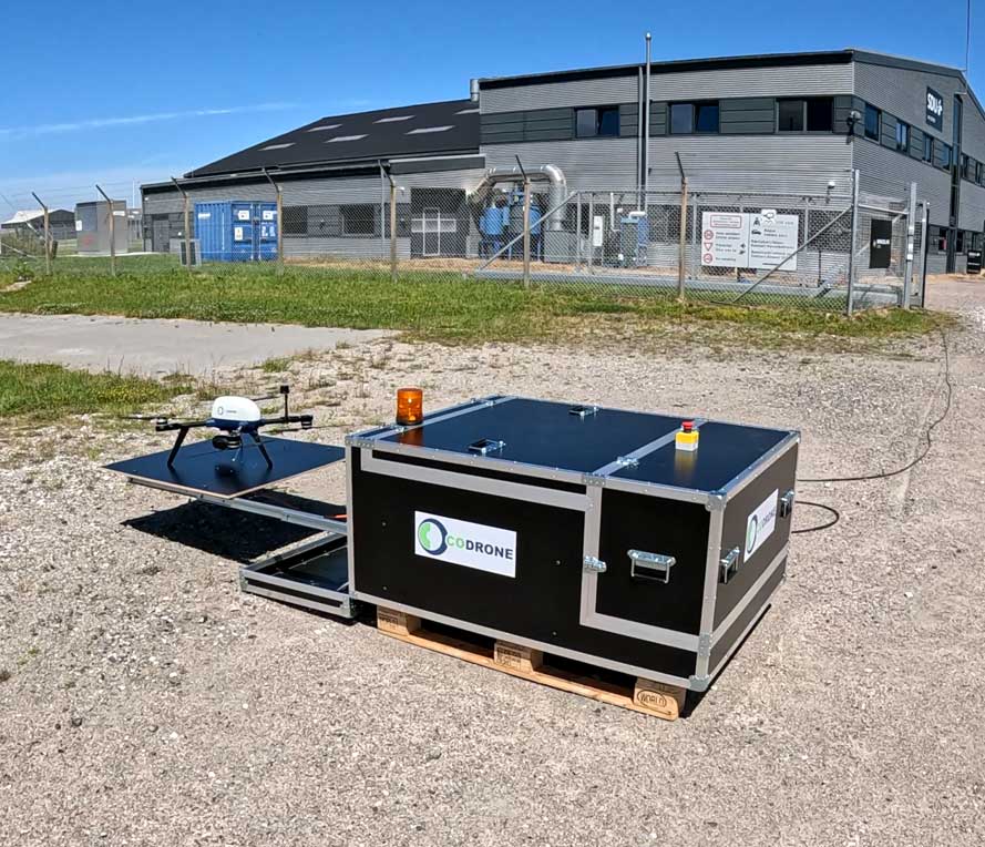
GAINS supplies users with live aerial monitoring from a tethered autonomous drone deployed from a fixed drone dock. The user receives live visual and thermal video, positioning information, operational alerts, and recorded documentation that can support inspection, security monitoring, and incident response.
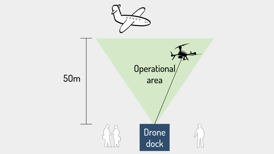
The system works by launching the drone from its dock and keeping it physically connected through a tether. The tether supplies continuous power, provides a secure data connection, and limits the flight area so the drone remains inside a controlled operational volume. This enables persistent monitoring without repeated battery changes and reduces the risk of the drone leaving the approved area.
Galileo High Accuracy Service is used to support precise positioning, especially where local correction infrastructure is unavailable or unreliable. The drone carries visual and thermal payloads and sends data through the tether and ground system to the CODRONE service centre and user terminal. From there, operators can view live feeds, follow events, access stored documentation, and use the information for operational decisions.
The attached diagram illustrates the core concept: a drone dock, a tethered drone, and a defined operational area.
Space Added Value
GAINS uses Galileo High Accuracy Service as the key space asset. The service provides satellite-based high-accuracy positioning without relying on local base stations or terrestrial correction infrastructure. This is important for critical infrastructure sites where Real-Time Kinematic coverage may be unavailable, unreliable, or difficult to install.
Compared with standard drone positioning, Galileo High Accuracy Service supports more precise and repeatable navigation. This helps the drone maintain controlled flight paths near infrastructure, return reliably to the dock, and document where observations were made. It also strengthens the safety case for operations in restricted or sensitive environments, where predictable positioning and geofencing are important.
Many existing drone solutions depend on standard GNSS, local RTK systems, short battery endurance, or radio-based data links. GAINS combines Galileo High Accuracy Service with tethered power, physical containment, and secure data transfer through the tether. This combination supports persistent, safer, and more precisely located aerial monitoring for infrastructure operators.
Current Status
GAINS is now underway following the formal project start and the first milestone meeting the BDR has been completed in July 2026. CODRONE is working with critical infrastructure stakeholders to refine the first use cases for autonomous aerial monitoring, including transport, energy, telecom, and emergency response environments.
The technical team is developing the drone platform, tethered dock, precise positioning setup using Galileo High Accuracy Service, and visual and thermal monitoring capabilities. In parallel, CODRONE is preparing the first public project material and planning how the service is demonstrated in real operational settings.
The next step is to complete the initial service definition and prepare for the first design review.
Prime Contractor(s)