


Objectives of the service
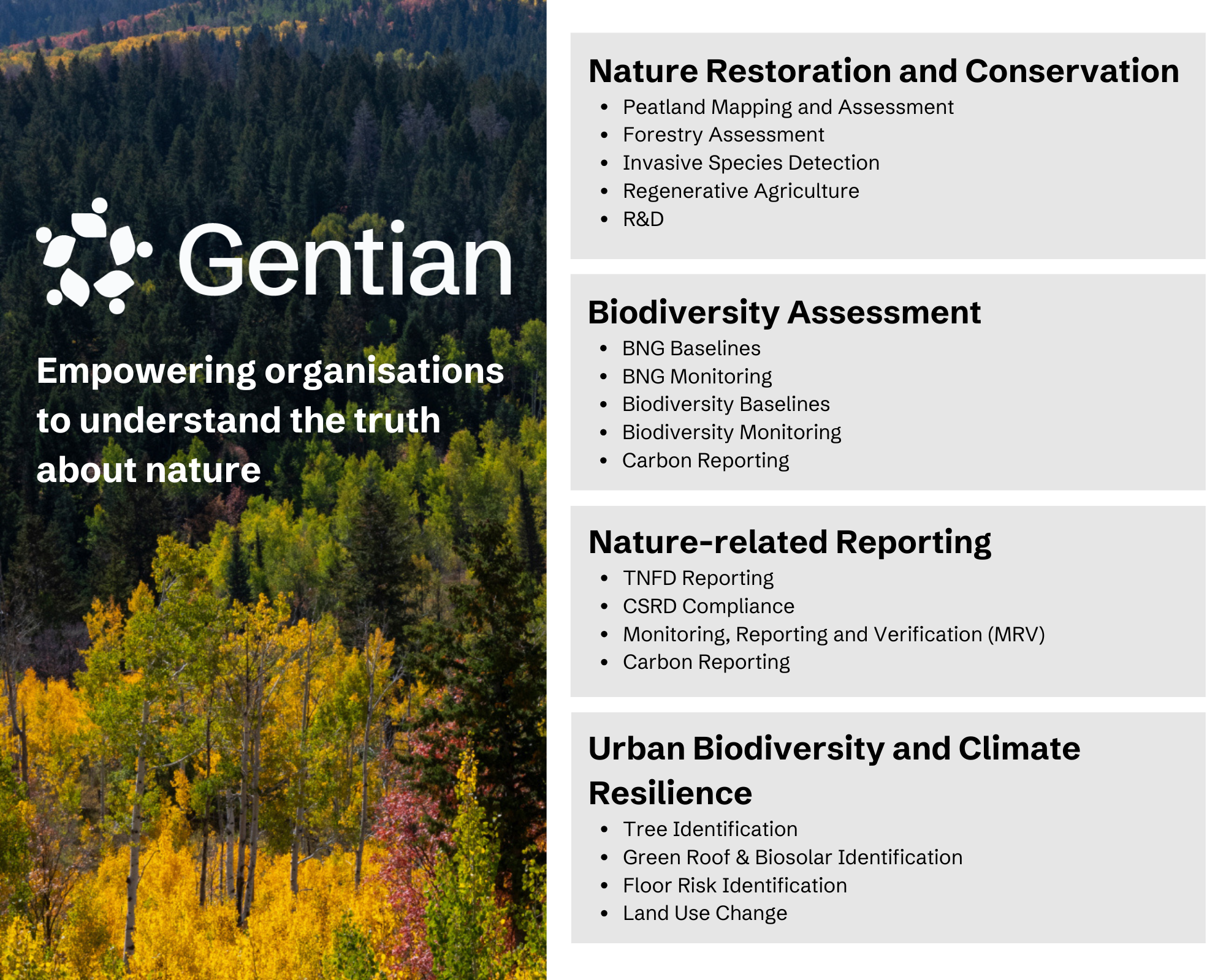
Biodiversity loss is one of the greatest challenges of our time. Businesses, governments, and organizationsmrequire timely, high-quality data to meet Global Biodiversity Framework targets, regulatory requirements, and sustainability commitments. Yet, current ecological assessment methods, including e-DNA, remain costly, inconsistent, difficult to apply for long term monitoring and difficult to scale.
Gentian combines two of the latest technologies to address this challenge by:
-
Automating ecological surveys with AI-driven habitat classification models trained on Very High Resolution satellite imagery.
-
Delivering assessments in formats aligned with biodiversity reporting frameworks and regulations such as UK Biodiversity Net Gain (BNG), the Taskforce on Nature-Related Disclosures (TNFD), and the EU Corporate Sustainability Reporting Directive (CSRD).
-
Providing rapid, scalable insights that support urban planning, corporate sustainability strategies, and biodiversity conservation initiatives.
-
Empowering decision-makers with fast, data-backed intelligence to assess nature-related risks, and opportunities.
Users and their needs
Gentian’s remote ecological surveys provide essential insights for diverse stakeholders:
Municipalities & Local Authorities
● Require accurate, up-to-date data for green infrastructure planning, biodiversity restoration, and climate resilience strategies.
● Benefit from Gentian’s urban assessments, including Green Roof Identification and Private Garden Surveys which enables planning for sustainable urban environments.
Ecological and Engineering Consultancies
-
● Instructed by clients to assess biodiversity baselines and plan biodiversity net gain on new developments, including nationally significant infrastructure projects (NSIPs)
-
● Use Gentian’s remote surveys to shorten biodiversity baselines timelines, identify planning risks earlier and reduce cost and labour.
Global Land Developers
-
● Require accurate, up-to-date data to screen and compare sites globally before acquisition and identify ecological risks early to avoid regulatory, reputational, and financial liabilities.
-
● Utilise Gentian’s automated habitat mapping for assessing nature-related risks and portfolio-level reporting for sustainability disclosures (e.g. TNFD, CSRD).
Service/ system concept
Gentian provides an end-to-end remote ecological survey platform, delivering precision-driven biodiversity insights through an intuitive online interface.
How it Works:
-
Users define an area of interest via an interactive map.
-
Gentian’s AI-powered analysis classifies habitat types using high resolution satellite imagery.
-
Results are delivered within minutes to days (depending on the product), including interactive maps, biodiversity metrics, and GIS-ready datasets.
Key Features:
-
Automated AI-driven habitat classification aligned with global biodiversity reporting standards.
-
Integration with TNFD, BNG, and CSRD frameworks.
-
Multi-scale analysis from urban microhabitats to large-scale ecosystems.
-
Easy access to data via a web based application for visualisation and download of data and custom reporting.

Space Added Value
Gentian leverages Very High Resolution satellite imagery to provide a scalable, automated alternative to traditional ecological surveys. Unlike conventional methods, which rely on ground-based assessments,
Gentian’s approach has the following advantages :
-
Global solution
-
Scalable
-
Cost effective
-
Consistent, repeatable, and objective habitat mapping (removes subjectivity)
-
Data solution for hard-to-access locations, including wetlands, peatlands, urban environments.
-
Accurate, results have been validated by customers and found to be 97% similar to manual results
-
Ideal for long term monitoring and change analysis
Current Status
Gentian has successfully completed pilot deployments and is scaling its operations to deliver commercial biodiversity monitoring solutions on a global scale.
Demonstration Project milestones included:
- Urban biodiversity assessments completed in the UK, Europe, North America and Japan.
- Development of a new nature risk assessment tool enabling site-specific assessment and global comparisons.
- Creation of a new API enabling seamless integration of Gentian data into third-party platforms and mobile apps.
Gentian has gained recognition by being nominated for multiple innovation awards, including the EarthPrize 2024 & 2025 and recognition as a Top 17 Global Innovator for Biodiversity by the World Economic Forum Uplink Programme in 2024.