ESA to hold Space for Intermodal Transport Workshop in Dudley in March
Space for Intermodal Transport Workshop
![]()
This event is being held in partnership with BCIMO as part of the Clean Futures Catalyst which aims to support transport-related businesses through an extensive programme of free events.
Join us in Dudley, West Midlands, UK for this free in-person workshop.
In March 2025, the European Space Agency will launch an exciting funding opportunity called Space for Intermodal Transport. This initiative is designed to support studies and projects that harness satellite data to revolutionise intermodal transport.
Join us at this workshop to dive into the Space for Intermodal Transport opportunity. This event will bring together innovative solution developers and stakeholders who are eager to enhance their intermodal transport operations. It's a unique chance to exchange ideas, forge partnerships, and drive the development of cutting-edge solutions that will shape the future of intermodal transport.
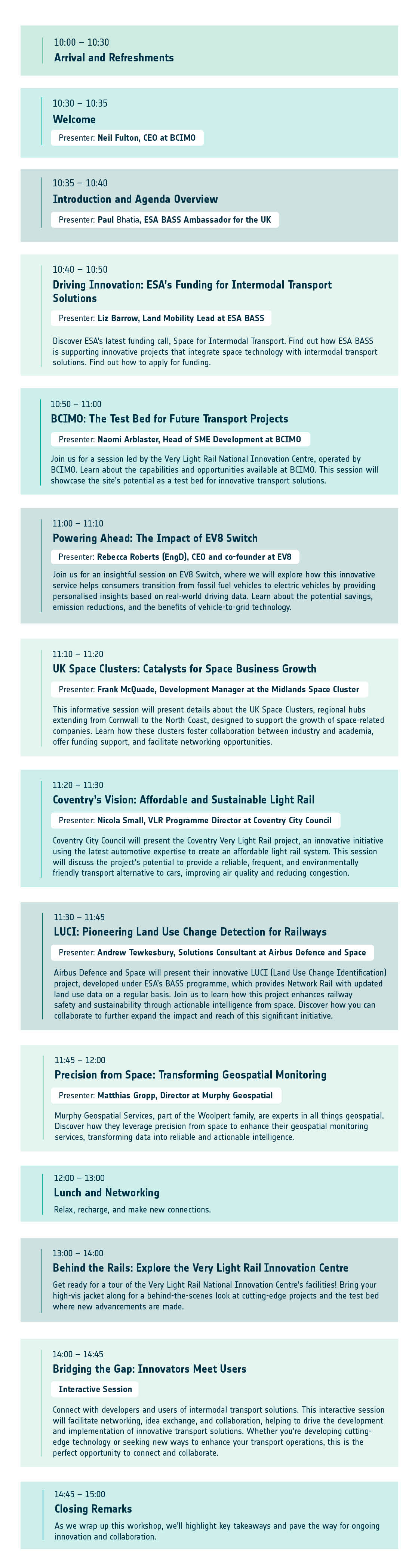
Agenda
What is Intermodal Transport?
Intermodal transport is an innovative approach to moving goods using multiple modes of transportation, such as trucks, trains, ships, and planes, without handling the goods during transfers. This method can not only enhance efficiency and flexibility but can also promote environmental sustainability. By seamlessly integrating various transportation modes, intermodal transport can reduce congestion, lower emissions, and optimise the overall supply chain, making it a smarter and greener choice compared to traditional methods.
What Ideas will we support?
We are looking for innovative ideas that leverage space data and advanced technologies to enhance intermodal transport. This includes solutions that address environmental sustainability, efficiency, flexibility, and safety. Examples of supported ideas include:
- Environmental Sustainability: Reducing road congestion and optimising transport choices to minimise emissions.
- Efficiency and Flexibility: Implementing advanced tracking systems and demand-responsive transport models to create seamless and cost-effective operations. Using GNSS and IoT devices for real-time updates on the location of passengers and goods can propose alternative transport combinations.
- Safety: Ensuring reliable communication in low-connectivity areas and minimising handling of goods to reduce risks of theft or damage.
We seek business ideas that showcase market potential, viable service concepts, technical feasibility, and value from space data or technology.
Why are we holding this Workshop?
Intermodal Transport presents numerous challenges, including coordinating various modes of transportation, ensuring standardisation, managing tracking, and collaborating with stakeholders. This workshop aims to bring together diverse participants to explore how space data and advanced technologies such as automation, AI, cloud computing, and blockchain can be integrated to innovate business processes and create seamless intermodal transport systems. The goal is to brainstorm ways to improve overall supply chains in terms of flexibility, speed, and costs, while also contributing to the decarbonisation of freight transport. Additionally, the workshop aims to facilitate matchmaking between solution developers and stakeholders.

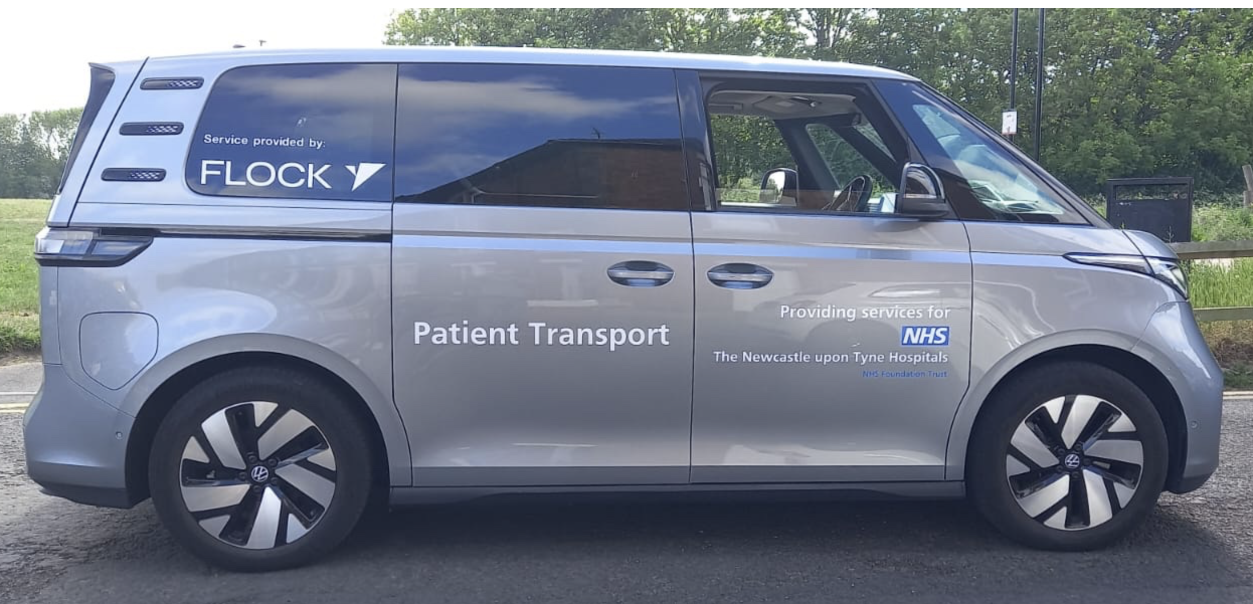 Workplace transport is typically fragmented, inefficient and costly. UK company
 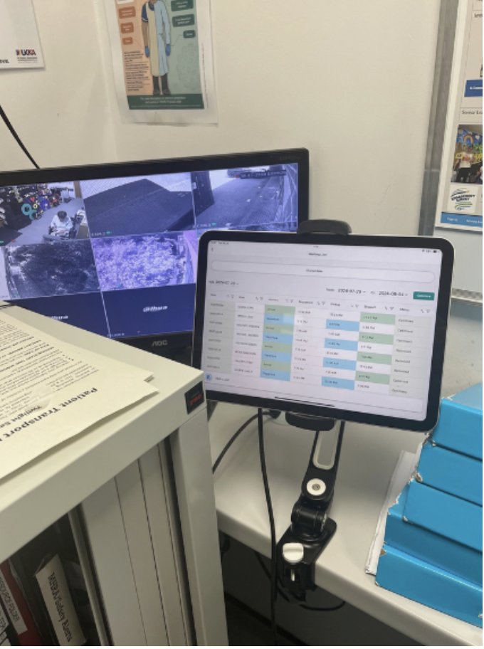 The pilot activity demonstrated that this service can provide more than 75% of patient transport for the participating departments, equating to over 900 rides a month. In addition, their two dedicated electric vehicles saved 24 tonnes of CO₂ across the year, contributing to NHS targets to reduce emissions by 80% by 2032.
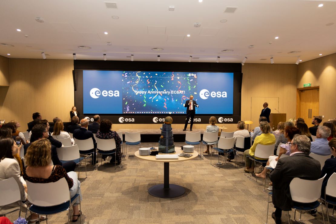 The UK was in the spotlight last week as the UK Space Conference took place in Manchester. Always an important date in the space calendar, this year was no exception with astronauts, enthusiasts, space tech experts, engineers, researchers and many more converging on the city for the biennial event. The two-day conference was part of a busy week in the UK for ESA’s Director General Josef Aschbacher, who also celebrated the tenth birthday of ESA’s European Centre for Space Applications and Telecommunications (ECSAT) on Tuesday.
 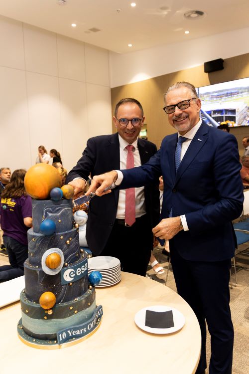 ESA’s ECSAT site is one of ESA’s best kept secrets. Named after Roy Gibson BEM, the first Director General of ESA, and based at Harwell in Oxfordshire, it is small but perfectly formed and is expanding rapidly. It sits at the gateway of the Oxford-Cambridge Arc, a world-leading centre of excellence for innovation and technology, and with the UK driving commercialisation in the space sector, it is no coincidence that it is the home of ESA’s largest commercial programme, Business Applications and Space Solutions (BASS).