Collaboration between the space sector and industry is key to ensuring that space-based technology delivers real-world benefits. To strengthen this connection, the European Space Agency’s Business Applications and Space Solutions (BASS) programme has recently hosted a secondee from DNV as part of a new bilateral exchange initiative. The arrangement enables professionals to work across the two organisations, sharing expertise and exploring how space-based technologies can solve real-world challenges. An ESA secondee to DNV is also planned as a next step in the collaboration.
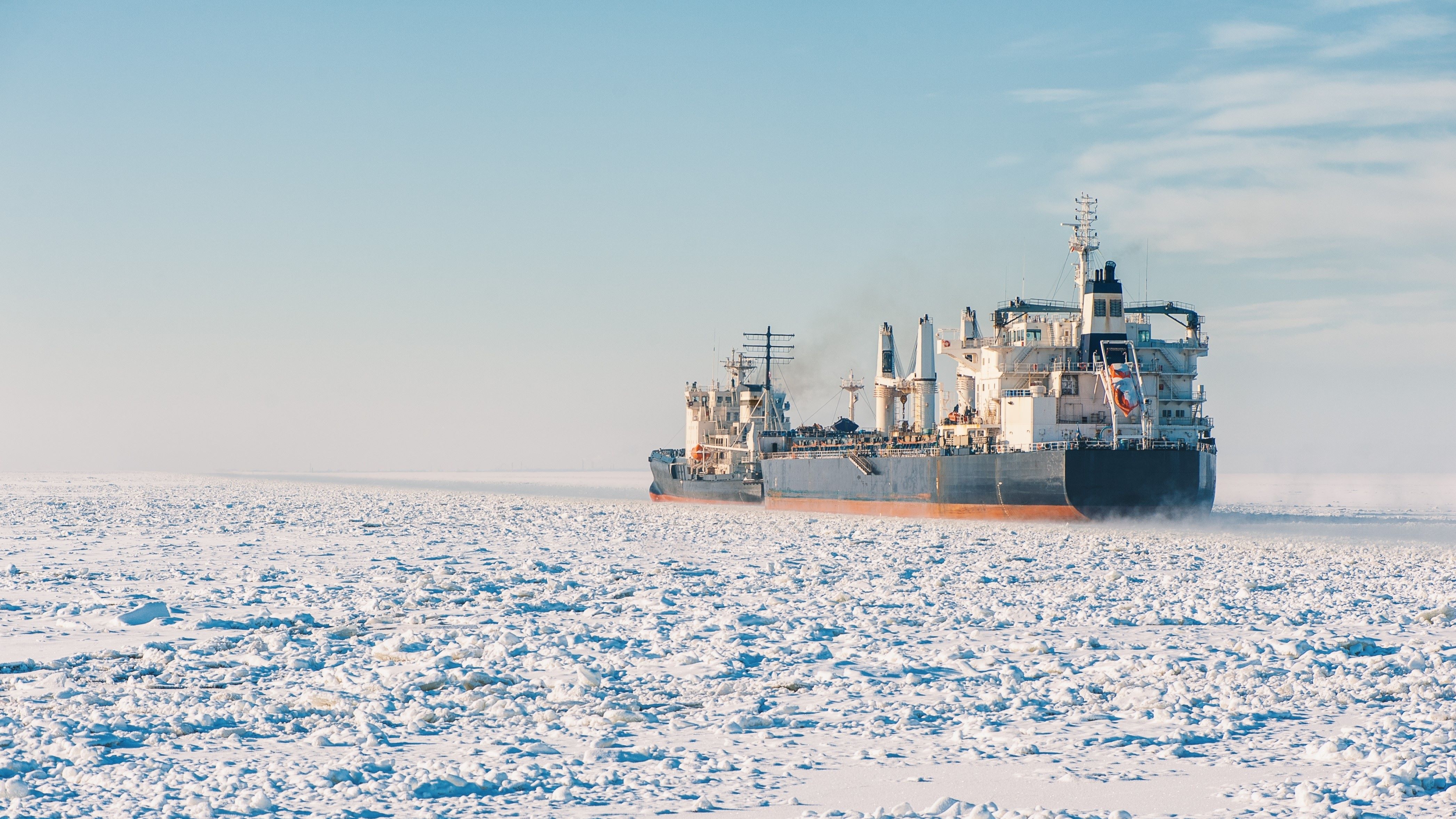
Haakon Molvig from DNV was the first secondee within ESA’s BASS programme, and he used his time at ESA to explore how satellite data can enhance navigation, safety and efficiency for Arctic transportation, as well as regulatory compliance in one of the world’s most extreme environments. He also explored how space data could support compliance with environmental regulations, particularly in tracking emissions and reducing pollution in the Arctic.
Haakon's work at ESA explored the benefits of using satellite data to help vessels plan safer and more efficient routes, reducing fuel consumption and the risk of accidents caused by unpredictable ice movement. Current ice charts are updated daily but cannot capture sudden changes in ice conditions. Satellites however can provide low latency data, allowing vessels to navigate more safely and efficiently. Increased connectivity in the Arctic could further enhance these capabilities, enabling continuous access to vital navigation and environmental data.
His findings reinforced the need for faster, more responsive ice navigation tools, as well as the role of satellite connectivity in improving operational efficiency. With data from satellites, Arctic shipping operators could reduce risks to personnel and vessels with the introduction of space-based technology. Haakon's secondment also provided ESA with valuable industry insights into Arctic shipping, while DNV explored new applications of space technology for maritime safety and sustainability.
Bringing industry into the BASS programme helps bridge the gap between space technology and key commercial sectors, providing a structured way for external experts to contribute their knowledge and gain valuable insight into space applications and helping to define use cases for space applications. Importantly, this type of secondment is not intended for seasoned experts, but for early-career professionals with strong potential. The goal is to develop new competences and broaden understanding—both of space-based applications and the needs of industry sectors like maritime.
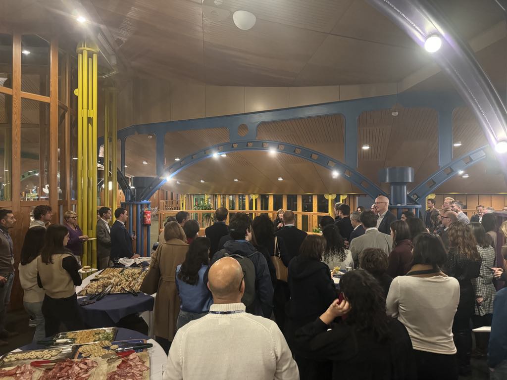
Haakon Molvig had the opportunity to attend conferences and events while on secondment at ESA
"Working at ESA was eye-opening to the opportunities space offers across industries,” said Haakon. “Satellite services are embedded in our everyday lives, but we rarely ever think about them. It was especially insightful working with Nil and other ESA professionals to map out the satellites and constellations that could enable future services in Arctic shipping: services we may one day take for granted in the same way. This experience has been invaluable and will stay with me as I analyse new business opportunities."
The bilateral exchange enhances collaboration between space and industry. Future secondees could explore how space-based solutions can address sector-specific challenges, helping businesses adopt satellite technology while giving ESA valuable industry insights.
"Haakon’s secondment demonstrated the value of bringing industry expertise into ESA, showing how space-based solutions can address sector-specific challenges,” commented Nil Angli, Business Application and Partnerships Officer at ESA. “This framework is designed to foster exactly these kinds of collaborations, where industry experts to work alongside ESA teams to develop innovative applications for space technology.”
Haakon's secondment is an example of how targeted industry engagement can support innovation and help translate space capabilities into practical solutions on Earth. By connecting early-career professionals with ESA teams, the initiative accelerates knowledge exchange and ensures ESA continues to develop technologies with real-world impact.
Collaboration between the space sector and industry is key to ensuring that space-based technology delivers real-world benefits. To strengthen this connection, the European Space Agency’s Business Applications and Space Solutions (BASS) programme has recently hosted a secondee from DNV as part of a new bilateral exchange initiative. The arrangement enables professionals to work across the two organisations, sharing expertise and exploring how space-based technologies can solve real-world challenges. An ESA secondee to DNV is also planned as a next step in the collaboration.