Origin Tech Ltd
Unit 3 Earlsway Trade Park Earlsway Team Valley Trading Estate
Gateshead
NE11 0QG
United Kingdom

Unit 3 Earlsway Trade Park Earlsway Team Valley Trading Estate
Gateshead
NE11 0QG
United Kingdom
The Digitising Water Resilience Monitoring in Basins initiative, developed under ESA's Business Applications and Space Solutions (BASS) programme in partnership with the CEO Water Mandate’s Water Resilience Coalition (WRC), aims to support digital and space technology partners to develop water resilience monitoring capabilities. The first batch of projects selected are leveraging space-based data to visualise real-time basin diagnostics and monitor progress on water security and resilience. The projects will further develop AI and IoT technologies for better in-situ data collection for water quantity, water quality, water access and sanitation, and hygiene (WASH) systems. These inaugural projects represent an important milestone in the digitisation of critical information about the world’s water resources to enable more precise monitoring of at-risk freshwater basins which are an essential resource to billions of people, ecosystems, and industries.
Currently, two billion people around the world live in water-stressed environments. Climate change is accelerating global risks of water availability, water quality and equitable water access. By 2050, more than half the world’s population could live in water-stressed areas if urgent action is not taken to achieve global water resilience.
“Collecting data on the health of water basins and the changing sources of water risk is key to building water resilience. Satellite earth observation and digital technology advancements present an opportunity to exponentially advance our work on water stewardship”, said Jason Morrison, President of the Pacific Institute and Head of the CEO Water Mandate. “We are excited about this partnership with ESA and the collaborative projects involving space and digital technology”.
These first inaugural projects have been two years in the making. At COP26, ESA and CEO Water Mandate established their collaboration to connect digital and space technologies to water. The Digitising Water Resilience Monitoring in Basins Call was also officially launched at COP27. Now, at COP28, ESA and CEO Water Mandate continue to focus on the opportunities space technology could bring to aid in water-related climate action initiatives.
“We are very pleased to see the fruits of our collaboration with CEO Water Mandate," said Rita Rinaldo, Head of Applications Projects and Studies Division at ESA. "These projects demonstrate how much untapped potential space technology has to offer in the climate crisis. Without it, monitoring essential areas and acting effectively to mitigate climate challenges like water stress becomes less feasible. We look forward to supporting these exciting projects in the months ahead.”
Through its BASS programme, ESA is at the forefront of supporting companies utilising space for the green transition, with almost half of all its activities dedicated to addressing the challenges of climate change. These planned projects roll out in 2024-2025 and will play a key role in ESA’s mission to establish a more sustainable future on Earth using space assets. The CEO Water Mandate’s Water Resilience Coalition initiative is bringing the deep innovation expertise of business to water and climate solutions. These projects demonstrate a new opportunity to leverage the most advanced technologies and innovations for water in the face of climate change.
ESA and the CEO Water Mandate will continue to collaborate on water related challenges with the aim of multiplying the impact and promoting the wide adoption of integrated space and digital solutions developed by the selected projects.
Ludwig-Erhard-Straße 6
84034 Landshut
Germany
Glatec, Überlandstrasse 129
8600 Dübendorf
Switzerland
Oranienstrasse 183 2Hof, Aufgang A, 2OG
10999 Berlin
Germany
The partnership is aimed at fostering and supporting the development of innovative space-based applications to accelerate purposeful innovation to address the challenges of the energy industry and energy infrastructure. The partnership will foster cross-industry collaboration with a range of stakeholders in the energy sector and beyond.
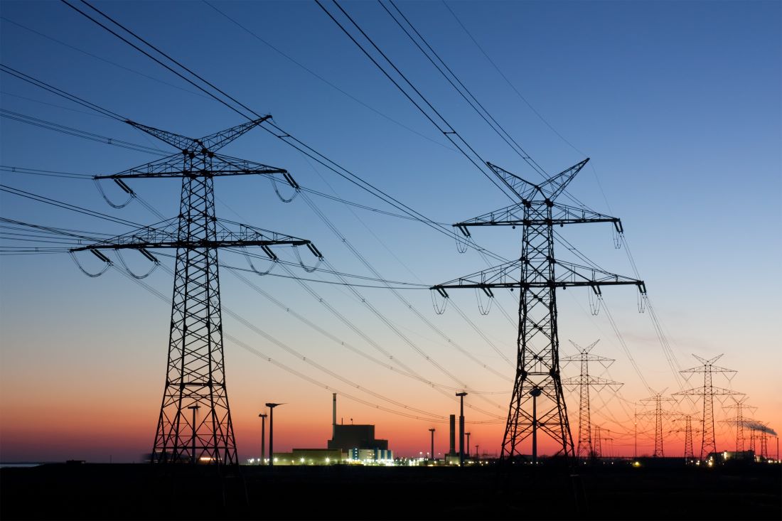
As a first step of the cooperation, E.ON Innovation is collaborating with ESA BASS on the ‘’Space for Infrastructure: Energy’’ initiative, providing use cases of E.ON´s energy business such as the automatic detection of damage to power lines by extreme weather or by critical third-parties such as unannounced construction sites.
Through this partnership with ESA BASS, E.ON Innovation will leverage the significant role that satellite technologies and applications play in the evolution of the energy sector and its transition to a greener future.
Christof Kortz, Head of Startup Partnerships at E.ON Innovation, said “Space-based technologies hold great potential for surveilling large areas of grid infrastructure both above and underground of which 13,000 km of high-voltage lines alone are located in forest areas that are often difficult to monitor. To make the E.ON grid more resilient and to better oversee the wide grid areas, we are very excited to partner with ESA BASS to find new solutions, innovative companies, and startups for the E.ON grid business.”
Davide Coppola, Head of the Space Applications Initiatives Section at ESA Space Solutions, said:
“Space applications can play a significant role in supporting the sustainable growth of green energy economy. We are confident that this cooperation with E.ON Innovation will unlock significant opportunities for innovative space-based applications which will showcase the impact of space technologies on the energy sector.”