


European Space Agency – Torino Municipality Memorandum of Intent
October, 24 / 2019
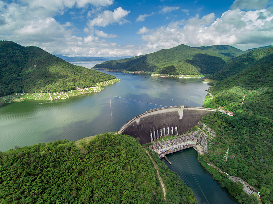
DAMMINGS – keeping dams safe via satellite
October, 18 / 2019
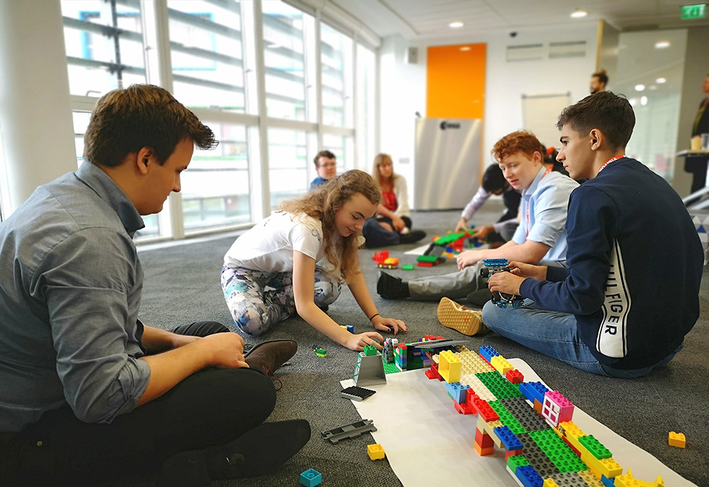
Summer School: The new Space Camp
October, 14 / 2019

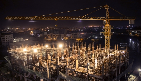
ConsTrack - Taking Stock of the Construction Industry
October, 8 / 2019
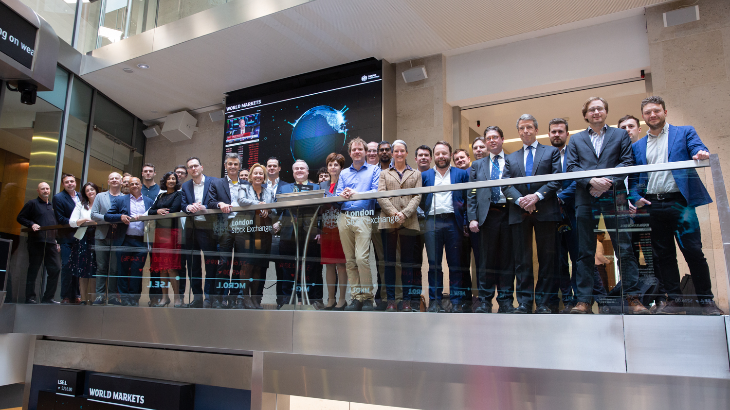
ESA Investor Forum at the London Stock Exchange
August, 27 / 2019

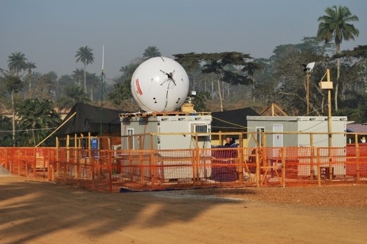
B-LiFE – Life-saving labs at lightning speed
April, 7 / 2020