

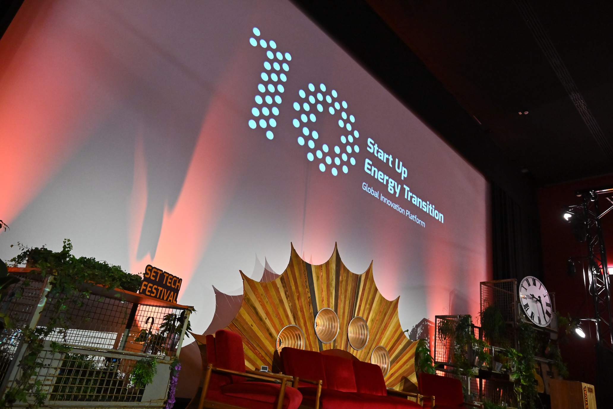
Connecting space to the energy transition at SET Tech Festival
March, 18 / 2026
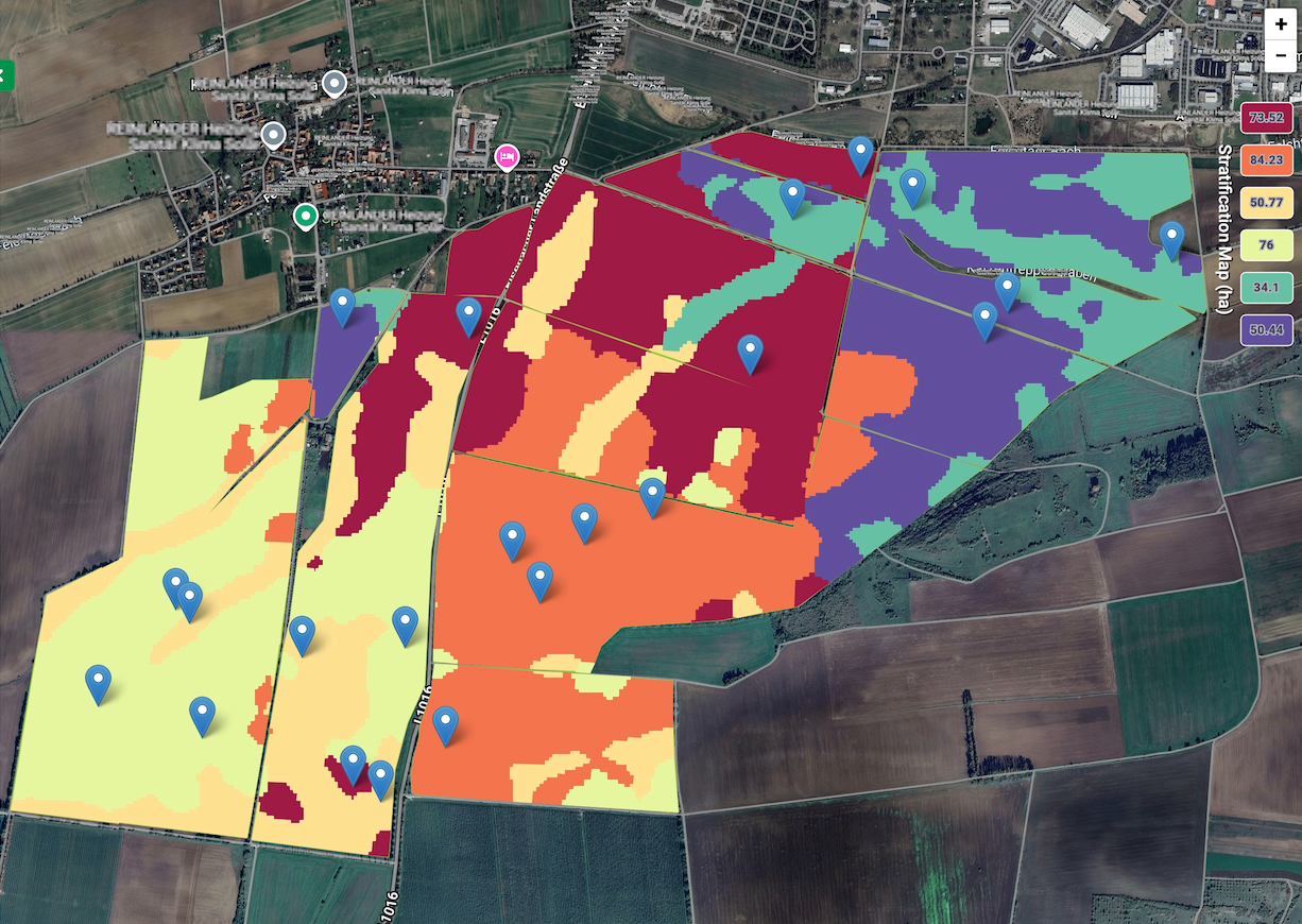
Space technology driving success in the Carbon Credit market
November, 20 / 2025
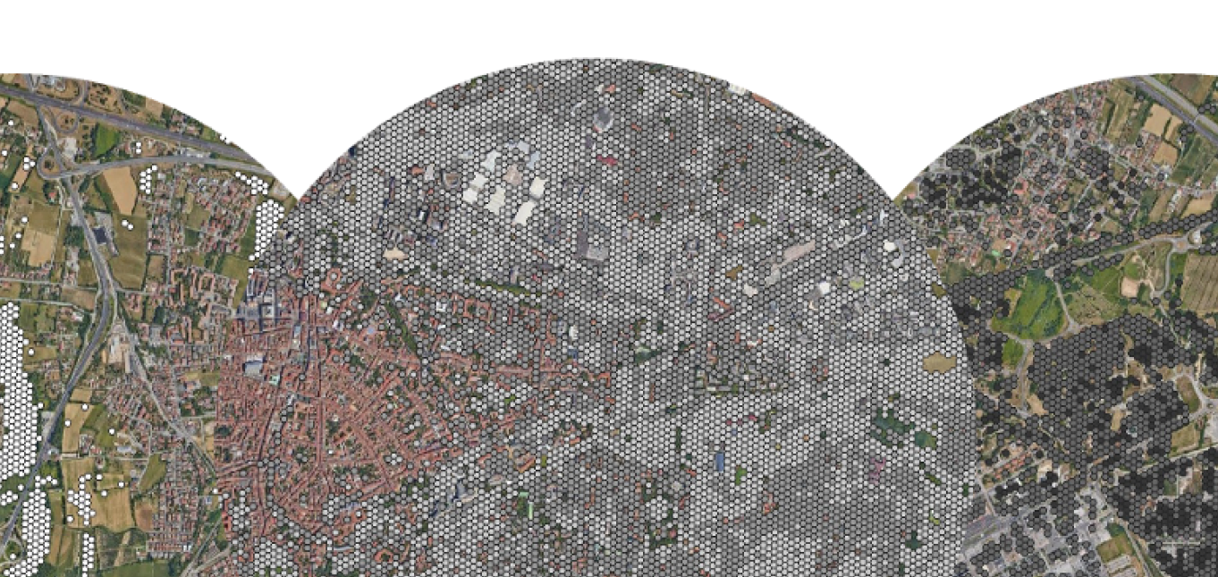
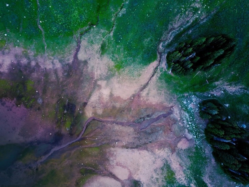
Streamlining carbon farming with satellite data
November, 17 / 2025


Satellite data powers EOMAP's pioneering snow modelling solution
December, 6 / 2024
Satellites and AI in new generation forest management
September, 25 / 2023


ESA-backed project supports oil and gas safety by keeping an eye on the ground
September, 25 / 2023