

Reducing the risk of bird strikes using satellite images and Ascend’s Normalised Difference Water index software (NDWI)


BROWSE PROJECTS
Based on user needs and industry skills, the evolution of customized solutions and the establishment of innovative services is accomplished through project activities. Focusing on various thematic areas, relevant information on the project activities is provided below.
DWR
Status date: 17 June 2025
The Digitising Water Resilience project, led by Krucial in collaboration with SAS Analytics, Deep Planet, SRUC, and the University of Strathclyde, has demonstrated the feasibility of a globally scalable solution for monitoring water stress. Combining IoT sensors, Earth Observation (EO) data, and advanced analytics, the solution provides actionable insights to address water quality and quantity challenges. This innovative approach supports better decision-making, sustainability, and regulatory compliance in diverse sectors and geographies.
Global Water Quality Digital Twin (GWDT)
Status date: 17 June 2025
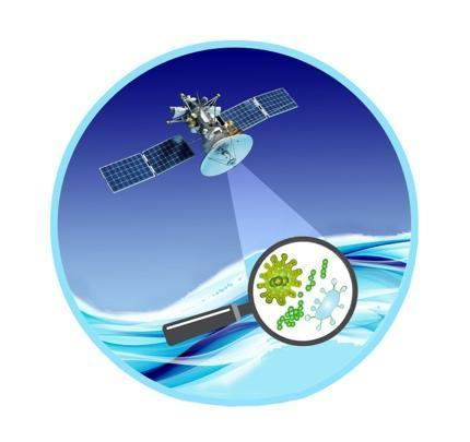
Water quality digital twin bridges together AMR abundance values with EO observation water quality markers extracted from Copernicus Marine. This project proved the feasibility to predict AMR abundance values in water utilizing machine learning model (random forest decision tree, xgboost) trained on 30 water quality, oceanographic, biochemistry parameters such as alkalinity, water pH, turbidity, sea water salinity, sea water velocity. etc.)
RoadCast
Status date: 17 June 2025
RoadCast provides high-resolution, route-based weather nowcasting to support safer and smarter mobility. Our solution delivers real-time forecasts and hazard alerts for rain, wind, hailstorms and road conditions, enabling proactive risk management and reduced losses for autonomous vehicles resulting in safer and expanded operations.

TAVAP
Status date: 16 June 2025
TAVAP optimises farm operations by utilising SAR-based crop growth models and weather forecasts. It helps farmers plan ahead, prioritise actions, create precision farming maps, and efficiently allocate resources like fertilizers and protective agents through variable rate applications.

EO-ACT
Status date: 16 June 2025
Leveraging satellite imagery and AI analytics to detect and prevent child labour in global supply chains. The platform provides companies with real-time monitoring, risk assessment, and verification tools to ensure ethical sourcing compliance, protect vulnerable children, and strengthen corporate social responsibility commitments through transparent, data-driven insights.

SAFER
Status date: 16 June 2025
SAFER provides accurate, hyperlocal seismic hazard maps and forecasts. Leveraging GNSS, Earth Observation data and advanced AI models, SAFER enables proactive disaster preparedness, informed urban planning, improved infrastructure resilience and enhanced risk assessment for governments, municipalities, infrastructure operators, insurers and financial institutions globally.
INST
Status date: 16 June 2025
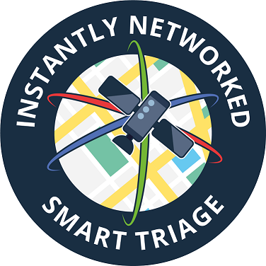
Instantly Networked Smart Triage (INST) is a novel service enabled by satellite communications that provides real-time data to emergency services to save lives in mass casualty incidents. INST is enabled by a low-cost lightweight device that can be associated with a casualty to indicate where they are, how urgently they require medical attention, and to report the number of casualties.
Robust Scatterer InSAR
Status date: 16 June 2025
Ground deformation is a hidden risk that can cause severe damage to our infrastructure. Satellite-based deformation measurements using the InSAR-technology allow us to map deformation over large areas with staggering precision. However, a fundamental flaw in the technology is that it assumes a static scene. With RS-InSAR, we have integrated change detection to allow the mapping of dynamic scenes.

Samplifly
Status date: 16 June 2025
SAMPLIFLY is a fast, integrated, and sustainable drone-based express transportation service design to carry different types of samples for industrial companies. SAMPLIFLY is able to operate in highly industrialised areas such as large harbours.
DBX SPECTRUM
Status date: 16 June 2025
SPECTRUM is the new DBX Commodities’ technology pipeline that accurately characterises the activity of the steelmaking industry across the globe, using ESA spaceborne satellites.

DECARDIS
Status date: 16 June 2025
DECARDIS optimises maritime efficiency with Just-In-Time (JIT) operations, enhancing route planning, real-time data sharing, and stakeholder collaboration. Leveraging space-based technologies like Sentinel satellite data and AIS, the solution improves operational precision, reduces fuel consumption, and lowers emissions. Delivered via a cloud-based SaaS platform, DECARDIS supports ports, shipping lines, and cargo owners for sustainable, cost-effective operations.
GRailMon
Status date: 16 June 2025
The GRailMon project aims to fine-tune and demonstrate an innovative GNSS-based solution for monitoring the 3D position of sections of railway tracks with millimeter precision.
SMART
Status date: 16 June 2025
Feasibility study for an innovative climate communication AI-based service
EM-Grow
Status date: 16 June 2025
Experience the future of organic farming with a pioneering herbicide-free weed control solution. Utilizing advanced GNSS and RTK technology, an autonomous robotic fleet precisely targets and removes weeds, optimizing yield and ensuring livestock safety. Paltech’s Robots as a Service (RaaS) model delivers efficient, sustainable, and resource-effective farming, revolutionizing weed management for organic farmers in Germany.
Advanced Flood Modelling
Status date: 16 June 2025
The project provides a methodology for flood and landslide risk assessment, combining satellite data with physical models and socio-economic analysis in order to support insurance companies in better understanding, mapping and managing natural hazards.
RATIO
Status date: 16 June 2025
RATIO project aims to evaluate the technical and commercial feasibility of using satellites with the capability of detecting RF activity in various operational scenarios. Stakeholders within the maritime and humanitarian/rule of law domains are involved to define use cases of interest and requirements that are requested to be covered by technically and commercially feasible service solutions proposed by the Consortium.

HabiTracker
Status date: 16 June 2025
HabiTracker is a habitat mapping & biodiversity monitoring service that combines Earth Observation data with ground-based IoT sensors to help UK farmers meet environmental reporting requirements and unlock nature-based financial opportunities. Developed by Terrabotics, it provides real-time ecosystem insights, regulatory-compliant reports, and practical recommendations that enhance ecosystem health while supporting farm productivity and sustainability.

UVFDR
Status date: 18 March 2025
The universal virtual flight data recorder (UVFDR) is a vendor-agnostic, non-exclusive data repository, providing flight data including Global Aeronautic Distress and Safety System (GADSS) functions from day-to-day aviation operations to users in near real time.