

Reducing the risk of bird strikes using satellite images and Ascend’s Normalised Difference Water index software (NDWI)


BROWSE PROJECTS
Based on user needs and industry skills, the evolution of customized solutions and the establishment of innovative services is accomplished through project activities. Focusing on various thematic areas, relevant information on the project activities is provided below.

SAT2LEAF
Status date: 10 March 2026
SAT2LEAF (Urban and Peri-Urban Crops Monitoring through Satellite Earth Observation and Leaf-Level Data Fusion) combines satellite data from Copernicus Sentinel-2 with AI-driven plant-level diagnostics via Agrobit’s iAgro mobile app. It enables real-time monitoring and spatialization of crop health, CO₂ absorption, and diseases in urban and peri-urban farms, empowering cities and citizens with data-driven tools for sustainable food production.

BioMoss
Status date: 10 March 2026
BioMosS provides accurate and scalable biodiversity monitoring by fusing ground-truth IoT BioT sensors with satellite data. The platform delivers automated species identification and microclimate telemetry to support corporate compliance and nature restoration, achieving near-perfect precision across a 10,000+ species library.
MaizEO_demo
Status date: 10 March 2026
MaizEO_demo project aims to boost maize farming efficiency in Central Europe by offering precise advice in corn cultivation from sowing to harvests (the precise sowing, fertilization, protection, crop monitoring and yield prediction) using Earth Observation.

ROAD SYSTEM Mobile App
Status date: 10 March 2026
The ROAD SYSTEM™ Mobile App transforms how cities and infrastructure experts assess cycling conditions. Leveraging AI, smartphone sensors, and high-precision GNSS data, the app enables real-time, cost-effective evaluations of cycle lanes. With its intuitive interface and ability to scale without the need for dedicated hardware, it empowers urban planners, engineers, and auditors to make data-driven decisions that enhance safety, mobility, and sustainability.

EO-VTI
Status date: 10 March 2026
EO-VTI is developing an Earth Observation–enhanced Vessel Transparency Index in collaboration with an industry partner in order to uncover deceptive and high-risk maritime activity. The project combines satellite data, AIS analytics, and explainable risk scoring to support maritime compliance, insurance, sanctions enforcement, and decarbonisation.

ÆRON
Status date: 09 March 2026
Project ÆRON is developing autonomous, remotely operated platforms for eDNA sampling in remote and extreme environments. This increases access to important biodiversity data for monitoring and managing natural environments and industry such as aquaculture.

GridEyeS
Status date: 10 July 2023
GridEyes delivers satellite-enabled situational awareness for electricity transmission and distribution operators worldwide. By combining Earth Observation data with advanced artificial intelligence and weather intelligence, the service enables faster, safer and more cost-efficient vegetation and risk management along power lines — reducing operational risk and environmental footprint.
Following a successful ESA-supported demonstration, GridEyeS is commercially available and serving customers globally.

INGURU PREDICT
Status date: 06 March 2026
Optimization of Port Activities in Real Time to Reduce Environmental Impact on specific parameters, Using Artificial Intelligence and Satellite Images

EM-Grow
Status date: 06 March 2026
The project demonstrates an herbicide-free robotic weed control service using GNSS and RTK for precision navigation. An autonomous fleet identifies and removes weeds, supporting organic farming, improving yield, and increasing livestock safety. The service is delivered through a Robots-as-a-Service (RaaS) model operated by trained contractors.

GEOFENCE
Status date: 06 March 2026
GEOFENCE aims at achieving high-integrity, high-availability while maximizing land area utilization by intelligently fusing data from the core sensor suite, specifically addressing GNSS vulnerabilities in typical agricultural settings.

HeatScan
Status date: 05 March 2026
Using satellite thermal data and AI to detect urban heat hotspots and identify overheated buildings to support energy efficiency and climate adaptation strategies.
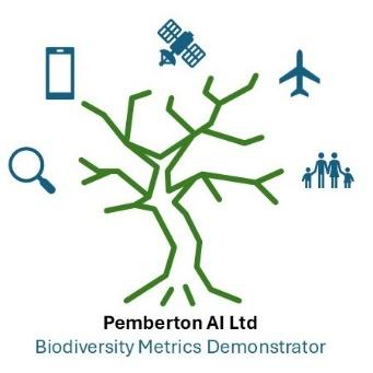
Pemberton Biodiversity monitoring tool
Status date: 05 March 2026
The Pemberton Biodiversity Portal leverages a time series of UAV, aerial, and satellite data, alongside derived data which is ground-truthed and then compiled into a federated biodiversity metrics dataset to provide data consumers with accredited automated remote measurement and tracking of biodiversity.

IntMAP
Status date: 02 March 2026
IntMAP delivers satellite-enhanced geo-fencing and AI-based routing intelligence for intermodal logistics hubs. It converts GNSS traces into leg-level journeys across road, rail, barge, and terminals, supporting CO₂ accounting under ISO 14083 and GLEC v3.2. Coverage includes 2 500 + hub geofences across Europe and North America, built on 1 000 + geofences in ports and terminals.

CropSnap
Status date: 26 February 2026
This service blends satellite insights with simple smartphone photos to monitor crops. By uniting Sentinel-1 and Sentinel-2 data with on-field images and weather trends, it delivers fast, accurate, and affordable loss assessments. The result: quicker claims, lower insurance costs, and stronger protection for smallholder farmers in India—scalable to global agriculture.
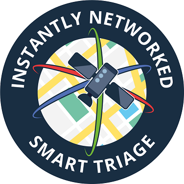
INST
Status date: 26 February 2026
Instantly Networked Smart Triage (INST) is a novel service enabled by satellite communications that provides real-time data to emergency services to save lives in mass casualty incidents. INST is enabled by a low-cost lightweight device that can be associated with a casualty to indicate where they are, how urgently they require medical attention, and to report the number of casualties.

SEUSS
Status date: 25 February 2026
SEUSS integrates satellite derived weather and ship position data into HR Wallingford’s underwater noise model, improving the assessment of the impact of noise on marine life

OCTAGON
Status date: 25 February 2026
OCTAGON is a suite of intelligent tools and services available in Cloud in the form of SaaS, to facilitate the decision-making process and the management of energy assets, where "intelligent" means: optimal design, dimensioning and management of the energy system, simulation and management of multiple scenarios/sites (“behind” and “beyond” the meter) and easy to use for all players in the energy system, decision makers and users.

BirdWatch
Status date: 25 February 2026
BirdWatch is an early-warning system that uses satellite data and in-shed sensors to predict disease, environmental and welfare risks across poultry farms, helping integrators and farmers act earlier and reduce losses.

Dark Vision
Status date: 23 February 2026
Using innovative space-based nighttime imagery, Dark Vision will provide an understanding of how artificial light at night (ALAN) impacts our planet ranging from the effects on human health, ecology, the environment, biodiversity and the global economy.

EO MA Track
Status date: 20 February 2026
EO-MA Track is a web-based monitoring service that delivers independent, satellite-derived evidence to strengthen ESG verification. It transforms Earth Observation data into structured, assurance-ready indicators (i.e., maps, KPIs, and trends) that support risk-based assessment of asset-level sustainability claims. Designed for verification bodies, it adds a transparent, traceable spatial layer to ESG disclosures.