


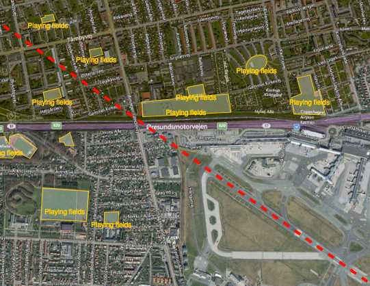
Reducing the risk of bird strikes using satellite images and Ascend’s Normalised Difference Water index software (NDWI)









BROWSE PROJECTS
Based on user needs and industry skills, the evolution of customized solutions and the establishment of innovative services is accomplished through project activities. Focusing on various thematic areas, relevant information on the project activities is provided below.

ISIDE 4 Africa
Status date: 30 March 2015
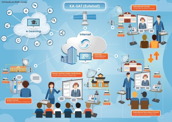
I4A focuses on the provision of educational content and Internet access to African primary and professional high schools and to health and cultural centres. In a nutshell, I4A aims at providing a one-stop-solution for the collection, organization, delivery and use of digital educational contents based on the ISIDE platform/service.
INSA
Status date: 15 June 2012
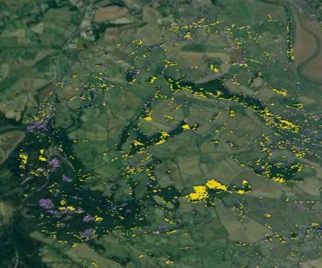
The project utilizes satellite images, in situ data and historical data dericing technical conclusions helping decision makers in their tasks of land prioritizing and allocating the use of mine action resources to improve socio-economic impact as well as avoiding unnecessary deployments of clearance activities in non-contaminated areas. Navigation and satellite communications help to streamline field activities, logging and shared database access, as well as to support collection and georeferencing of airborne data.

Integrating Space Assets for UK Civil Resilience
Status date: 24 September 2012
The project is aimed at integrating space assets in a manner that will better serve the UK resilience community during crisis response. The goal is to provide a service that enhances the responder and decision maker tool-kits through the integration of existing space capabilities.

INTOGENER
Status date: 12 June 2015
INTOGENER (INTegration of EO data and GNSS-R signals for ENERgy applications) Demo is a project aiming at demonstrating the operational capabilities of a water flow monitoring and prediction system aimed at hydropower production and water management organizations.

IRISS
Status date: 14 June 2012
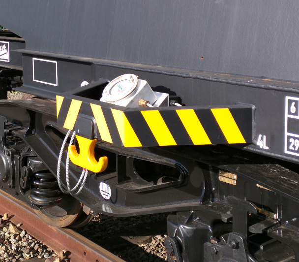
The IRISS feasibility project has identified the applications and requirements for an integrated information, communication and navigation gateway within the rail transport sector, designed and developed a solution and performed a proof of concept activity.

iFish North Sea
Status date: 03 March 2014
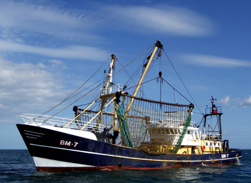
I-fish North Sea aims to provide an integrated information and communications system that will utilise a combination of satellite communications and satellite navigation to enable unified timely and accurate collection, management, and use of marine fisheries data to provide value added services to fisheries stakeholders for improved sustainability of our fast depleting fisheries resources.

FarmingTruth
Status date: 14 October 2014
FarmingTruth is a precision agriculture service that furnishes end users (e.g. farmers, growers, agronomists, agricultural consultants, etc.) with a web-based soil and crop information system to enable the optimisation of land production for increasing yield at reduced input cost.

I-Port FS
Status date: 20 August 2013
This study addressed the feasibility and viability of an integrated solution consisting of space and terrestrial assets in support the optimisation of freight transport through European ports.

FISHSAT
Status date: 27 September 2013
FISHSAT is conceived as a system of systems employing space assets (Earth Observation, Satellite Navigation and Satellite Communication) to improve collaboration between markets, fisheries and enforcement authorities. The intended benefit of FISHSAT is to increase the efficiency of fishing activities, match better the market demand, improve catch traceability and strengthen enforcement.

i-enquire
Status date: 26 March 2015
The project, which is part of ESA's Newcomers initiative of the ARTES 3-4 Programme, is aimed at developing, integrating and validating a set of mobile applications onboard of vehicles such as cars, coaches and trucks, using the S-Band delivery platform of Solaris on the Eutelsat W2A satellite.

Gulliver
Status date: 03 July 2012
The GULLIVER feasibility study aims at assessing the added value of space assets in securing the delivery of pharmaceutical goods. For that purpose, Novacom Services has fostered the creation of a wide community of experienced users covering the end-to-end distribution chain.

Earth Rider
Status date: 12 June 2014
The Earth Rider concept, conceived and developed by Space Synapse Systems Ltd, attempts to educate, enlighten, and engage end users with environmental and space awareness issues by:
- Sharing the personal experiences of space travel by astronauts;
- Producing high-quality planetarium shows;
- Creating an effective immersive experience that allows end users to “experience “the awe of spaceflight; and
- Disseminating downstream Earth Observation satellite applications.

eHSA Regulatory
Status date: 20 February 2013
Partnering with Africa to help strengthen health service delivery is a key driver of this project. The goal of the eHSA programme is to develop pan-African eHealth services enabled by satellite to benefit the sub-Saharan Africa (SSA) region. These services focus on providing various types of eHealth services to benefit citizens and health workers.

DeSIRE
Status date: 30 May 2013
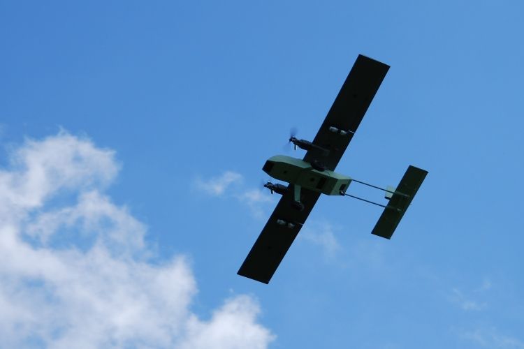
The DeSIRE (Demonstration of Satellites enabling the Insertion of RPAS in Europe) demonstration project is a joint ESA-EDA initiative aimed at demonstrating the safe insertion of Remotely Piloted Aircraft Systems (RPAS) in non-segregated airspace using satellites capabilities for RPAS command and control, ATC communications and Mission data transfer to ground, in order to satisfy the needs of potential user communities. The demonstration will be carried out in Spain through several flights using a RPAS (Heron 1) providing airborne maritime surveillance services to the Spanish Users involved in the project.