


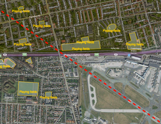
Reducing the risk of bird strikes using satellite images and Ascend’s Normalised Difference Water index software (NDWI)










BROWSE PROJECTS
Based on user needs and industry skills, the evolution of customized solutions and the establishment of innovative services is accomplished through project activities. Focusing on various thematic areas, relevant information on the project activities is provided below.

SafeSki
Status date: 27 February 2017
The SafeSki Demonstration Project covers the pilot implementation of Safety and Information Services for Ski Resorts and succeeds the successfully completed SafeSki Feasibility Study. The SafeSki pilot-demonstration stage aims at increasing the safety and security on slopes, increasing customers and thus revenue, saving time regarding data acquisition and documentation and reducing personnel costs through optimization of internal processes.

CountFloors
Status date: 22 October 2018
CountFloors (CF) is a service designed to collect and analyse GNSS-geocoded images of buildings acquired at street level together with Sentinel data. CF automatically retrieves ground-level and satellite images on urban areas of interest, and uses a machine learning approach to extract risk-relevant characteristics of buildings depicted in the images. These features are sought after by risk modellers and insurance companies; yet they are of interest also in the real estate market and to the municipalities for their planning.
TransparentSea
Status date: 22 August 2018
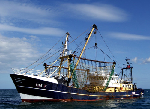
TransparentSea develop an innovative fishery monitoring system.

Blue Desert
Status date: 08 August 2018
Blue-Value (developed in the project ‘Blue Desert’) is an information and software suite to determine water related risks, support optimization of water management, and asses water footprints.
NAPPI
Status date: 03 August 2018
The NAPPI navigation solution aims to provide a tailored navigation service for the ageing population in public infrastructures to enhance their mobility and life quality. The solution is able to achieve centimeter tracking precision in indoor environments as well as to provide smooth routing transition between indoor and outdoor environments by combining satellite, acoustic and inertial sensor technologies.

BioDiv Checker
Status date: 01 August 2018
The BioDiv Checker is a service to acquire and analyze remote sensing images for supply chain integrity within ecological farming.
VECMAP
Status date: 05 July 2018
VECMAP® is an award-winning one-stop-shop for the area-wide mapping of the distribution and abundance of pests that transmit diseases. The software includes tools for (1) geo-located field survey planning, (2) collection, storage & management of geo-referenced data, and (3) spatial analysis and spatial modelling of observed presence and absence data using earth observation data sets as predictor data.

COMBO-SBB
Status date: 06 June 2018
COMBINED CONNECTION SAT and DSL for SMART BALANCING and BACK UP project aims to develop a complete and innovative end to end platform to combine dynamically traffic between a SAT connection and a xDSL connection available in the user premises to guarantee improved overall link capacity and link continuity
SEMAFORS
Status date: 22 April 2013
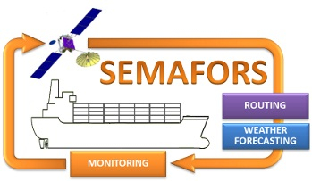
SEMAFORS, the Ship Efficiency Monitoring, weAther Forecasting and Optimised Routing Service is a user focused project in support of the shipping industry.
SEMAFORS will investigate, establish and demonstrate through sea trials a concept to improve ship fuel efficiency by providing the means to better planning, avoiding of adverse weather and by making better use of ocean currents.
MAPP
Status date: 23 October 2015
The increase in piracy incidents in areas such as the Gulf of Aden and the Gulf of Guinea threatens life at sea and causes substantial cost to the shipping industry and governments as vessels transit through the High Risk Areas.

Nostalgeo
Status date: 05 March 2018
Nostalgeo is a location-based platform to preserve & experience the streetview of the past. The interactive tool allows users to explore, compare, upload & fit old streetviews in relation to the streetview of today. A location-based API service allows other users/developers to access historical streetview data over whole Europe and integrate it into their own (touristic) applications.

BIOSCOPE FS
Status date: 05 July 2016
BIOSCOPE investigated the technical and economical viability of a vegetation monitoring system based on the integrated use of satellites and Remotely Piloted Aircraft Systems (RPAS).

SURMON
Status date: 18 June 2015
The SURMON Demonstration Project targets airborne Geophysical Survey (GS) and oil Pipeline Monitoring (PM) services based on the use of a Remotely Piloted Aircraft System (RPAS). Equipped with suitable sensors and making use of satellite communication and navigation, operation of the RPA beyond line-of-sight is enabled.

SSMART
Status date: 30 November 2011
The SSMART project will provide solutions for monitoring and managing multimodal (road, rail, waterways) transports of dangerous goods. Integrating and using available space technologies (satellite navigation, satellite communications, earth observation) with terrestrial systems SSMART will improve safety, coordination, information exchange, and communication for both routine transport operations as well as for emergency situations.