


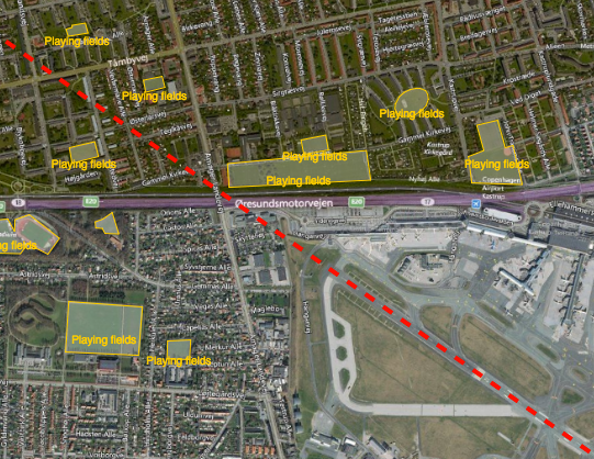
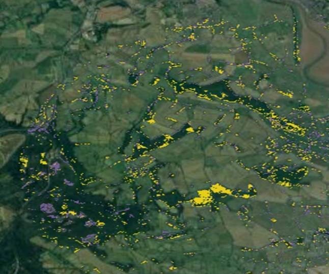
Reducing the risk of bird strikes using satellite images and Ascend’s Normalised Difference Water index software (NDWI)





BROWSE PROJECTS
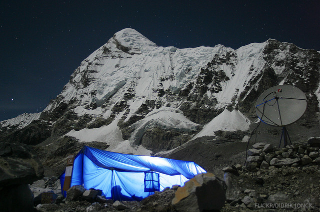
Based on user needs and industry skills, the evolution of customized solutions and the establishment of innovative services is accomplished through project activities. Focusing on various thematic areas, relevant information on the project activities is provided below.
Mercury
Status date: 21 October 2014
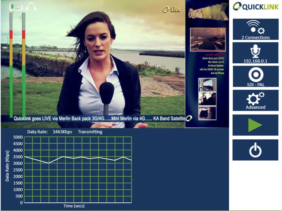
Project Mercury aims to establish and prove the commercial viability of a new satellite based communications service that will end the isolation of Mobile Breast Screening Units deployed across the UK as part of the National Health Services (NHS) breast cancer prevention and detection programme.
iTRAQ
Status date: 25 May 2012
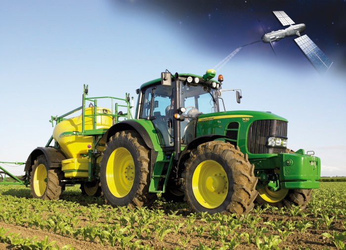
iTRAQ is a project to develop a dynamic traffic management system for optimising use of the road network whilst meeting growing demands to sustain high standards of air quality in urban environments.
FlySafe
Status date: 18 March 2014
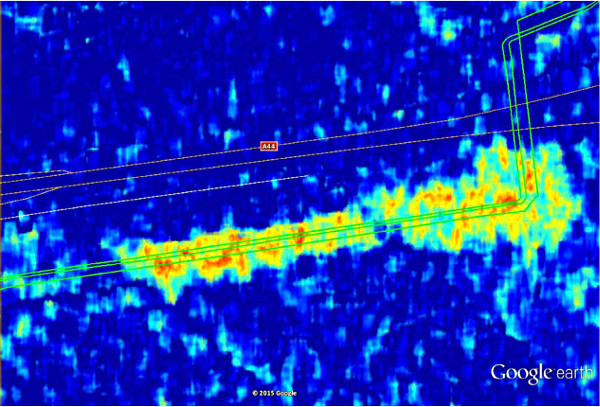
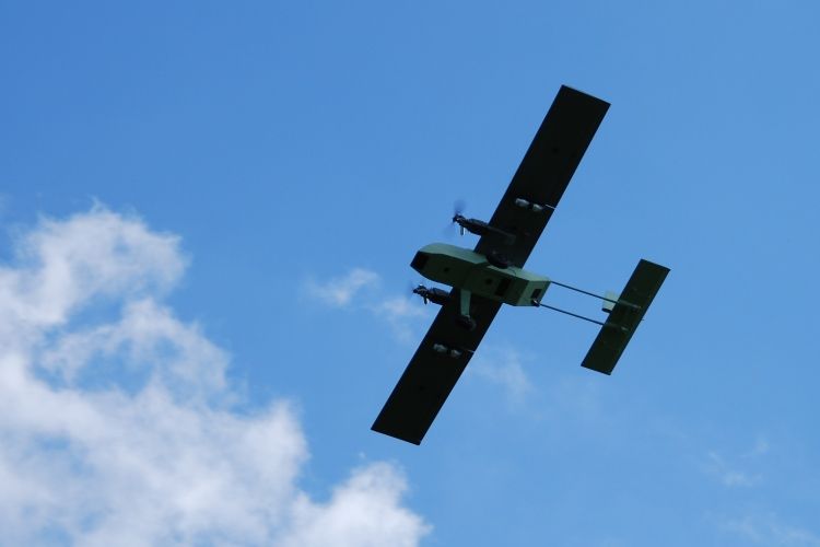
Bird strikes on aircraft pose a real safety threat for both military and civil aviation. Depending on specific circumstances such as the speed of the aircraft, the point of impact, the mass of the bird, the number of birds and the type of aircraft, bird strikes can result in devastating accidents.
FAAPS
Status date: 19 March 2013
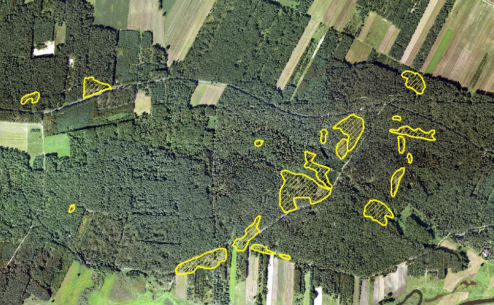
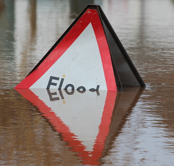
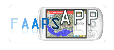
Floods affect more people and cause more property damage than many other natural hazards. FAAPS (Fully Automatic Aqua Processing Service) proposes to support emergency management professionals with the provision of flood extent maps even in rain conditions and over large areas.
InsureApp Service
Status date: 01 April 2014
This feasibility study carries out an analysis of the most critical elements with respect to technical feasibility and viability (economic as well as non-economic) of a web application aimed at improving the efficiency of the management of insurance claims with a focus on weather-related hazards
Infoterra
Status date: 21 May 2012
This study was designed to determine the feasibility of the use of space assets such as satellite communications, positioning, and Earth Observation to support the humanitarian mine action community.
Amazon
Status date: 12 May 2017
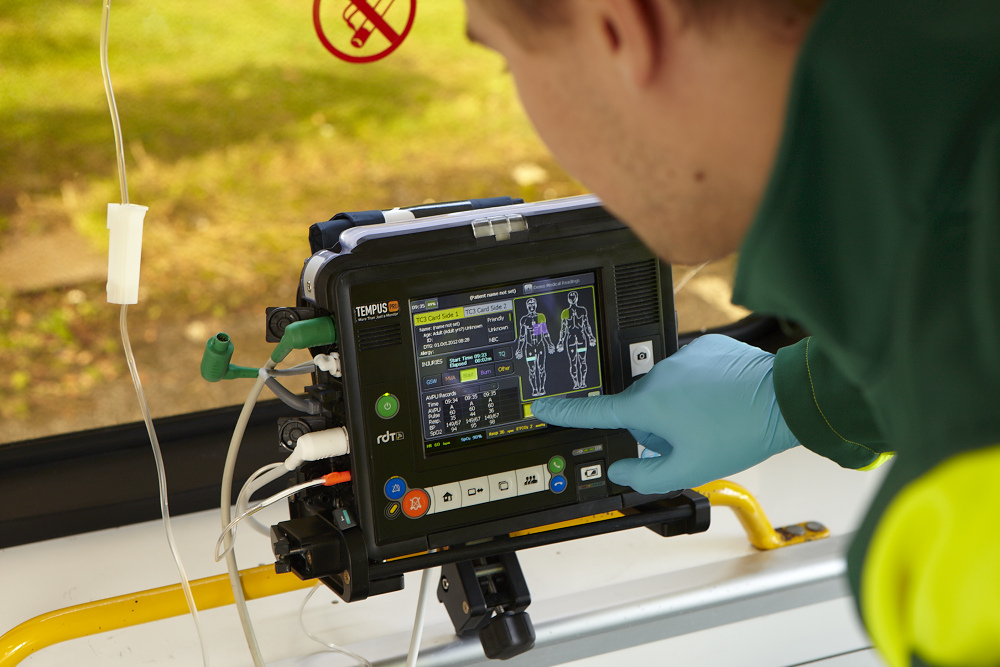
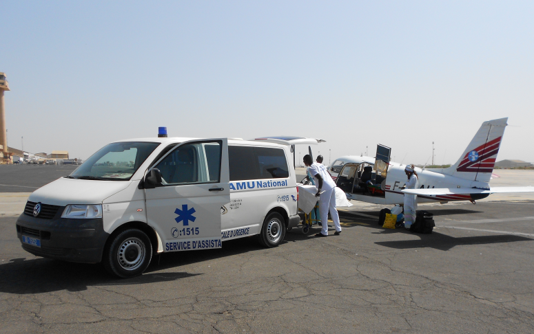
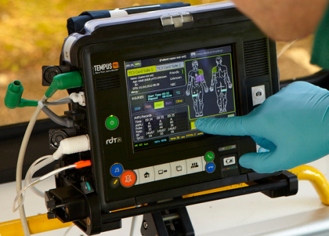
The objective of this project is the development and validation of a tele-assistance service, using multiple space assets, for professional clinical users in remote locations using a compact device for vital-sign monitoring and remote diagnosis. It is based on a previous ESA-backed project, which resulted in the deployment of a telemedicine system for commercial aviation applications (TEMPUS)

SELIAT
Status date: 13 April 2015
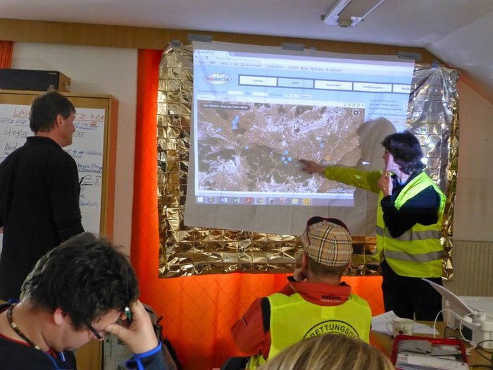
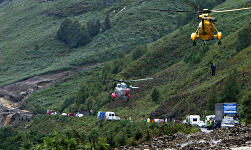
SELIAT stands for the feasibility study Safe Emergency Landing in Alpine Terrain. It has investigated a service in aviation that shall provide geographic information about suitable landing sites to support off-field landings in alpine areas with difficult terrain. This information will be available to pilots in their cockpit. The information may be required either as part of an operation of a search and rescue mission or in case of a technical failure in the aircraft.

SAVEWATER
Status date: 07 August 2012
The Savewater Project conducts a feasibility study for integrated Satellite - AUV (autonomous underwater vehicle) applications in the field of water management. The proposed application integrates satellite services (earth observation and navigation) and mobile platform services (in situ measurements and visualization of water characteristics).

FruitLook
Status date: 17 August 2012
Water is a critical resource in South Africa, which challenges the agricultural sector to reduce irrigation water consumption while keeping production sustainable. Adequate information on the crop water, growth and nutrient status is crucial to improve water management.The FruitLook pre-operational service demonstrates to Western Cape grape and deciduous fruit farmers the benefits of integrated satellite technologies in their daily water and farm management.

BALMON
Status date: 26 March 2014
The BALMON project aims to provide an extensive, well-justified assessment of technologies, services and development needs that will support and enhance the efficiency of water quality monitoring and coastal surveillance activities in the Baltic Sea region.

GrapeLook
Status date: 17 August 2011
This project focuses on the operational monitoring of crop water and nitrogen use of vineyards in the Western Cape province of South Africa. Based on the daily management of irrigation water resources and on-farm nitrogen by means of satellite remote sensing technologies, satellite communications and satellite positioning the project aims to assist various end-users.

INTOGENER Feasibility Study
Status date: 08 November 2011
INTOGENER is a feasibility study for the implementation of a water flow monitoring and prediction system aimed at hydropower production and water management organizations. The study is supported by ENDESA, a Spanish utility with a leadership position in South America.

SWAY4Edu
Status date: 18 January 2017
SWAY4Edu aims at developing a satellite ICT (Information Communication Technology) solution to support the three main activities of Rural Radios, Electoral eTraining, and Space4Education.
ISSWIND
Status date: 02 November 2016
This project consists on a study to define Supporting Services for the Wind Power Industry, having in mind the possible use of space technology, assets or products and its added value, gaps and possible improvements.