


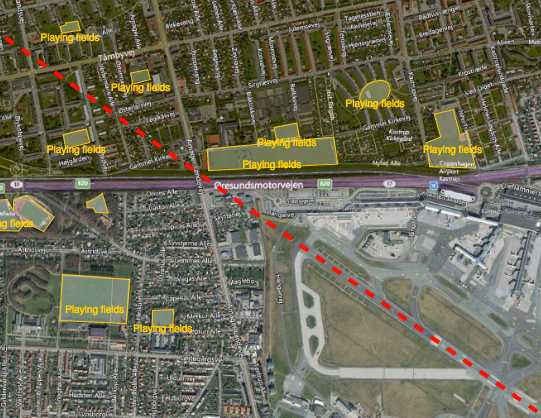
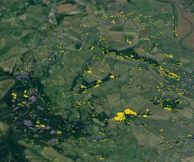
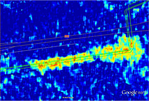
Reducing the risk of bird strikes using satellite images and Ascend’s Normalised Difference Water index software (NDWI)











BROWSE PROJECTS
Based on user needs and industry skills, the evolution of customized solutions and the establishment of innovative services is accomplished through project activities. Focusing on various thematic areas, relevant information on the project activities is provided below.

HelloBin
Status date: 11 July 2018
HelloBin services optimizes routing for waste collection for waste collectors and contributes to the ability to manage the waste stream more efficiently.

TILQ-AP
Status date: 03 May 2018
TILQ-AP is an integrated application designed to help cities in impact management of climate variables on elderly population life quality. It integrates satellite data (EO and meteorological) with medical and demographic data to monitor and send alerts on upcoming heat waves in cities (including the “Urban Heat Island” effect) that might be dangerous for elderly people.

FULLVIEW-SAT
Status date: 02 May 2018
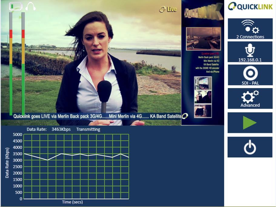
FULLVIEW-SAT aims at implementing a solution to deliver a live immersive 360 degrees multicasting of sport events for Major and Minor sport leagues. FULLVIEW-SAT makes use of state-of-the-art Satellite News Gathering (SNG) based on of High Throughput Satellite and full IP solutions. The content is then delivered to the users via Internet; a dedicated App and visors will allow users watching at sport events as they were in the different location of the football field, providing an immersive experience.

TeleRetail Delivery Robot
Status date: 17 May 2018
TeleRetail automates regional logistics to save millions of users billions of hours while minimizing the ecological footprint of transportation. Its activities include the development of automated on demand courier robots for same day delivery services in urban and sub-urban areas. The company's technology reduces the space, cost and energy requirements of local logistics by up to 90%.
Migration Radar 2.0
Status date: 29 May 2018
Migration Radar 2.0 services are aimed at optimizing the prognosis for different stakeholders involved in the field of migration, operating at different roles and capacities. Big datasets stemming from space assets and social media are combined with existing migration datasets to develop information-enriched products, customized to the user needs. Provisioning these products in the form of automated, user-intuitive and flexible services helps the stakeholders in optimizing their decision making processes in a timely and accurate manner.
Big data applications to boost preparedness and response to migration
Status date: 25 May 2018
The study aims at assessing the technical feasibility and economic viability of services enhancing human migration crisis management, through the use of Big Data solutions and RPAS.
SENSE
Status date: 17 June 2018
The preservation of safety and information distribution in the maritime transport market is currently enabled by systems, which already show signs of overload, such as AIS. SENSE is a feasibility study to analyse and assess the use of space assets, and in particular VDES, for maritime navigation systems. The project aims at developing a viable system services concept closing the information gap between ship and shore. SENSE’s core value is information exchange using worldwide standardized dataflows and thus ensure easy scalability and integration of new vessels.
DOCS
Status date: 20 March 2018
Re-using civil aircraft to create constellations for providing high spatial & temporal Earth observation data and telecommunication services; a most ecological constellation re-using the most reliable platform.

Cycle route planning tool
Status date: 07 March 2018
Imagine yourself dumped in the middle of the Alps with your mountain bike. Now try and find a route that gives you 3 hours ride-time, 1200 meter elevation gain and a gnarly descent with epic scenery. Easy? Thought not. Beinn Bike delivers this capability quickly and efficiently allowing you to spend more time riding and less time planning.
LocalB
Status date: 07 March 2018
LocalB is a novel location based service that links vendors and consumers within a geographical area.

Tourism Impact Monitoring Service
Status date: 05 March 2018
Realise and monitor sustainable tourist destinations using Earth observation satellites.

Dively
Status date: 19 December 2017
Dively is the first mobile application that supports a safe experience for underwater sports fans. Thanks to a powerful combination of environmental data and 3D underwater views, planning your next experience will be a breeze. Designed by divers for divers, Dively presents complex earth observation data and bathymetry in a visual, easy and user-friendly way, with the aim of enhancing your experience while boosting your safety.

KATOUM
Status date: 18 December 2017
KATOUM is a project dedicated to the setting up of tailored EO-based services and products for the sustainability of investments in the Mediterranean karst regions. Are targeted the areas affected sinkholes, landslides and subsidence associated with a sharp local base level/water table level drop. The latest will occur more frequently with the increase of heat waves in summer time.

CapeOutdoors3D
Status date: 19 December 2017
CapeOutdoors3D prototyped a web-based (and conceptualised a mobile) application for tourists planning outdoor activities in Nature Reserves and National Parks in South Africa. The project linked the space technologies Earth Observation and Satellite Navigation with the aim to provide a 3D virtual reality planning tool for tourists. In addition, Earth Observation based fuel condition maps were developed to support protected area authorities in their fire management activities.

DART
Status date: 09 November 2017
The DART service aims to offer affordable medium distance transportation capabilities to Polish professionals as primary target market. DART will be based on the use of light aircraft located all over the country, by exploiting GNSS-based approach procedures and remote AFIS services. It ambitions to be much cheaper and flexible than current air-taxi like services.

EM
Status date: 04 April 2023
This project followed a successful Feasibility Study in improving the GEOSATIS EM system/service, based on a next-generation GNSS bracelet, satellite communication/imagery; to enhance the current electronic monitoring system to a level where Geosatis has an edge over its competitors in terms of; communication, proximity, detail, signal broadcasting, bandwidth, and device use in a larger geographical area with limited. communication signals.
.