Reducing the risk of bird strikes using satellite images and Ascend’s Normalised Difference Water index software (NDWI)
BROWSE PROJECTS
Based on user needs and industry skills, the evolution of customized solutions and the establishment of innovative services is accomplished through project activities. Focusing on various thematic areas, relevant information on the project activities is provided below.
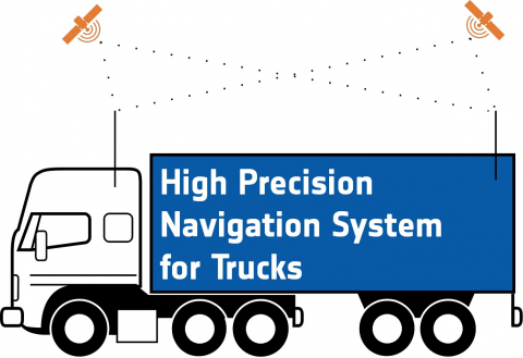
High Precision Navigation System for Trucks
Status date: 20 February 2018
Autonomous driving and reverse parking of truck-trailer combinations are very attractive for the transportation and logistics industry to reduce the transportation costs and to avoid accidents.
SATMODO
Status date: 08 September 2014
The SATMODO project is aimed specifically at the round-wood timber harvesting market, by facilitating ”live” monitoring of harvest processes. To date the SATMODO project addressed current harvesting issues in remote areas by utilizing both cellular and satellite transmission technology as a means of providing data transmission pathways for the live harvest data from the Harvester Machine.
Profumo FS
Status date: 02 September 2016
Profumo proposes novel weather-based services for the Mediterranean navigation with the aim of granting fuel saving, pollution reduction and improving safety for passengers, crew, goods and ships’ instruments. The idea is to establish a cooperative schema (between commercial vessels) where meteo-marine data is collected from standard and non-standard on-board instrumentation and used to produce innovative high resolution meteo-marine products, and to provide route optimization and navigation services.
ASSIST WRM (FS)
Status date: 06 July 2015
The “Advanced Snow plough and Salt spreader based on Innovative Space Technologies“ (ASSIST) project aims to deliver a comprehensive feasibility study on the technical and economic sustainability of a winter road maintenance system based on space technologies.
ASSIST proposes a concept developed along with the improvement and integration of two main assets: Satellite Navigation (and related augmentation systems) and Earth Observations to get additional digital information about roads and weather forecasts.
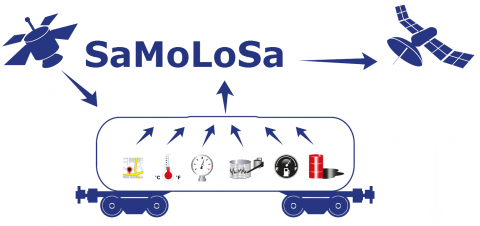
SaMoLoSa FS
Status date: 28 January 2016
The Ovinto SaMoLoSa study addresses the use of satellite technology for the reduction of transport risk, security enhancement and optimisation of logistic operations by the tracking and monitoring of extremely dangerous goods in unpowered, mobile transport units such as rail tank cars and intermodal tank containers.
EO Crowd
Status date: 22 February 2016
Over 90% of our seas are unsurveyed. EO Crowd uses crowd sourcing, EO data and open data to fill this data gap.
aircheckr
Status date: 07 December 2016
Aircheckr creates & opens up the best available air quality data in the EU. Aircheckr translates the air quality data to the specific needs of a broad range of applications like real estate, health or sports. The data is enhanced by the power of the crowd, and it is easily interpretable & include personal recommendations.
New Commons
Status date: 18 December 2015
Combining analysis of satellite imagery with crowdsourced data, this system brings together urban forestry professionals and those living in urban environments in order to improve the levels of understanding and information available on the trees growing in these unique ecosystems.
CCP
Status date: 22 July 2016
This project aims to develop a new technology that allows non-technical personnel trim, play, deploy, videos for Auto-Feed Content Creator component by category.
PloughStars
Status date: 04 August 2015
Plough Stars is a feasibility study and part ESA’s Integrated Applications Promotion (IAP) Programme. The industrial team led by Berner & Mattner investigates new services and applications for improving winter road maintenance. Existing, mainly terrestrial, systems are enhanced with space-based technologies. Users and stakeholders involved in winter road maintenance benefit from this system through increased performance and a simplified routine.
ASSIST WRM
Status date: 13 December 2017
According to the outcomes of the forerunner feasibility study, there is a potential market landscape for high-end services supporting the winter road maintenance. Intercepting then the real needs of users and stakeholders involved in winter maintenance, the follow-up ASSIST WRM demonstration project intends to address these opportunities by providing a set of advanced space-based services, specifically deploying a multi-sites pilot-demonstration over four different European countries during the 2016-2017 winter season.
BIOSCOPE FS
Status date: 05 July 2016
BIOSCOPE investigated the technical and economical viability of a vegetation monitoring system based on the integrated use of satellites and Remotely Piloted Aircraft Systems (RPAS).


