


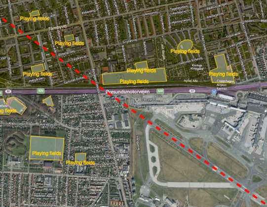
Reducing the risk of bird strikes using satellite images and Ascend’s Normalised Difference Water index software (NDWI)







BROWSE PROJECTS
Based on user needs and industry skills, the evolution of customized solutions and the establishment of innovative services is accomplished through project activities. Focusing on various thematic areas, relevant information on the project activities is provided below.
Urban Space Series
Status date: 11 December 2018
The Urban Space Series is a real-time index of urban economic development. The product developed in common with ESA and QuantCube Technology is an IA platform for land characterization, specifically to detect urban city area, based on satellite images. The service monthly provides the shape of selected cities and useful metrics such as area and urban change detection.

SEOS
Status date: 05 December 2022
SEOS is an initiative led by Ecometrica to advance applications of Earth Observation in Scotland aiming to increase the consistency, continuity, extent and usefulness of geospatial content through the provision of services that address environment and land management challenges faced by a number of Scottish public and private organisations. Global Surface Intelligence is a project partner, providing advanced satellite data processing.
WatAspace
Status date: 05 December 2022
How much water is flowing in the river? What is the water level in the reservoir?
The answer to these questions is not always easy to find, especially on ungauged rivers and on reservoirs managed by third parties. WatAspace answers these questions by using satellite data, without the need of in-situ sensors
DeFROST for Hydro
Status date: 05 December 2022
Extraction of Snow Water Equivalent through satellite data for hydropower energy production and trading optimization.

SODOR
Status date: 28 November 2022
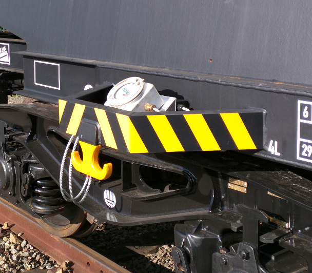
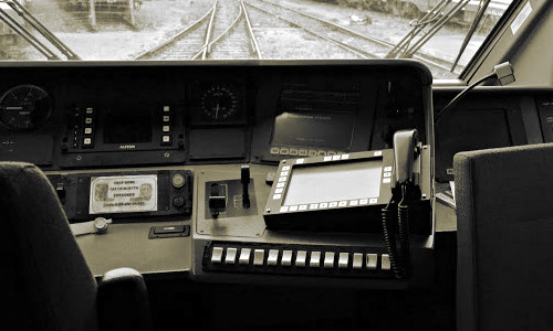
This Satellites for Digitalisation of Railways (SODOR) project will deliver pilot demonstrations of improved network connectivity for train monitoring and passenger broadband. The project aims to demonstrate how new constellations of communication satellites can seamlessly fill gaps in terrestrial coverage and provide additional capacity to improve safety and provide travellers with better connectivity.
SCD
Status date: 28 November 2022
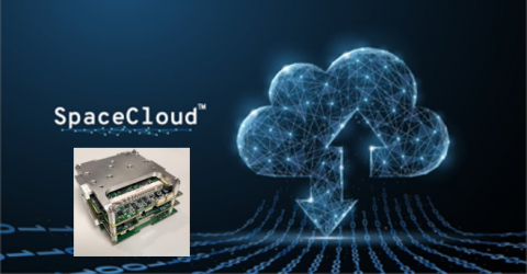
Unibap demonstrated the SpaceCloud-as-a-Service (SCaaS) business model and SpaceCloud ecosystem which brings edge, cloud, and storage capabilities with flexible analytics to satellites. SpaceCloud enables low latency, high value actionable information, better optimized and managed downlink bandwidth, and increased satellite utility. This benefits many different business verticals such as precision agriculture, crisis and disaster management, civil and defence security and environment preservation.
TerraRisk
Status date: 21 November 2022
CyStellar TerraRisk RE is a data analytics platform, designed to deliver real-time geospatial insights and intelligence into risk and underwriting, reserving and rate making, insurance portfolio optimization and claim assessment processes.

YieldOptimizer
Status date: 21 November 2022
YieldOptimizer is a new service which is able to predict high, medium, or low potential yield areas and areas subject to high, medium or low water stress, based on the use of satellite data.
This new feature opens the doors toward efficient monitoring and better crop management for all those farmers who want to be part of a new Agritech world and optimize their benefits with a better understanding of the fields.
FiELD
Status date: 21 November 2022
Finding Intelligent Environment-led Data (FiELD) initiative delivers a cooperative framework in rural hubs to facilitate implementation of space data by end users through the “citizen science” concept. The range of services is built around the principles of consolidation, facilitation, education and innovation of appropriate earth observation (EO) data, to enhance local authority and citizen decision-making.

LOOP
Status date: 17 November 2022
LOOP solution provides a worldwide observatory of air quality, weather conditions, and environmental/regional insights for supporting implementation of air quality policies and decision making for land spatial management, to reach low environmental impact.
INSURE
Status date: 04 November 2022
INSURE aims to provide an extensive set of services to any company involved in the decommissioning of their oil and gas operation, as well as photovoltaic, wind and green energies offshore and onshore platforms. INSURE service implements a set of functional blocks for the monitoring of the environment, the platform status and support the management of the platforms off-shore during all the phases of activity through an advanced telecommunication system.
Roof Solar Panel Calculator
Status date: 04 November 2022
An easy-to-use service for detecting roofs suitable for solar panel installation. The service provides information about roof measurements, pitch, orientation, and potential solar energy production.

BeSpatial.AI
Status date: 02 November 2022
How do you target advertising to maximize customer reach and minimize costs? Where do target customers stay, live and work? What locations should be the focus of digital and physical advertisement campaigns?
BeSpatial.AI helps businesses in financial services and other industries to boost their ads performance with customer trained machine learning model (HolistiCRM).
Training is done based on internal datasets, EO (ESA) and GIS data (GeoX). In our first use-case machine learning model accuracy reached 91%.
Machine Learning supported targeting ROI 1127% thanks to lower CPC and higher conversion rates targeting the right (potential customer dense) locations.

POMERIUM
Status date: 27 October 2022
The POMERIUM project aims to realise a complex monitoring system for Cultural Heritage (CH) management in order to support managers in the daily and extraordinary activities and expert decisions. The system will be based on the added value given by the integration of different technologies: satellites, Remotely Piloted Aircraft Systems (RPAS), in-situ Internet of Things (IoT) monitoring, image recognition, advanced modelling, and 5G.