

Reducing the risk of bird strikes using satellite images and Ascend’s Normalised Difference Water index software (NDWI)


BROWSE PROJECTS
Based on user needs and industry skills, the evolution of customized solutions and the establishment of innovative services is accomplished through project activities. Focusing on various thematic areas, relevant information on the project activities is provided below.

5SEnSES
Status date: 22 July 2025
5SEnSES is a service (SaaS) based on cloud-native platform for the gas and oil extraction sector. It integrates seismic, satellite (SAR), GPS and IoT data in real time, correlating ground-surface movements, seismic activity and pore pressure through an AI engine. The platform delivers faster, cost-effective, environmentally responsible monitoring and predictive simulation, surpassing traditional assessment methods and complying with all regulatory and legislative requirements.

AFNOL
Status date: 14 February 2024
The project aims to improve the data analytics software used by insurance companies to confirm an accident has happened, who is at fault and the probability of injury.
BodenPulse
Status date: 27 August 2025
BodenPulse is an agricultural technology project that provides farmers with a smart fertilization planner. The platform uses satellite data and in-situ soil measurements collected by an innovative soil enzymatic activity reader to create locally tailored plans. This optimizes fertilizer use, reduces costs, increases crop yield, and minimizes pollution from agricultural runoff and gas emissions.
GRIDFOR
Status date: 25 August 2025
GRIDFOR delivers hyperlocal weather forecasting using satellite Earth Observation and AI to enable two critical applications: predictive Dynamic Line Rating for grid operators seeking to optimize transmission capacity without expensive sensors, and compliance-grade renewable energy forecasting for solar and wind producers requiring accurate scheduling to reduce costly imbalance penalties in European energy markets.
https://business.esa.int/projects and search results.

GreenerCotton
Status date: 25 August 2025
GreenerCotton services support the implementation, certification, and transparency of sustainable cotton standards with satellite enabled technology. The EO-based platform developed within the project can be integrated into external IT systems like Farm Management software or Traceability systems via API. GreenerCotton is targeting two main use cases: 1. Supporting standardisation companies in implementation and certification 2. Supporting extension services (field advisory) to implement standards and improve production.
ACT
Status date: 18 August 2025
ACT is an AI-powered platform that transforms Earth observation data into precise, scalable and transparent forest carbon estimates. Designed to support feasibility assessment and monitoring across the project lifecycle, ACT helps developers and stakeholders generate high-integrity credits faster, at lower cost, and with greater credibility.
GeoAI_Watloss
Status date: 12 November 2022
GeoAI_Watloss - Location of leaks in water supply networks using artificial intelligence algorithms based on satellite and aerial imagery and GNSS positioning. The aim of the project is to build a product supporting the process of locating water leaks in water supply networks by improving the procedure of their detection.
SeaUrchin
Status date: 22 July 2024
The focus of our DEMO is to develop a Surf Tracking application and enhanced surf forecast and alert service. The tracking app will track and analyse surfers’ position and performance in the water accurately in conjunction with the Samsung Galaxy 5 smartwatch. . The second element of the project is development of an enhanced surf forecast service and personalised conditions alert service. This will be achieved through the use of EO imagery together with other ocean & weather characteristics.

SpaceEPC
Status date: 11 August 2025
SatVu is collaborating with the Urban Big Data Centre (Part of the University of Glasgow) to enhance the analysis of building energy efficiency.
The study will drive the development of the Heat Loss Index (HLI), a pioneering metric designed to identify buildings with high thermal energy wastage, enabling policymakers and urban planners to focus retrofitting efforts where they will have the greatest impact.

Verisat.AI
Status date: 11 August 2025
Verisat is a tool that detects AI-generated or manipulated satellite imagery. It helps journalists, analysts, and decision-makers verify visual content using advanced machine learning models trained on real and synthetic satellite data.
CAPRI
Status date: 08 August 2025
Safer, faster, and cost-effective bridge inspections using AI-driven drone formations with cooperative localization, even in GNSS-denied areas.

BAT
Status date: 08 August 2025
Unlock Nature’s Signals with Fauna’s Biodiversity Assessment Tool (BAT)
Forests are under pressure! From pests, disease, and climate stress. Fauna Smart Technologies is developing BAT: a groundbreaking digital tool that listens to nature through ecoacoustics,satellite imagery and machine learning to help forest managers detect early signs of ecosystem stress and protect biodiversity.

Friilink Mobile
Status date: 27 June 2024
Friilink mobile offers a comprehensive technological solution for buses and trains that allows operating companies to offer entertainment services to passengers with high-speed internet always available on board, generate new revenue through digital advertising tools optimized with AI, save in expenses through its telematics integration solution, route optimization and vehicle status monitoring, and increase on-board safety.
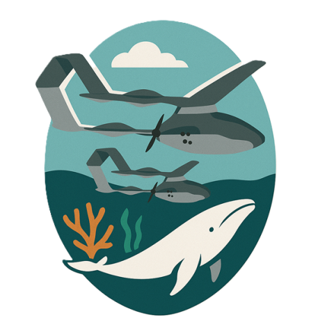
Expanding Ocean Monitoring with High-speed UAVs
Status date: 06 August 2025
High-speed UAVs with satellite links deliver real-time whale presence confirmation, optimising marine area closures and balancing ecosystem protection with economic activity.

OSHI
Status date: 06 August 2025
SeaSat’s Ocean Sentinel Health Index (OSHI) provides real-time, high-resolution satellite monitoring and predictive insights for coastal ocean health. Our service helps aquaculture operators mitigate risks from harmful algal blooms, temperature fluctuations, and water quality changes, ensuring sustainable and profitable marine farming operations.

S4D and dMRV
Status date: 04 July 2025
Seqana delivers a cost-effective Monitoring, Reporting, and Verification (MRV) solution for agrifood companies, carbon project developers, and farming platforms. Using satellite data and machine learning, we map soil carbon levels and reduce the need for physical sampling, which cuts costs without compromising accuracy. Our approach enhances scalability, compliance, and transparency, enabling smarter, data-driven carbon farming.
Data4Water
Status date: 04 August 2025
Data4Water is a next-generation solution transforming how India’s Godavari River Basin is managed. Building on a successful feasibility study, this demonstrator delivers high-resolution forecasts, data, and insights on rivers and streams to support smarter, more sustainable decisions in agriculture, hydropower, irrigation, and fisheries. By combining satellite technology, in-situ monitoring, and AI, Data4Water unlocks the full potential of continental freshwater systems for resilience and impact.
SAPS
Status date: 04 August 2025
The aim of the project is to create a system for tracking criminals using GNSS signal jamming devices to steal cars and kidnap civilians. The project involves exploring the possibility of creating a system for tracing the disturbed signal based on low-budget GNSS receivers. The system would make it possible to determine the time and direction of the offender's escape from the crime scene.

The Digital Worksite
Status date: 01 August 2025
The Digital Worksite project develops a satellite-enabled solution to improve safety and efficiency for railway maintenance teams by tracking people, vehicles and equipment in real-time during worksites.
RoadCast
Status date: 01 August 2025
RoadCast provides high-resolution, route-based weather nowcasting to support safer and smarter mobility. Our solution delivers real-time forecasts and hazard alerts for rain, wind, hailstorms and road conditions, enabling proactive risk management and reduced losses for autonomous vehicles resulting safer and expanded operations.

Evento
Status date: 01 August 2025
Experience the future of ticketing with Evento – the secure digital marketplace using geofencing to stop fraud and duplicated tickets. No scams, no copies. Just safe purchases, easy ticket management, and real-time event info right at the venue.